geo.wikisort.org - Mountains
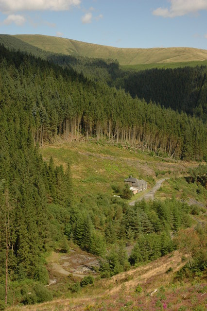
Mynydd Hendre-ddu or Mynydd Hendreddu is a mountain in southern Snowdonia, Wales. It is one of a line of mountains running from Mynydd Dolgoed in the north, through Mynydd Llwydiarth to Mynydd Hendre-ddu and on to Mynydd y Foel, Y Grug, Mynydd Tri-Arglwyd and Mynydd Gwyn to the south of the village of Aberangell. It forms the watershed between Nant Llwydiarth, which flows to the south-west and into the Afon Dulas, and streams flowing into Afon Angell to the north, which flow east into the River Dyfi.[2]
| Mynydd Hendre-ddu | |
|---|---|
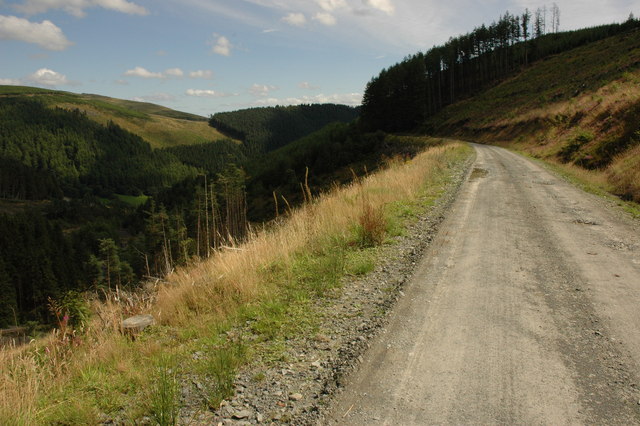 Road on the flank of Mynydd Hendre-ddu | |
| Highest point | |
| Elevation | 379.5 m (1,245 ft)[1] |
| Listing | Hendre-ddu mountain |
| Naming | |
| Language of name | Welsh |
| Geography | |
| Location | Gwynedd, UK |
| Parent range | Snowdonia |
The summit is notable for a set of parallel ridges about 80 centimetres (31 in) across and 130 metres (430 ft) long that run across it.[2]
On the northern slope of the mountain lay the Hendre Ddu slate quarry which was connected to Aberangell by the Hendre-Ddu Tramway.
Mynydd Hendre-ddu is one of the Dyfi hills.
References
- "MYNYDD HENDRE-DDU, GWYNEDD (SY20 9LX)". Ordnance Survey. Retrieved 7 September 2019.
- "Mynydd Hendre-ddu, Ridges (?natural Feature) (400825)". Coflein. RCAHMW. Retrieved 29 September 2021.
Другой контент может иметь иную лицензию. Перед использованием материалов сайта WikiSort.org внимательно изучите правила лицензирования конкретных элементов наполнения сайта.
WikiSort.org - проект по пересортировке и дополнению контента Википедии