geo.wikisort.org - Mountains
Mukhra Thuthai Haphong[1] is a significant border peak of Bangladesh, situated in the southern part of Belaichori of Rangamati Hill District. In April 2013, Fahim Hasan of BD Explorer summitted and measured this peak for the first time. Elevation measured at 953.6 metres (3,129 ft).[2] The name of the peak was collected by BD Explorer[3] and confirmed by the local tribal people of Dhupanichora village. The name Mukhra Thuthai Haphong came from the Tripura language. Nearest settlement is known as Dhupanichora para. The easiest route to summit this peak is to start from Ruma of Bandarban district.
| Mukhra Thuthai Haphong | |
|---|---|
 Three peaks of Mukhra Thuthai Haphong | |
| Highest point | |
| Elevation | 953.6 m (3,129 ft) |
| Prominence | 125 m (410 ft) |
| Isolation | 3 km (1.9 mi) |
| Listing | List of mountains of Bangladesh |
| Coordinates | 21°58′52″N 92°36′13″E |
| Geography | |
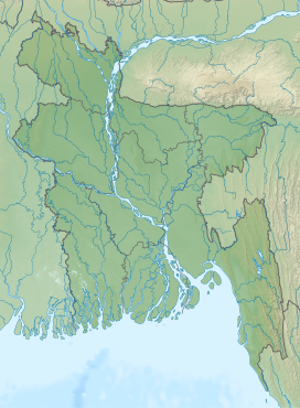 Mukhra Thuthai Haphong Geo position of Mukhra Thuthai Haphong | |
| Location | Belaichori Rangamati |
| Parent range | Reng Tlang |
| Geology | |
| Mountain type | Mountain |
See also
- Geography of Bangladesh
- List of countries by highest point
- List of mountains of Bangladesh
External links
- https://web.archive.org/web/20180201145135/http://www.panoramio.com/user/6710203
- http://www.wikiloc.com/wikiloc/user.do?name=BD+Explorer&id=605439
References
This Chittagong Division location article is a stub. You can help Wikipedia by expanding it. |
This Myanmar location article is a stub. You can help Wikipedia by expanding it. |
На других языках
[de] Mukhra Thuthai Haphong
Der Mukhra Thuthai Haphong (auch Mukhrathuthai Haphong) ist ein Berg in der Nähe des Dreiländerecks zwischen Bangladesch, Indien und Myanmar.- [en] Mukhra Thuthai haphong
Другой контент может иметь иную лицензию. Перед использованием материалов сайта WikiSort.org внимательно изучите правила лицензирования конкретных элементов наполнения сайта.
WikiSort.org - проект по пересортировке и дополнению контента Википедии