geo.wikisort.org - Mountains
Yamantau (Bashkir: Ямантау, Russian: гора Ямантау) is a mountain in the Ural Mountains, located in Beloretsky District, Bashkortostan, Russia. Standing at 1,640 metres (5,381 ft) it is the highest mountain in the Southern Ural section, and is featured within the South Ural Nature Reserve.
This article needs additional citations for verification. (March 2009) |
| Yamantau | |
|---|---|
 | |
| Highest point | |
| Elevation | 1,640 m (5,380 ft) |
| Prominence | 1,330 m (4,360 ft) |
| Coordinates | 54.255°N 58.102°E |
| Geography | |
 Yamantau Beloretsky District, Bashkortostan, Russia 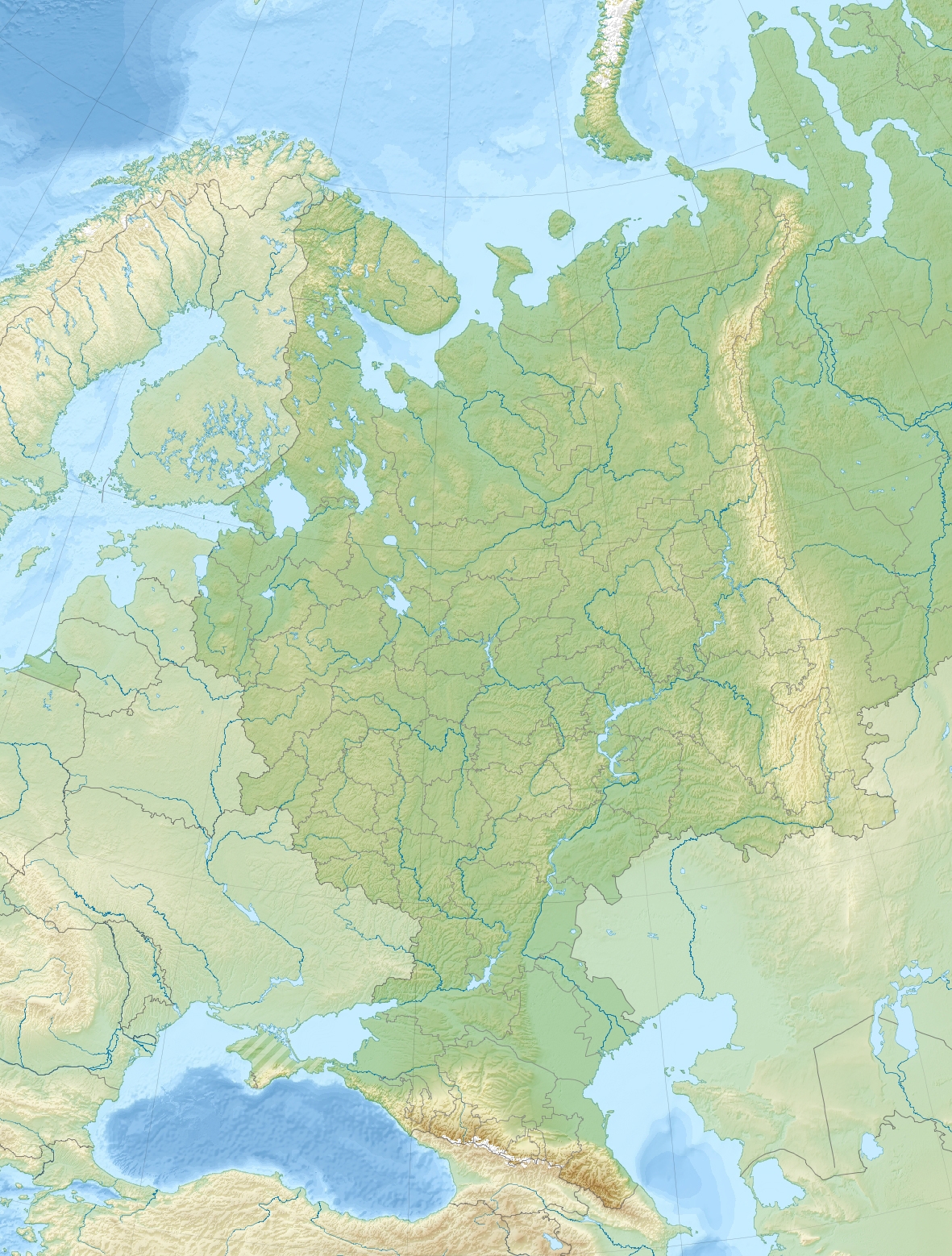 Yamantau Yamantau (European Russia) | |
| Parent range | Ural Mountains |
| Yamantau | |
|---|---|
| Part of Armed Forces of the Russian Federation | |
| Mezhgorye, Republic of Bashkortostan, Russia | |
| Coordinates | 54.255°N 58.102°E |
| Type | Underground military facility |
| Site information | |
| Controlled by | Armed forces of the Russian Federation |
| Condition | Unknown |
| Site history | |
| Built | Under construction (2003) |
| In use | Unknown |
| Garrison information | |
| Garrison | Mezhgorye |
| Occupants | Unknown |
Yamantau is notable as the subject of claims by the United States that a secret extensive bunker complex of the Russian government or Russian Armed Forces is contained within the mountain, similar to the Cheyenne Mountain Complex.
Name
The name of the mountain is derived from "Yaman Tau" (Яман тау), which translates to "evil mountain", "bad mountain", or "wicked mountain" in the local Bashkir language and the other Turkic languages of the Idel-Ural region.
Bunker complex claims
Yamantau, along with Kosvinsky Mountain (600 km to the north), are claimed by the United States of being home to a large secret nuclear facility or bunker, or both.[1] Large excavation projects have been observed by U.S. satellite imagery after the fall of the Soviet Union, as recently as the late 1990s during the government of Boris Yeltsin.[1] During the Soviet era two military garrisons, Beloretsk-15 and Beloretsk-16, and possibly a third, Alkino-2, were built on the site. These garrisons were unified into the closed town of Mezhgorye (Russian: Межгорье) in 1995, and the garrisons are said to house 30,000 workers each, served by large rail lines.[2]
Repeated U.S. questions have yielded several different responses from the Russian government regarding Yamantau, including it is a mining site, a repository for Russian treasures, a food storage area, and a bunker for leaders in case of nuclear war.[3][2] Responding to questions regarding Yamantau in 1996, Russia's Defense Ministry stated: "The practice does not exist in the Defense Ministry of Russia of informing foreign mass media about facilities, whatever they are, that are under construction in the interests of strengthening the security of Russia."[2] In 1997, a United States Congressional finding, related to the country's National Defense Authorization Act for 1998, stated that the Russian Federation kept up a "deception and denial policy" about the mountain complex after U.S. officials had given Cheyenne Mountain Complex tours to Russian diplomats, which the finding stated "... does not appear to be consistent with the lowering of strategic threats, openness, and cooperation that is the basis of the post-Cold War strategic partnership between the United States and Russia."[4]
In popular culture
- Mount Yamantau is featured in the video game Metro Exodus where it has been taken over by cannibals.
- Mount Yamatau also featured in the 2010 video game Call of Duty: Black Ops 1 where it houses a base for a fictional chemical weapon - the Nova 6.
See also
- Nuclear bunker buster
- Raven Rock Mountain Complex
- Cheyenne Mountain Complex
- Kosvinsky Kamen
References
- Blair, Bruce G (May 25, 2003). "We Keep Building Nukes For All the Wrong Reasons" (PDF). The Washington Post. Archived from the original (PDF) on 4 March 2016. Retrieved 28 February 2009.
- Gordon, Michael R. (April 16, 1996). "Despite Cold War's End, Russia Keeps Building a Secret Complex". The New York Times. Retrieved 28 February 2009.
- "Yamantau, Beloretsk-15, Beloretsk-16, Alkino-2", Weapons of Mass Destruction, Global Security.
- PROVIDING FOR CONSIDERATION OF H.R. 1119, NATIONAL DEFENSE AUTHORIZATION ACT FOR FISCAL YEAR 1998 (House of Representatives - June 19, 1997 (SEC. 1209 a.5)
External links
На других языках
[de] Jamantau
Die Jamantau (russisch Ямантау, Baschkirisch Ямантау — nutzloser oder schlechter Berg) ist mit 1640 m der höchste Berg des südlichen Ural. Er liegt in der zu Russland gehörenden Republik Baschkortostan unmittelbar an der Grenze zur Oblast Tscheljabinsk. In der Nähe des Bergs befindet sich das Naturreservat Schulgan-Tasch sowie die durch Steinzeitmalereien bekannte Höhle von Kapowa. Der Berg hat einen Doppelgipfel, neben dem Großen existiert auch noch der Kleine Jamantau (1510 m) als Nebengipfel.- [en] Mount Yamantau
[fr] Mont Iamantaou
Le mont Iamantaou (en russe : гора Ямантау ; bachkir : Ямантау) est, avec 1 638 m d'altitude, le plus haut sommet de la partie méridionale du massif de l'Oural en Russie. Il est situé en République de Bachkirie, à dix kilomètres de sa frontière avec l'oblast de Tcheliabinsk. Il fait partie d'un chaînon large de trois kilomètres et long de cinq, qui est constitué de deux sommets, le Grand Iamantaou de 1 638 m d'altitude et le Petit Iamantaou de 1 512 m, et se trouve dans le territoire de la réserve naturelle de l'Oural du Sud.[it] Monte Jamantau
Il Monte Jamantau (in baschiro e in russo "Ямантау") fa parte dei monti Urali meridionali, e si trova in Baschiria, in Russia.[ru] Ямантау
Яманта́у (башк. Яман тау — «плохая (злая) гора») — высшая точка Южного Урала. Расположена в Белорецком районе Республики Башкортостан Российской Федерации. Высота над уровнем моря — 1640,4 м[1]. В 2 километрах к юго-востоку расположена вершина Малый Ямантау (1512,7 м). Находится на территории Южно-Уральского заповедника.Другой контент может иметь иную лицензию. Перед использованием материалов сайта WikiSort.org внимательно изучите правила лицензирования конкретных элементов наполнения сайта.
WikiSort.org - проект по пересортировке и дополнению контента Википедии