geo.wikisort.org - Mountains
Mount Wyatt Earp (77°34′S 86°25′W) is a mainly snow-covered peak, 2,370 m, standing 3 nautical miles (6 km) west-northwest of Mount Ulmer in the north part of Sentinel Range, Antarctica. It is connected to Matsch Ridge and Mount Ulmer by Skamni Saddle.

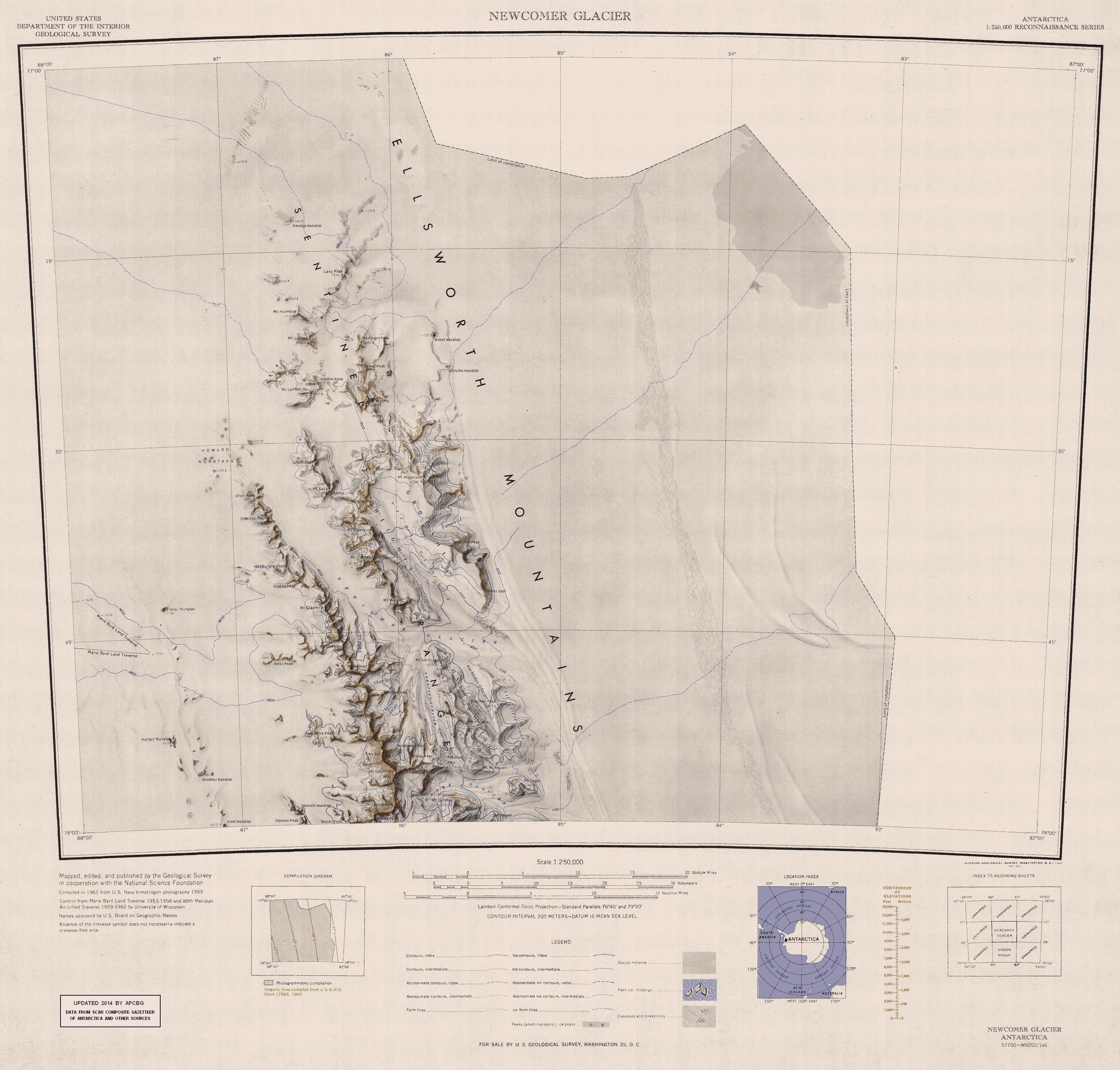
The mountain was discovered by Lincoln Ellsworth on his trans-Antarctic flight of November 23, 1935. Named by the US-ACAN for the ship Wyatt Earp, used by Ellsworth in four expeditions to Antarctica between 1933 and 1939.[1]
Further reading
- M.J. Hambrey, P.F. Barker, P.J. Barrett, V. Bowman, B. Davies, J.L. Smellie, M. Tranter, editors, Antarctic Palaeoenvironments and Earth-Surface Processes, PP 89–90
- David J. Cantrill, Imogen Poole, The Vegetation of Antarctica through Geological Time, PP 38–39
- Damien Gildea, Mountaineering in Antarctica: complete guide: Travel guide
- International Symposium on Antarctic Earth Sciences (1987), Geological Evolution of Antarctica, Cambridge, England, PP 195–197
References
- "Mount Wyatt Earp". Geographic Names Information System. United States Geological Survey, United States Department of the Interior. Retrieved 11 November 2010.
![]() This article incorporates public domain material from the United States Geological Survey document: "Mount Wyatt Earp". (content from the Geographic Names Information System)
This article incorporates public domain material from the United States Geological Survey document: "Mount Wyatt Earp". (content from the Geographic Names Information System)
This Ellsworth Land location article is a stub. You can help Wikipedia by expanding it. |
На других языках
[de] Mount Wyatt Earp
Mount Wyatt Earp ist ein 2370 m hoher und hauptsächlich verschneiter Berg im westantarktischen Ellsworthland. Er ragt 5 km westnordwestlich des Mount Ulmer im nördlichen Teil der Sentinel Range des Ellsworthgebirges auf.- [en] Mount Wyatt Earp
Текст в блоке "Читать" взят с сайта "Википедия" и доступен по лицензии Creative Commons Attribution-ShareAlike; в отдельных случаях могут действовать дополнительные условия.
Другой контент может иметь иную лицензию. Перед использованием материалов сайта WikiSort.org внимательно изучите правила лицензирования конкретных элементов наполнения сайта.
Другой контент может иметь иную лицензию. Перед использованием материалов сайта WikiSort.org внимательно изучите правила лицензирования конкретных элементов наполнения сайта.
2019-2026
WikiSort.org - проект по пересортировке и дополнению контента Википедии
WikiSort.org - проект по пересортировке и дополнению контента Википедии