geo.wikisort.org - Mountains
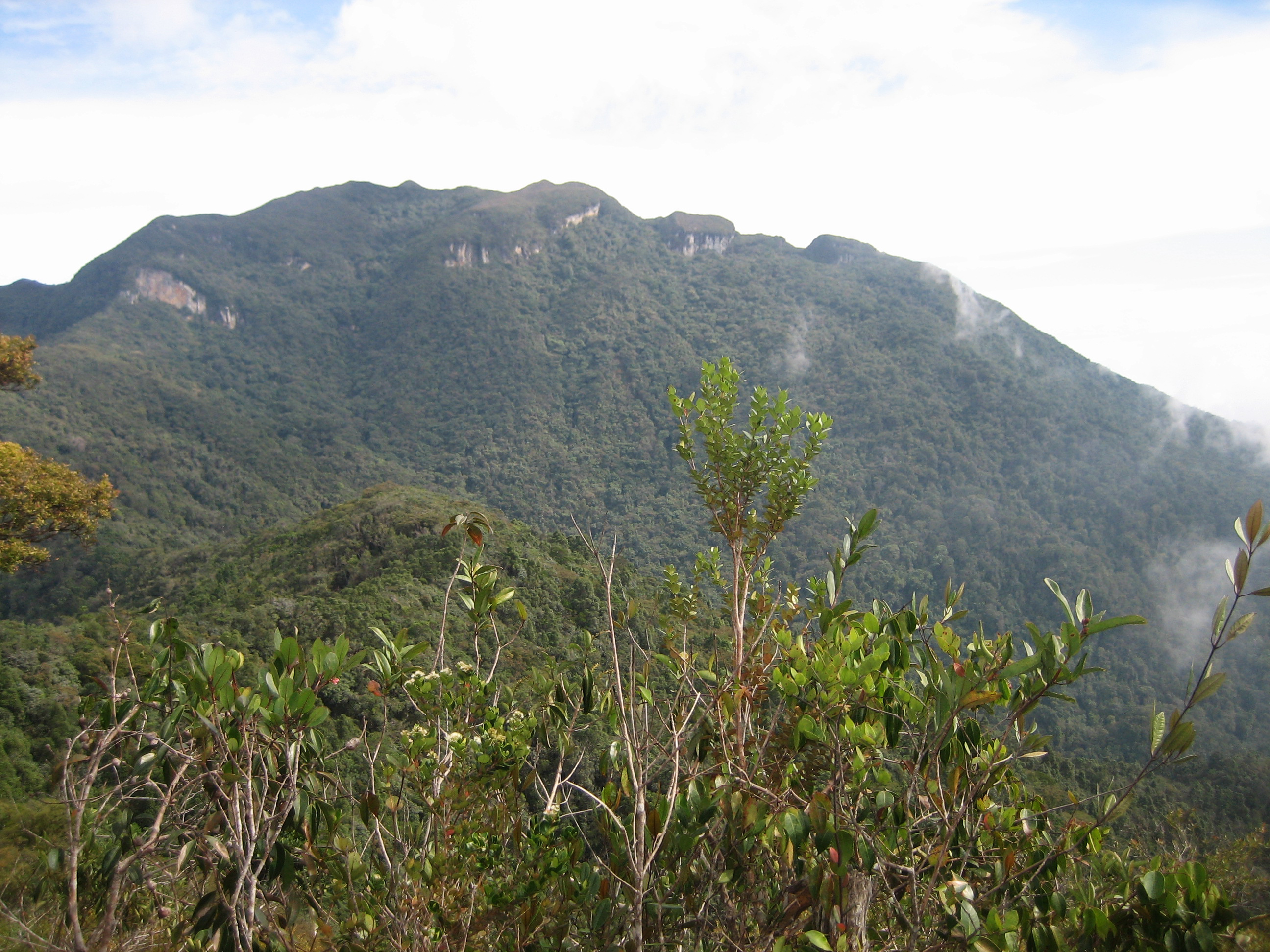
Mount Tahan (Malay: Gunung Tahan), is the highest point in Peninsular Malaysia with an elevation of 7,175 ft (2,187 m) above sea level. It is located within the Taman Negara national forest, in the state of Pahang. The mountain is part of the Tahan Range in the Tenasserim Hills and is popular with local climbers.
This article needs additional citations for verification. (May 2014) |
| Mount Tahan | |
|---|---|
| Gunung Tahan ڬونوڠ تاهن | |
 | |
| Highest point | |
| Elevation | 2,187 m (7,175 ft)[1] |
| Prominence | 2,140 m (7,020 ft)[1] |
| Listing | Ultra Ribu |
| Coordinates | 4°37′57″N 102°14′03″E[1] |
| Geography | |
 Mount Tahan Malaysia | |
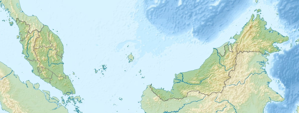
| Location | Taman Negara National Park, Pahang, Malaysia |
| Parent range | Tahan Range |
Gunung Tahan is considered by many to be one of the toughest treks in Peninsular Malaysia.
Trails
There are three trails to the summit, commonly referred to as:
- Kuala Tahan-Kuala Tahan
- Merapoh-Kuala Tahan or Kuala Tahan-Merapoh
- Merapoh-Merapoh
The Kuala Tahan classic trail is the oldest and most scenic trail. A return trip on this trail typically takes seven days. Climbers have to trek across undulating ridges and make several river crossings before finally reaching the foot of the mountain to make the final ascent. Climbers without adequate physical fitness or training are not advised to attempt Gunung Tahan.
The other two trails are from Merapoh (Sungai Relau). The Merapoh-Merapoh trail is significantly shorter than the other two. A return trip on the Merapoh trail takes 3–4 days. A traverse from Kuala Tahan to Merapoh (or the other way around) takes around 5 days.
Temperature
Mount Tahan can be very cold at night. Temperatures can range from 4 °C to 18 °C between December and January, and 7 °C to 27 °C between June and September. Frost can sometimes appear at the summit.
Gallery
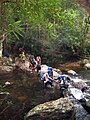 River crossing near Kuala Juram
 Sunset near Kem Botak
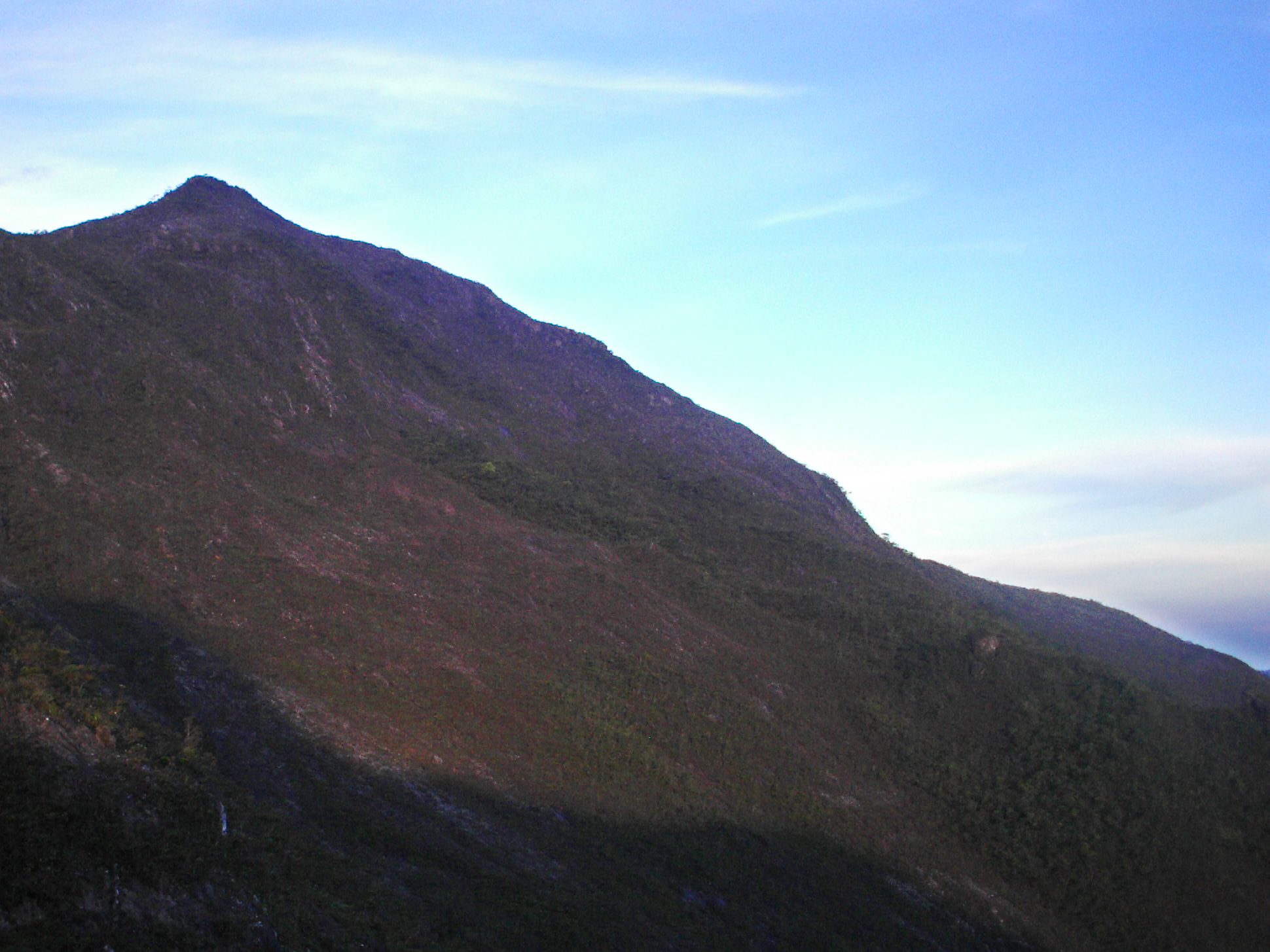
 View at dawn near Kem Botak
 Unnamed lesser peak, viewed from Kem Botak
 Wooden signboard at the peak. The roof has been torn off due to severe weather in recent years
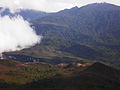 Lembah Teku, above Kem Gedung
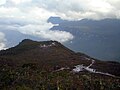 Kem Gedung
 Steep descent via a series of metal ladders at Gunung Tangga Lima Belas
 Usnea near the peak
 Orchids near the peak
 Rafflesia near Wray's Camp


See also
- List of mountains in Malaysia
- List of Southeast Asian mountains
- List of Ultras of Southeast Asia
References
- "Southeast Asia: Cambodia, Laos, Thailand, Vietnam and Peninsular Malaysia". Peaklist.org. Retrieved 2014-05-28.
External links
На других языках
[de] Gunung Tahan
Der Gunung Tahan (indon. Gunung = „Berg“) ist mit 2187 m der höchste Berg der Malaiischen Halbinsel in Südostasien.- [en] Mount Tahan
[fr] Gunung Tahan
Le Gunung Tahan est la plus haute montagne de Malaisie péninsulaire et le point culminant de la chaîne Tenasserim, à 2 187 m d'altitude. Il fait partie du parc national de Taman Negara.[it] Monte Tahan
Il Monte Tahan (in Malay Gunung Tahan) è una montagna della Malaysia nello Stato di Pahang, sulla Penisola malese.[ru] Гунунг-Тахан
Гуну́нг-Таха́н (малайск. Gunung Tahan) или Тахан — высочайшая вершина полуострова Малакка. Высота — 2190 м.[1] Является частью горного хребта Тахан в составе горной цепи Тенассерим (англ.), тянущейся от Бирмы на севере до самого юга Малаккского полуострова.Другой контент может иметь иную лицензию. Перед использованием материалов сайта WikiSort.org внимательно изучите правила лицензирования конкретных элементов наполнения сайта.
WikiSort.org - проект по пересортировке и дополнению контента Википедии