geo.wikisort.org - Mountains
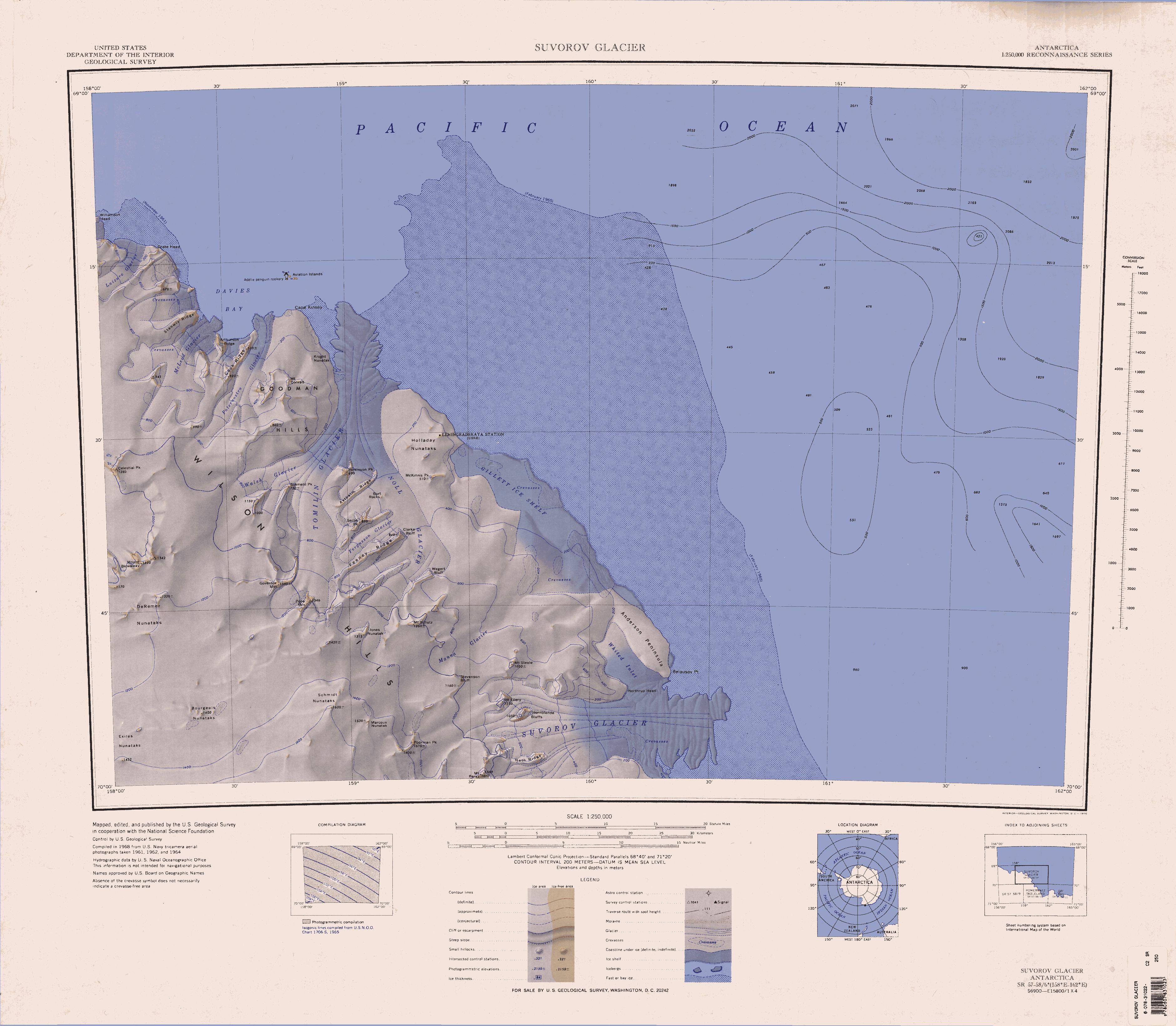
Mount Perez (70°0′S 159°32′E) is a mountain (1,610 m) at the south side of the upper reaches of Suvorov Glacier, 6 nautical miles (11 km) southwest of Hornblende Bluffs, in the Wilson Hills. Named by Advisory Committee on Antarctic Names (US-ACAN) for Manuel J. Perez, Photographer's Mate, U.S. Navy member of the United States Geological Survey (USGS) Topo West survey party that established geodetic control for features between Cape Adare and the Wilson Hills during 1962–63.
![]() This article incorporates public domain material from the United States Geological Survey document: "Mount Perez". (content from the Geographic Names Information System)
This article incorporates public domain material from the United States Geological Survey document: "Mount Perez". (content from the Geographic Names Information System)
This Oates Land location article is a stub. You can help Wikipedia by expanding it. |
На других языках
[de] Mount Perez
Der Mount Perez ist ein 1610 m hoher Berg im Norden des ostantarktischen Viktorialands. In den Wilson Hills ragt er 10 km südwestlich der Hornblende Bluffs auf der Südseite des oberen Abschnitts des Suworow-Gletschers auf.- [en] Mount Perez
Текст в блоке "Читать" взят с сайта "Википедия" и доступен по лицензии Creative Commons Attribution-ShareAlike; в отдельных случаях могут действовать дополнительные условия.
Другой контент может иметь иную лицензию. Перед использованием материалов сайта WikiSort.org внимательно изучите правила лицензирования конкретных элементов наполнения сайта.
Другой контент может иметь иную лицензию. Перед использованием материалов сайта WikiSort.org внимательно изучите правила лицензирования конкретных элементов наполнения сайта.
2019-2026
WikiSort.org - проект по пересортировке и дополнению контента Википедии
WikiSort.org - проект по пересортировке и дополнению контента Википедии