geo.wikisort.org - Mountains
Mount Okmok is the highest point on the rim of Okmok Caldera (Unmagim Anatuu[2] in Aleut) on the northeastern part of Umnak Island in the eastern Aleutian Islands of Alaska. This 9.3 kilometers (5.8 mi) wide circular caldera truncates the top of a large shield volcano. The volcano is currently rated by the Alaska Volcano Observatory as Aviation Alert Level Green and Volcanic-alert Level Normal.[1]
| Mount Okmok | |
|---|---|
 Aerial view looking across Okmok Caldera. | |
| Highest point | |
| Elevation | 3,519 ft (1,073 m) |
| Coordinates | 53°28′05″N 168°10′30″W |
| Geography | |
 Mount Okmok Umnak Island  Mount Okmok Mount Okmok (Alaska) | |
| Location | Umnak Island, Aleutian Islands, Alaska, US |
| Topo map | USGS Umnak B-1 |
| Geology | |
| Mountain type | Shield volcano Complex with nested Caldera[1] |
| Volcanic arc/belt | Aleutian Arc |
| Last eruption | July to August 2008 |
Crater lakes
A crater lake once filled much of the caldera, but the lake ultimately drained through a notch eroded in the northeast rim. The prehistoric lake attained a maximum depth of about 150 meters (490 ft) and the upper surface reached an elevation of about 475 meters (1,600 ft), at which point it overtopped the low point of the caldera rim. Small, shallow remnants of the lake remained north of Cone D at an altitude of about 330 meters (1,100 ft): a small shallow lake located between the caldera rim and Cone D; a smaller lake (named Cone B Lake) farther north near the caldera's gate. After the 2008 eruption, the hydrogeology of the caldera was greatly changed with five separate sizable lakes now emplaced. In addition to the caldera lakes, Cone A, Cone E, Cone G and the new 2008 vent on Cone D contain small crater lakes.
Eruptive history
Major eruptions of Okmok—with a Volcanic Explosivity Index (VEI) strength of 6—occurred approximately 8,300 and 2,050 years ago (i.e., BP). In 2020, volcanic ash deposits found in ice cores from the Greenland ice cap were found to have come from the eruption of Okmok Caldera previously dated between 150-50 BCE. Analysis of the ice cores resulted in a new, more precise date of 43-41 BCE. Based on the eruption date and global climate models, investigators hypothesize that the 43 BCE eruption led to crop failures and famine around the Mediterranean Sea, potentially influencing events surrounding the fall of the Roman Republic and the end of Pharaonic rule in Egypt.[3][4][5][6][7] After the caldera formed, numerous satellite cones and lava domes have formed on the flanks of the volcano. They include Mount Tulik (1,253 meters (4,100 ft)), Mount Idak (585 meters (1,900 ft)), and Jag Peak. At least seventeen eruptions of Okmok have been noted since 1805.[5]
July 2008 eruption


On Saturday, July 12, 2008, Okmok Caldera exploded without warning, sending a plume of ash to 50,000 feet (15,000 m) into the air.
During the following five and a half days of nearly continuous eruption, residents of Nikolski (47 miles southwest) were stranded for periods of up to three weeks; Unalaska (73 miles northeast) was repeatedly dusted with ash and flights into and out of this major fishing hub were frequently disrupted; floating rafts of scoria and low visibility prompted the Coast Guard to close Umnak Pass to marine traffic; and the Bering Pacific cattle ranch on the flanks of Okmok was periodically evacuated, once during noon-time darkness caused by heavy ashfall. The eruption ended in August 2008. It had a VEI of 4, giving it a rating of "cataclysmic." No lava flow was reported in this eruption, though the volcano has issued flows in the past.[8][9]
The eruption took place at a new vent in the northeast part of the caldera, creating a roughly 800 ft high cone, dramatically altering caldera hydrology, and discharging huge lahars, or volcanic mudflows, running from the caldera to the coast. In contrast, all 20th-century eruptions were from a cone near the southern rim of the caldera. The 2008 eruption was by far the largest eruption at Okmok since at least the early 13th century.[8]
References
- Okmok – Introduction. Avo.alaska.edu (2008-07-12). Retrieved 2010-11-24.
- Bergsland, K. (1994). Aleut Dictionary. Fairbanks: Alaska Native Language Center.
- McConnell, Joseph R.; et al. (2020). "Extreme climate after massive eruption of Alaska's Okmok volcano in 43 BCE and effects on the late Roman Republic and Ptolemaic Kingdom". Proceedings of the National Academy of Sciences. 117 (27): 15443–15449. Bibcode:2020PNAS..11715443M. doi:10.1073/pnas.2002722117. PMC 7354934. PMID 32571905. S2CID 219982451.
- Miller, Thomas P.; Smith, Robert L. (1987). "Late Quaternary caldera-forming eruptions in the eastern Aleutian arc, Alaska". Geology. 15 (5): 434–438. Bibcode:1987Geo....15..434M. doi:10.1130/0091-7613(1987)15<434:LQCEIT>2.0.CO;2. ISSN 0091-7613.
- "Global Volcanism Program | Okmok". Smithsonian Institution | Global Volcanism Program. Retrieved 2020-06-22.
- Smith, Kiona N. (2020-06-22). "The volcano that caused famines in ancient Rome? It was in Alaska". Ars Technica. Retrieved 2020-06-22.
- page 15, The Daily Telegraph Wednesday 24 June 2020
- Alaska Volcano Observatory, Okmok Reported Activity, 2008
- "Alaska volcano erupts; island residents evacuated". Reuters. July 13, 2008. Retrieved 2008-07-13.
External links
| Wikimedia Commons has media related to Okmok volcano. |
- Google Earth view
- "Okmok". Global Volcanism Program. Smithsonian Institution.
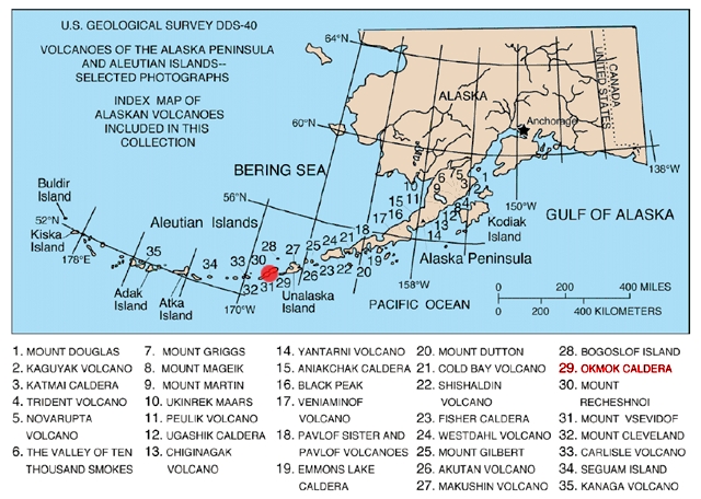
- Volcanoes of the Alaska Peninsula and Aleutian Islands-Selected Photographs
- "Sulfur Dioxide from Okmok Volcano", JPL/NASA image
- Okmok Volcano Ash Cloud Photo page of the Okmok Volcano ash could, July 22, 2008
- Okmok Volcano on Volcano Discovery
| Authority control: National libraries |
|---|
На других языках
[de] Mount Okmok
Der Mount Okmok ist der höchste Punkt des Randes der Okmok Caldera auf dem nordöstlichen Teil von Umnak in den östlichen Aleuten in Alaska.- [en] Mount Okmok
[fr] Caldeira Okmok
La caldeira Okmok (en anglais Okmok Caldera, en aléoute Unmagim Anatuu) est une caldeira située sur l'île d'Umnak (îles Aléoutiennes, Alaska, États-Unis). Couronnant un volcan bouclier de 35 km de diamètre[1], elle culmine à 1 073 m d'altitude au mont Okmok constitué par le rebord nord-ouest de la dépression. Celle-ci contient plusieurs cônes volcaniques et plusieurs lacs dont les cours d'eau se déversent hors de la caldeira par le nord-est. Sur son flanc sud-est se trouve le mont Tulik culminant à 1 253 m[1].[it] Monte Okmok
Il Monte Okmok è il punto più elevato di un'ampia caldera, di 9.5 km di diametro, formatasi circa 2.400 anni fa[1]in seguito al collasso di un vasto vulcano a scudo. Il complesso costituisce per intero la parte Nord-Orientale dell'isola di Umnak, nella Aleutine. Il fondo della caldera è attualmente caratterizzato da una serie di coni, alcuni dei quali tuttora attivi, e da un piccolo lago, parte rimanente di uno più antico che riempiva tutta la caldera, posto a Nord dove la stessa è profondamente scavata.[ru] Окмок
Окмок (англ. Mount Okmok) — щитовидный вулкан на острове Умнак в штате Аляска (США)[2]. Активный вулкан. Состоит из базальта. Скорость лавовых потоков 8 м/с. Извержение вулкана Окмок в 43 году до н. э. считается одним из самых крупных за последние 2500 лет[3]. За последние 30 лет вулкан извергался 2 раза:Другой контент может иметь иную лицензию. Перед использованием материалов сайта WikiSort.org внимательно изучите правила лицензирования конкретных элементов наполнения сайта.
WikiSort.org - проект по пересортировке и дополнению контента Википедии