geo.wikisort.org - Mountains
Marsabit is a 6300 km2 basaltic shield volcano in Kenya, located 170 km east of the center of the East African Rift, in Marsabit County near the town of Marsabit. This was primarily built during the Miocene, but some lava flows and explosive maar-forming eruptions have occurred more recently. At least two of the maars host crater lakes.
| Mount Marsabit | |
|---|---|
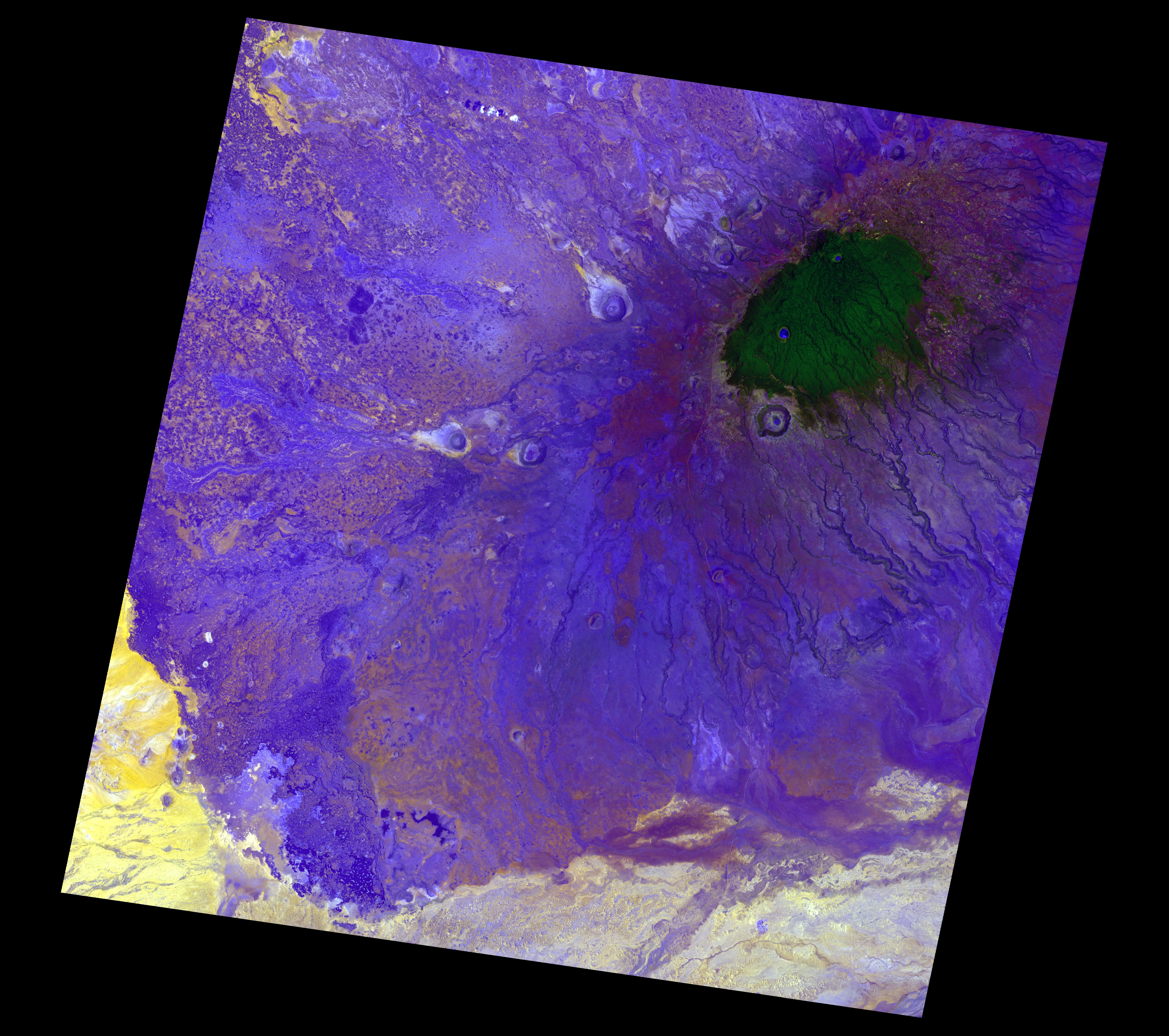 Satellite image of Marsabit | |
| Highest point | |
| Elevation | 1,707 m (5,600 ft) |
| Coordinates | 2°19′N 37°58′E |
| Geography | |
| Location | Eastern Province, Kenya |
| Geology | |
| Mountain type | shield volcano |
| Last eruption | unknown |
The volcano is covered by dense forest. Marsabit National Park is in the area.
It was here, near a body of water they dubbed Lake Paradise, that American explorers Martin and Osa Johnson spent time in the 1920s living and making wildlife documentaries.[1]
See also
References
"Marsabit". Global Volcanism Program. Smithsonian Institution.
- "About Martin and Osa Johnson". Martin & Osa Johnson Safari Museum. Retrieved March 21, 2020.
External links
| Authority control |
|
|---|
This Eastern Province (Kenya) location article is a stub. You can help Wikipedia by expanding it. |
This volcanology article is a stub. You can help Wikipedia by expanding it. |
На других языках
- [en] Mount Marsabit
[fr] Mont Marsabit
Le mont Marsabit est un volcan bouclier basaltique situé au Kenya, à 170 kilomètres du centre de la vallée du Grand Rift, dans le comté de Marsabit. Son origine date du Pliocène mais des effusions de lave et la formation de maars sont plus récentes. Ses pentes sont parsemées de 22 maars et de 180 cônes de cendres ; au moins deux des maars du volcan abritent des lacs de cratère.Другой контент может иметь иную лицензию. Перед использованием материалов сайта WikiSort.org внимательно изучите правила лицензирования конкретных элементов наполнения сайта.
WikiSort.org - проект по пересортировке и дополнению контента Википедии