geo.wikisort.org - Mountains
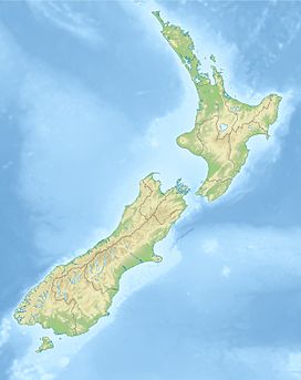
Mount Luxmore is a mountain in the South Island of New Zealand visible from the nearby town of Te Anau. The mountain is 1,472 metres (4,829 ft) high.[1] It is part of the Kepler Track with the highest point on the track being the slightly lower Luxmore Saddle at a height of 1,400 metres (4,600 ft).[2]
| Mount Luxmore | |
|---|---|
 Mount Luxmore showing a covering of beech forest | |
| Highest point | |
| Elevation | 1,472 m (4,829 ft) |
| Coordinates | 45°23′10″S 167°35′26″E |
| Geography | |
South Island, New Zealand | |
The mountain was named by James McKerrow after Philip Bouverie Luxmoore[3] of Timaru.[4]
See also
References
- Harriss, Gavin. "NZ Topo Map". NZ Topo Map. Retrieved 21 February 2014.
- "Mount Luxmore (Kepler Track)". SummitPost.org. Retrieved 16 February 2014.
- "Deaths". The Timaru Herald. Vol. XXXVII, no. 2460. 10 August 1882. p. 2. Retrieved 21 February 2014.
- Reed, A. W. (2010). Peter Dowling (ed.). Place Names of New Zealand. Rosedale, North Shore: Raupo. p. 223. ISBN 9780143204107.
На других языках
- [en] Mount Luxmore
[es] Monte Luxmore
Mount Luxmore es una montaña en la Isla Sur de Nueva Zelanda y es visible desde la cercana ciudad de Te Anau. La montaña tiene 1.472 metros (4.829 pies) de altura.[1] Es parte de la pista Kepler y el punto más alto de la pista es el sillín Luxmore ligeramente a menor altura cercana a los 1.400 metros (4.600 pies).Текст в блоке "Читать" взят с сайта "Википедия" и доступен по лицензии Creative Commons Attribution-ShareAlike; в отдельных случаях могут действовать дополнительные условия.
Другой контент может иметь иную лицензию. Перед использованием материалов сайта WikiSort.org внимательно изучите правила лицензирования конкретных элементов наполнения сайта.
Другой контент может иметь иную лицензию. Перед использованием материалов сайта WikiSort.org внимательно изучите правила лицензирования конкретных элементов наполнения сайта.
2019-2025
WikiSort.org - проект по пересортировке и дополнению контента Википедии
WikiSort.org - проект по пересортировке и дополнению контента Википедии
