geo.wikisort.org - Mountains
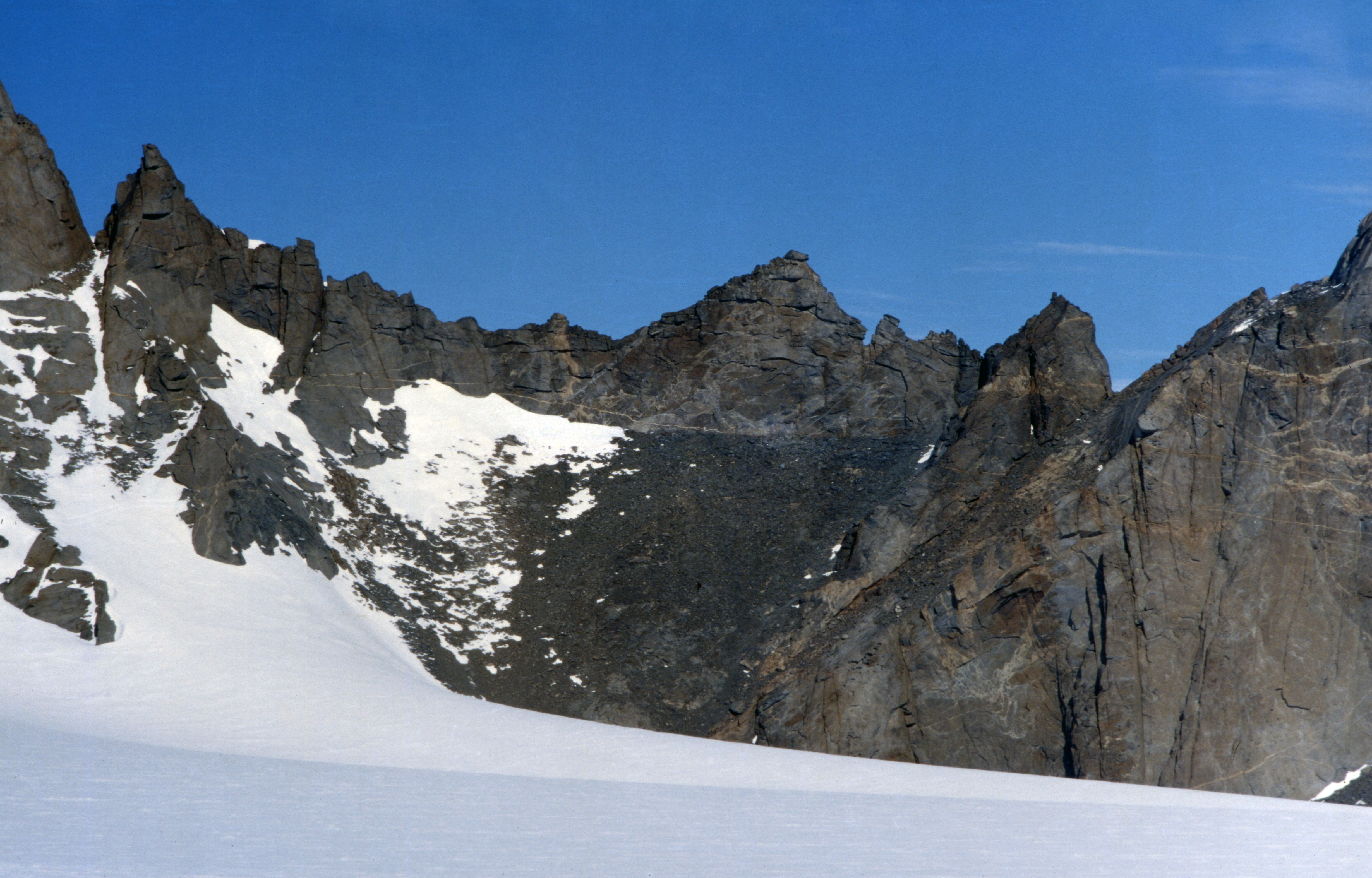
Mount Hochlin (72°5′S 4°3′E) is a large ice-topped mountain, 2,760 metres (9,060 ft) high, standing east of Festninga Mountain in the Mühlig-Hofmann Mountains of Queen Maud Land, Antarctica. The Spøta Spur extends from its north-central section. It was mapped by Norwegian cartographers from surveys and air photos by the Sixth Norwegian Antarctic Expedition (1956–60) and named for L. Hochlin, a radio operator and dog driver with the expedition (1956–58).[1]
See also
- Stålstuten Ridge
- Tunet Valley
References
- "Hochlin, Mount". Geographic Names Information System. United States Geological Survey. Retrieved 2012-06-20.
![]() This article incorporates public domain material from the United States Geological Survey document: "Hochlin, Mount". (content from the Geographic Names Information System)
This article incorporates public domain material from the United States Geological Survey document: "Hochlin, Mount". (content from the Geographic Names Information System)
На других языках
[de] Hochlinfjellet
Der Hochlinfjellet ist ein 2760 m hoher Berg mit Eiskappe im ostantarktischen Königin-Maud-Land. Er ragt östlich des Bergs Festninga aus dem Preuschoff-Rücken im Mühlig-Hofmann-Gebirge auf.- [en] Mount Hochlin
Текст в блоке "Читать" взят с сайта "Википедия" и доступен по лицензии Creative Commons Attribution-ShareAlike; в отдельных случаях могут действовать дополнительные условия.
Другой контент может иметь иную лицензию. Перед использованием материалов сайта WikiSort.org внимательно изучите правила лицензирования конкретных элементов наполнения сайта.
Другой контент может иметь иную лицензию. Перед использованием материалов сайта WikiSort.org внимательно изучите правила лицензирования конкретных элементов наполнения сайта.
2019-2026
WikiSort.org - проект по пересортировке и дополнению контента Википедии
WikiSort.org - проект по пересортировке и дополнению контента Википедии