geo.wikisort.org - Mountains
Mount Haguro (羽黒山, Haguro-san) is one of the Three Mountains of Dewa in the city of Tsuruoka, the ancient province of Dewa (a domain consisting of modern-day Yamagata Prefecture and Akita Prefecture), Japan. As the lowest of the three mountains, standing at 414 m (1,358 ft), it is the only one that is accessible throughout the year.
| Mount Haguro (羽黒山, Haguro-san) | |
|---|---|
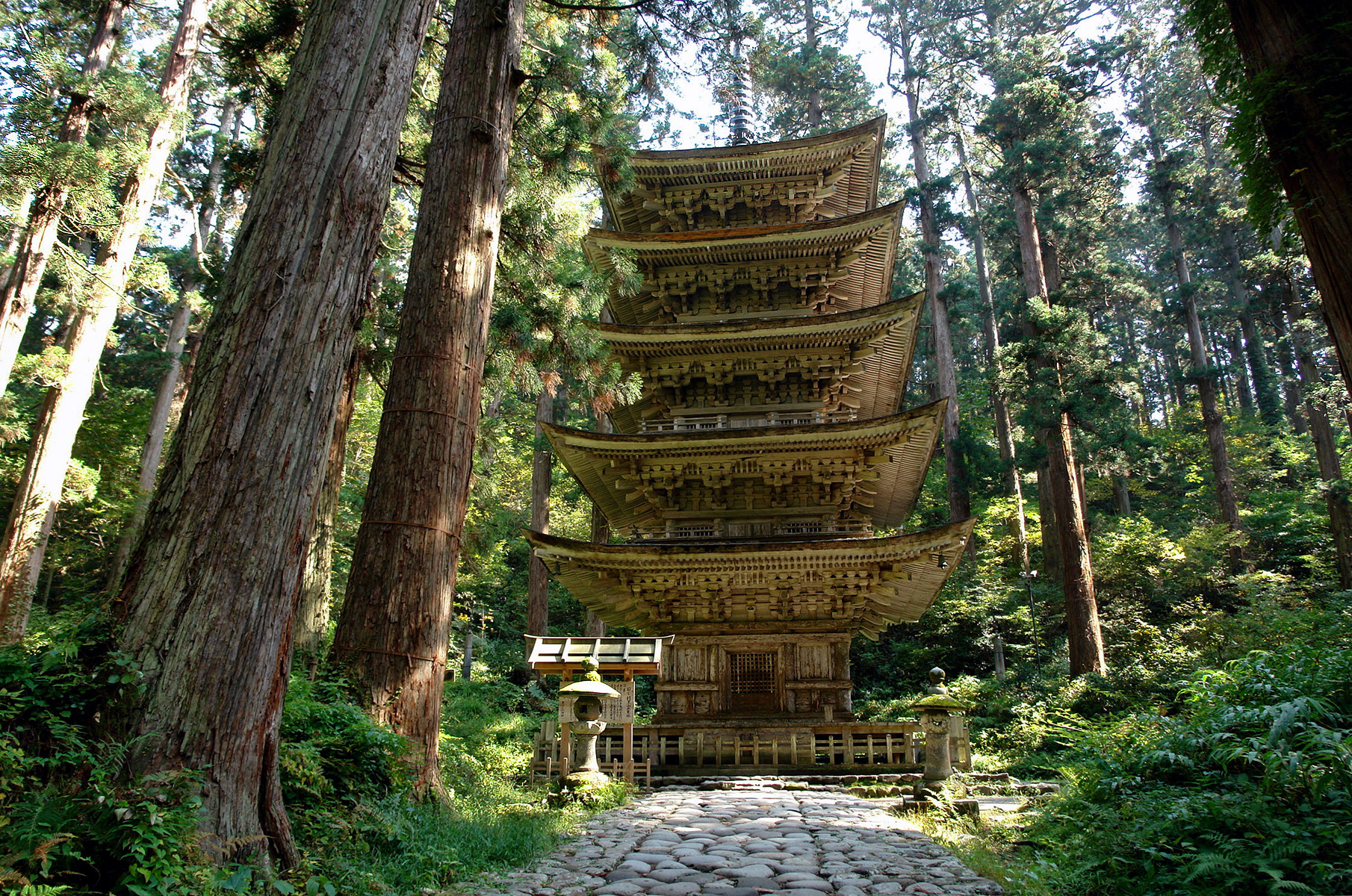 The Gojū-tō Pagoda | |
| Religion | |
| Affiliation | Shinto |
| Location | |
 Shown within Japan | |
| Geographic coordinates | 38°42′09″N 139°58′58″E |
A path of 2,446 stone steps[1] leads to its summit amidst 600-year-old sugi trees, past the famous Gojūnotō (五重塔) five story pagoda, Grandpa cedar (jijisugi 爺杉), the 1000 years old cedar tree, and numerous shrines. The steps and the pagoda are listed as National Treasures. Sanjingōsaiden shrine (三神合祭殿) at the summit venerates the spirits of all three mountains.
The summit can also be reached by bus service. In addition to religious pilgrims, travellers often stay at the Saikan temple lodgings.
Gallery
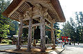 Shōrō
Shōrō Sanzan Gosai-den temple
 Gosai-den-haiden
 Gojū-tō
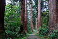 The path to the summit
 Haniyamahime-jinja
 The Gojū-tō Pagoda, near the base of Mount Haguro
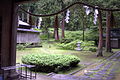 The grounds of the Saikan lodgings.
 A temple at the top of Mount Haguro.
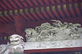 Detailed engraving work atop a temple.
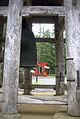 Bell and torii
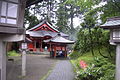 Incense
 Sculpture
 The path to the summit


See also
- List of Special Places of Scenic Beauty, Special Historic Sites and Special Natural Monuments
- Japanese cruiser Haguro
References
- "Mt. Haguro - Japan National Tourism Organization". Retrieved 2017-06-26.
External links
| Wikivoyage has a travel guide for Dewa_Sanzan. |
На других языках
- [en] Mount Haguro
[fr] Mont Haguro
Le mont Haguro (羽黒山, Haguro-san?) est une montagne du Japon, située dans la préfecture de Yamagata, dans la région de Tōhoku, sur l'île de Honshū. D'une altitude de 414 m, il est le moins élevé des Trois monts Dewa.[it] Monte Haguro
Il monte Haguro (羽黒山, Haguro-san) è una montagna del Giappone, situata nella città di Tsuruoka, nell'antica provincia di Dewa (un dominio costituito dall'odierna Prefettura di Yamagata e dalla Prefettura di Akita), nella regione di Tōhoku, nell'isola di Honshū. Con un'altitudine di 414 m, è il più basso delle Tre montagne di Dewa, l'unica accessibile tutto l'anno. In prossimità del monte sacro si è sviluppato un centro di culto dello Shugendō.Другой контент может иметь иную лицензию. Перед использованием материалов сайта WikiSort.org внимательно изучите правила лицензирования конкретных элементов наполнения сайта.
WikiSort.org - проект по пересортировке и дополнению контента Википедии