geo.wikisort.org - Mountains
Mount Dutton is a stratovolcano in the Aleutian Range of the U.S. state of Alaska, on the Alaska Peninsula.
| Mount Dutton | |
|---|---|
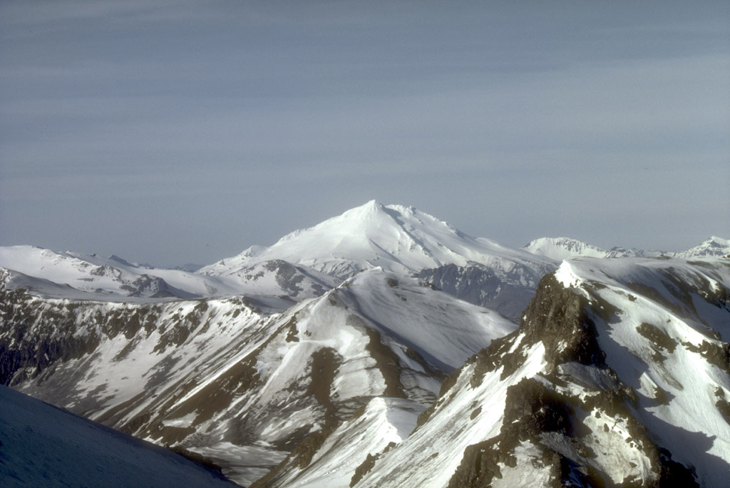 Mount Dutton lies 14 km (9 mi) north of the community of King Cove on the Alaska Peninsula | |
| Highest point | |
| Elevation | 4,941 ft (1,506 m) |
| Listing | Mountain peaks of Alaska |
| Coordinates | 55°10′05″N 162°16′19″W |
| Geography | |
| Location | Alaska Peninsula, Alaska, U.S. |
| Parent range | Aleutian Range |
| Geology | |
| Mountain type | Stratovolcano |
| Volcanic arc/belt | Aleutian Arc |
| Last eruption | Unknown |
Geography
Dutton lies just short of 9 miles (14 km) from King Cove, a fishing headquarters for the locality.[1]
Geologic activity

Dutton is a highly glaciated volcano. Its summit is composed of a series of lava domes which form a complex stratovolcano. The mountain's recent history is marked by at least avalanche which removed andesitic lava flows and several lava domes from the flank of its body and swiftly cascaded westward and southward towards Belkofski Bay.[1]
Between 1984 and 1985, a series of earthquake swarms took place in the volcano's vicinity. Another swarm took place in the summer of 1988.[1]
See also
References
- "Dutton". Global Volcanism Program. Smithsonian Institution. Retrieved April 17, 2011.
Sources
- Volcanoes of the Alaska Peninsula and Aleutian Islands-Selected Photographs
- Alaska Volcano Observatory
This article about a location in the Aleutians East Borough, Alaska is a stub. You can help Wikipedia by expanding it. |
На других языках
[de] Mount Dutton
Der Mount Dutton ist ein 1473 m hoher Stratovulkan der Aleutenkette auf der Alaska-Halbinsel.- [en] Mount Dutton
Другой контент может иметь иную лицензию. Перед использованием материалов сайта WikiSort.org внимательно изучите правила лицензирования конкретных элементов наполнения сайта.
WikiSort.org - проект по пересортировке и дополнению контента Википедии