geo.wikisort.org - Mountains
Mount Curdie is a mountain in the Northern Territory of Australia, with an altitude of 958 metres (3,143 ft) AHD . It is the highest peak in the Curdie Range, which is a section of the Petermann Ranges. The mountain is located on the southern bank of the Hull River, about 40 kilometres (25 mi) southeast of Kaḻṯukatjara. The Great Central Road passes nearby to the north. At the base of the mountain is the valley through which the Hull River flows. The valley contains a place known to local Aboriginal people as Tjunti, where Lasseter's Cave is located.
| Mount Curdie | |
|---|---|
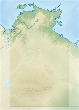 Mount Curdie Location in the Northern Territory | |
| Highest point | |
| Elevation | 958 m (3,143 ft)AHD |
| Coordinates | 25°3′S 129°25′E |
| Naming | |
| Etymology | Dr Daniel Curdie |
| Geography | |
| Location | Northern Territory, Australia |
| Parent range | Petermann Ranges |
| Climbing | |
| Easiest route | Hike |
Ernest Giles named Mount Curdie on 13 March 1874, during his first journey through the Petermann Ranges. He named it after Dr Daniel Curdie, a subscriber to Giles' fund for his expedition.[1] After climbing to the top of Mount Curdie, Giles also gave names to other peaks in the Petermann Ranges, including Mounts Fagan and Miller further to the east.[2]
See also
- List of mountains of the Northern Territory
References
- "Curdie Range". Northern Territory Place Names Register. Government of the Northern Territory. Retrieved 8 April 2013.
- Giles, Ernest (2004). Australia Twice Traversed. Whitefish, United States: Kessinger Publishing. p. 206. ISBN 9781419108327.
This Australian geography article is a stub. You can help Wikipedia by expanding it. |
Другой контент может иметь иную лицензию. Перед использованием материалов сайта WikiSort.org внимательно изучите правила лицензирования конкретных элементов наполнения сайта.
WikiSort.org - проект по пересортировке и дополнению контента Википедии