geo.wikisort.org - Mountains
Mount Bates is the highest point of Norfolk Island, an external territory of Australia, at 319 metres (1,047 ft) above sea level.
| Mount Bates | |
|---|---|
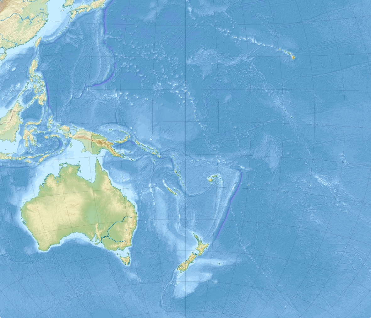 Mount Bates Location of Norfolk Island and Mount Bates on a map of Oceania | |
| Highest point | |
| Elevation | 319 m (1,047 ft) |
| Prominence | 319 m (1,047 ft) |
| Coordinates | 29°01′06″S 167°56′08″E |
| Geography | |
| Location | Norfolk Island |
| Climbing | |
| Easiest route | South Side |
External links
- (in English) "Mount Bates Norfolk Island". Peakbagger.com.
This Norfolk Island location article is a stub. You can help Wikipedia by expanding it. |
This Australia mountain, mountain range, or peak related article is a stub. You can help Wikipedia by expanding it. |
На других языках
[de] Mount Bates (Norfolkinsel)
Der Mount Bates ist mit 319 m die höchste Erhebung der östlich von Australien im Pazifik gelegenen Norfolkinsel einschließlich ihrer beiden unbewohnten Nebeninseln Nepean Island und Phillip Island.[1][2]- [en] Mount Bates
[fr] Mont Bates
Le mont Bates est un ancien volcan et le point culminant de l'île Norfolk (Australie).[ru] Бейтс (гора)
Бейтс (англ. Mount Bates) — гора на острове Норфолк, внешней территории Австралии[1]. Является самой высокой точкой на острове[2].Текст в блоке "Читать" взят с сайта "Википедия" и доступен по лицензии Creative Commons Attribution-ShareAlike; в отдельных случаях могут действовать дополнительные условия.
Другой контент может иметь иную лицензию. Перед использованием материалов сайта WikiSort.org внимательно изучите правила лицензирования конкретных элементов наполнения сайта.
Другой контент может иметь иную лицензию. Перед использованием материалов сайта WikiSort.org внимательно изучите правила лицензирования конкретных элементов наполнения сайта.
2019-2026
WikiSort.org - проект по пересортировке и дополнению контента Википедии
WikiSort.org - проект по пересортировке и дополнению контента Википедии