geo.wikisort.org - Mountains
Mount Banping (Chinese: 半屏山; pinyin: Bànpíng Shān) is a mountain in Nanzih District, Kaohsiung, Taiwan.
| Mount Banping | |
|---|---|
| 半屏山 | |
 | |
| Highest point | |
| Elevation | 220 m (720 ft) |
| Coordinates | 22°41′56.3″N 120°18′40.1″E |
| Geography | |
| Location | Nanzih, Kaohsiung, Taiwan |
Name
The name Banping means half screen, named so because of the mountain steep side resembles a painted screen.[1]
History
During the Qing Dynasty rule of Taiwan, the mountain was the site of the most important limestone quarry in Taiwan. After the quarry was closed in 1997, the mountain was turned into a nature park. Vegetation is used for its slope protection and the old cement plant's grit removal pond was transformed into Banping Lake Wetland Park in the neighboring Zuoying District.
Attractions
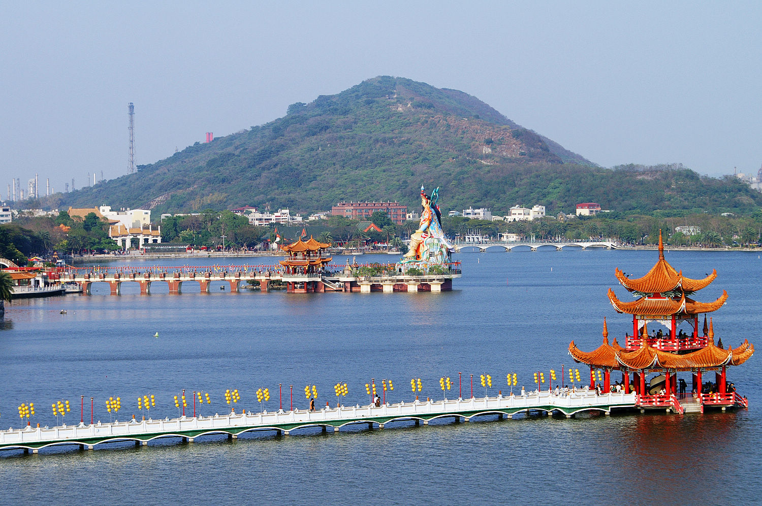
Visitors can hike the mountain via its wooden walkway to enjoy the panoramic views of Kaohsiung from the top of the mountain, which includes Lotus Pond, Zuoying District, Port of Zuoying, Niaosong District and Yancheng District.[2]
Transportation
The mountain is accessible within walking distance north of Xinzuoying Station.[1]
See also
- List of tourist attractions in Taiwan
- List of mountains in Taiwan
References
- "Banpingshan". National Nature Park. 9 October 2018. Retrieved 16 February 2022.
- Buchan, Noah (30 August 2019). "Group touring Teapot Mountain". Taipei Times. Retrieved 19 January 2021.
На других языках
[de] Banpingshan
Der Banpingshan (chinesisch .mw-parser-output .Hani{font-size:110%}半屏山, Pinyin Bànpíng Shān, Pe̍h-ōe-jī Poàⁿ-pêng-soaⁿ) ist ein Berg in der südtaiwanischen Stadt Kaohsiung.- [en] Mount Banping
Другой контент может иметь иную лицензию. Перед использованием материалов сайта WikiSort.org внимательно изучите правила лицензирования конкретных элементов наполнения сайта.
WikiSort.org - проект по пересортировке и дополнению контента Википедии