geo.wikisort.org - Mountains
Mount Allison is a peak of the Diablo Range, located in the East Bay southeast of Fremont, California.
| Mount Allison | |
|---|---|
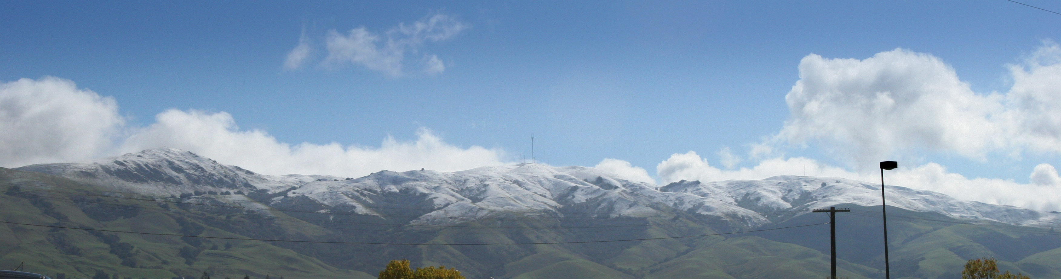 Mission Peak (L), Mount Allison (C) and Monument Peak (R) after a fairly deep snowfall in March 2006. | |
| Highest point | |
| Elevation | 2,664 ft (812 m) NAVD 88[1] |
| Coordinates | 37°29′56″N 121°52′17″W[1] |
| Geography | |
 Mount Allison Alameda County, California, U.S. | |
| Parent range | Diablo Range |
| Topo map | USGS Calaveras Reservoir |
Geography
Mount Allison is part of a ridge that also includes Mission Peak and Monument Peak. Unlike those other two peaks, Mount Allison is located on unincorporated private property owned by a broadcasting company.[2]
Broadcasting antennas
Owned by Communication and Control, Inc. (CCI), a large free-standing broadcasting antenna on Mount Allison broadcasts two Spanish channels, channel 14 (Univision KDTV) and channel 48 (Telemundo KSTS). Erected on February 25, 1998, the antenna is 443 feet (135 m) high and has three prongs at the top. Several smaller towers and dishes are also present.[3]
KTSF has relocated its transmitters to Mount Allison on May 7, 2018, previously located atop San Bruno Mountain. KTLN-TV and KAXT-CD relocated their transmitters to Mount Allison on June 1, 2018, previously located atop Mount Burdell.
Gallery
 Mount Allison seen from Mission Peak
 Mission Peak (left) and Mount Allison
 Mount Allison looking from East


References
- "2659=Allison". NGS data sheet. U.S. National Geodetic Survey. Retrieved 2009-08-05.
- "Mount Allison". SummitPost.org. Retrieved 2011-05-07.
- "Antenna Structure Registration 607495". Federal Communications Commission. Retrieved 2009-08-05.
External links
- "Communication and Control, Inc. (CCI)". Retrieved 2011-05-08.
- "Mount Allison". Geographic Names Information System. United States Geological Survey. Retrieved 2009-08-05.
- "Mount Allison, California". Peakbagger.com. Retrieved 2009-08-05.
This Alameda County, California–related article is a stub. You can help Wikipedia by expanding it. |
Другой контент может иметь иную лицензию. Перед использованием материалов сайта WikiSort.org внимательно изучите правила лицензирования конкретных элементов наполнения сайта.
WikiSort.org - проект по пересортировке и дополнению контента Википедии