geo.wikisort.org - Mountains
Montmeneu (Catalan pronunciation: [mumːəˈnew]) or Punta de Montmaneu is a mountain in Catalonia, Spain. It is located within the La Granja d'Escarp and Seròs municipal limits, Segrià.
| Montmeneu | |
|---|---|
 | |
| Highest point | |
| Elevation | 494.63 m (1,622.8 ft) |
| Prominence | 207 m (679 ft) |
| Isolation | 12.84 km (7.98 mi) to Puntal dels Escambrons |
| Coordinates | 41°23′19″N 0°24′05″E |
| Geography | |
 Montmeneu Catalonia, Spain | |
| Location | Segrià, Catalonia |
| Parent range | Isolated hill in the Catalan Central Depression |
| Geology | |
| Mountain type | Conglomerate |
| Climbing | |
| First ascent | Unknown |
| Easiest route | From La Granja d'Escarp, Seròs or Maials |
Geography
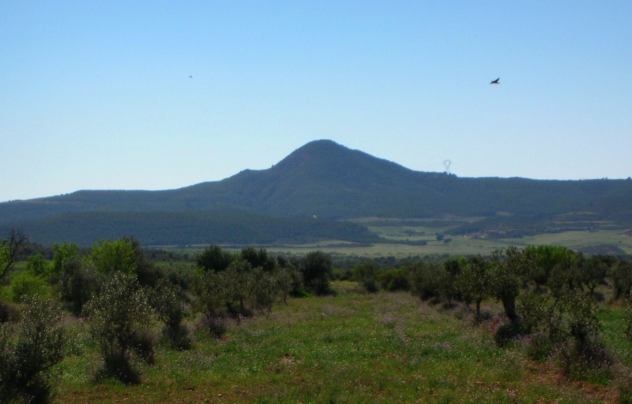
Montmeneu is an isolated hill of the Catalan Central Depression.[1] Since it is surrounded by flat landscape the mountain is visible over long distances.
There is a triangulation station at the top marked "247126001". Although it is not the highest hill in the region —the Puntal dels Escambrons is 5 m higher— the top offers extensive views of the surrounding landscape.[2]
This mountain is one of the Emblematic summits of Catalonia.[3]
See also
- Mountains of Catalonia
References
- "Mapa Topogràfic de Catalunya". Institut Cartogràfic de Catalunya. Retrieved May 22, 2010.
- Cims comarcals: Segrià. Montmeneu
- Llista 100 cims - Institut Cartogràfic i Geològic de Catalunya
External links
- Map Segrià, ICC 1:50.000
- Wikiloc - Montmeneu hiking route
This article about a location in Catalonia is a stub. You can help Wikipedia by expanding it. |
Текст в блоке "Читать" взят с сайта "Википедия" и доступен по лицензии Creative Commons Attribution-ShareAlike; в отдельных случаях могут действовать дополнительные условия.
Другой контент может иметь иную лицензию. Перед использованием материалов сайта WikiSort.org внимательно изучите правила лицензирования конкретных элементов наполнения сайта.
Другой контент может иметь иную лицензию. Перед использованием материалов сайта WikiSort.org внимательно изучите правила лицензирования конкретных элементов наполнения сайта.
2019-2026
WikiSort.org - проект по пересортировке и дополнению контента Википедии
WikiSort.org - проект по пересортировке и дополнению контента Википедии