geo.wikisort.org - Mountains
Monte Tagliaferro is a mountain of the Pennine Alps. It is one of the most popular hiking destination of Valsesia.
| Monte Tagliaferro | |
|---|---|
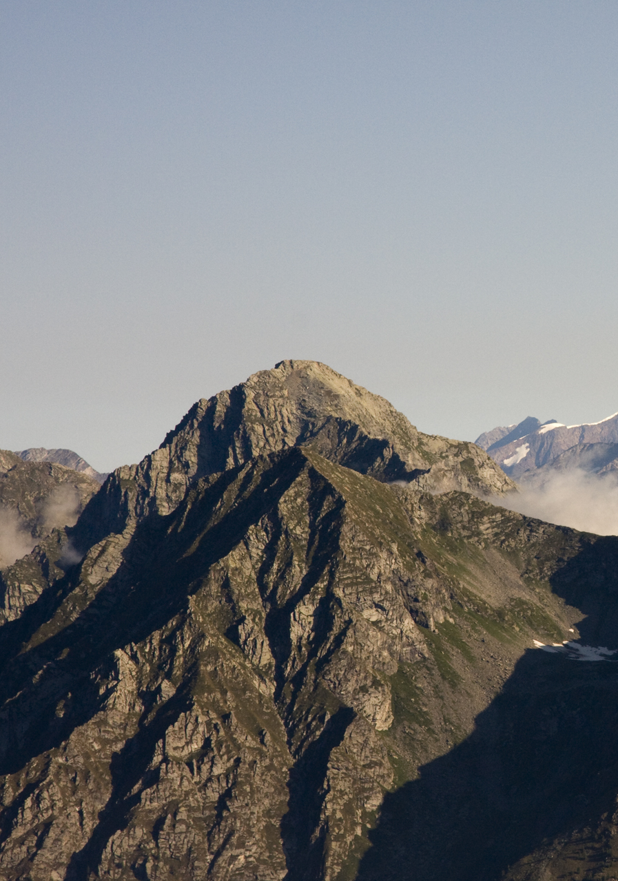
 NW face | |
| Highest point | |
| Elevation | 2,964 m (9,724 ft)[1] |
| Prominence | 637 m (2,090 ft)[1][2] |
| Isolation | 4.16 km (2.58 mi) |
| Listing | Alpine mountains 2500-2999 m |
| Coordinates | 45°52′20″N 07°58′13″E |
| Geography | |
 Monte Tagliaferro Location in the Alps | |
| Location | Province of Vercelli, northern Italy |
| Parent range | Pennine Alps |
| Climbing | |
| Easiest route | from Rima San Giuseppe |
Etymology
The name, which literally means iron cutting, may come from a sharp stone block located not far away from the top.
Geography
The mountain is located in Valsesia (VC, Piemonte region). Administratively it is divided between the comunes of Alagna Valsesia and Alto Sermenza.
SOIUSA classification
According to the SOIUSA (International Standardized Mountain Subdivision of the Alps) the mountain can be classified in the following way:[3]
- main part = Western Alps
- major sector = North Western Alps
- section = Pennine Alps
- subsection = Eastern Aosta and Northern Valsesia Alps
- supergroup = Contrafforti valsesiani del Monte Rosa
- group = Costiera Punta Grober-Tagliaferro-Montevecchio
- subgroup = Costiera del Tagliaferro
- sector of subgroup = Contrafforte Piglimò-Tagliaferro
- code = I/B-9.III-C.7.b/a
Access to the summit
The easiest route for the summit starts from Rima San Giuseppe and reaches the summit passing through Vallarolo pass (2,332 m).[4] Nearby the mountain, at 2,264 m, is located Rifugio Ferioli, a public mountain hut.
Maps
- Italian official cartography (Istituto Geografico Militare - IGM); on-line version: www.pcn.minambiente.it
- Istituto Geografico Centrale - Carta dei sentieri e dei rifugi scala 1:50.000 n. 10 Monte Rosa, Alagna e Macugnaga
Notes
- Geoportale IGM on www.pcn.minambiente.it
- key col: Colle Mud (2,327 m)
- Marazzi, Sergio (2005). Atlante Orografico delle Alpi. SOIUSA (in Italian). Priuli & Verlucca. p. 134. ISBN 978-88-8068-273-8.
- Monte Tagliaferro - 2964 m, www.vienormali.it (access: 7-3-2012)
На других языках
- [en] Monte Tagliaferro
[it] Monte Tagliaferro
Il Monte Tagliaferro è una montagna delle Alpi Pennine alta 2 964 m, posta tra Alta Valsesia e Val Sermenza in provincia di Vercelli.Текст в блоке "Читать" взят с сайта "Википедия" и доступен по лицензии Creative Commons Attribution-ShareAlike; в отдельных случаях могут действовать дополнительные условия.
Другой контент может иметь иную лицензию. Перед использованием материалов сайта WikiSort.org внимательно изучите правила лицензирования конкретных элементов наполнения сайта.
Другой контент может иметь иную лицензию. Перед использованием материалов сайта WikiSort.org внимательно изучите правила лицензирования конкретных элементов наполнения сайта.
2019-2026
WikiSort.org - проект по пересортировке и дополнению контента Википедии
WikiSort.org - проект по пересортировке и дополнению контента Википедии