geo.wikisort.org - Mountains
Monte Falterona is a mountain in the Tuscan-Romagnolo Apeninnes, in the Casentino traditional region, standing at 1,654 m. It is part of the Casentino forests, Monte Falterona and Campigna National Park. The peak is crossed by the borders of the provinces of Florence, Arezzo and Forlì-Cesena. The mountain, mostly composed of sandstone, is covered by beeches and, from one of its sides, the Arno River springs (Italian: Capo d'Arno).
| Monte Falterona | |
|---|---|
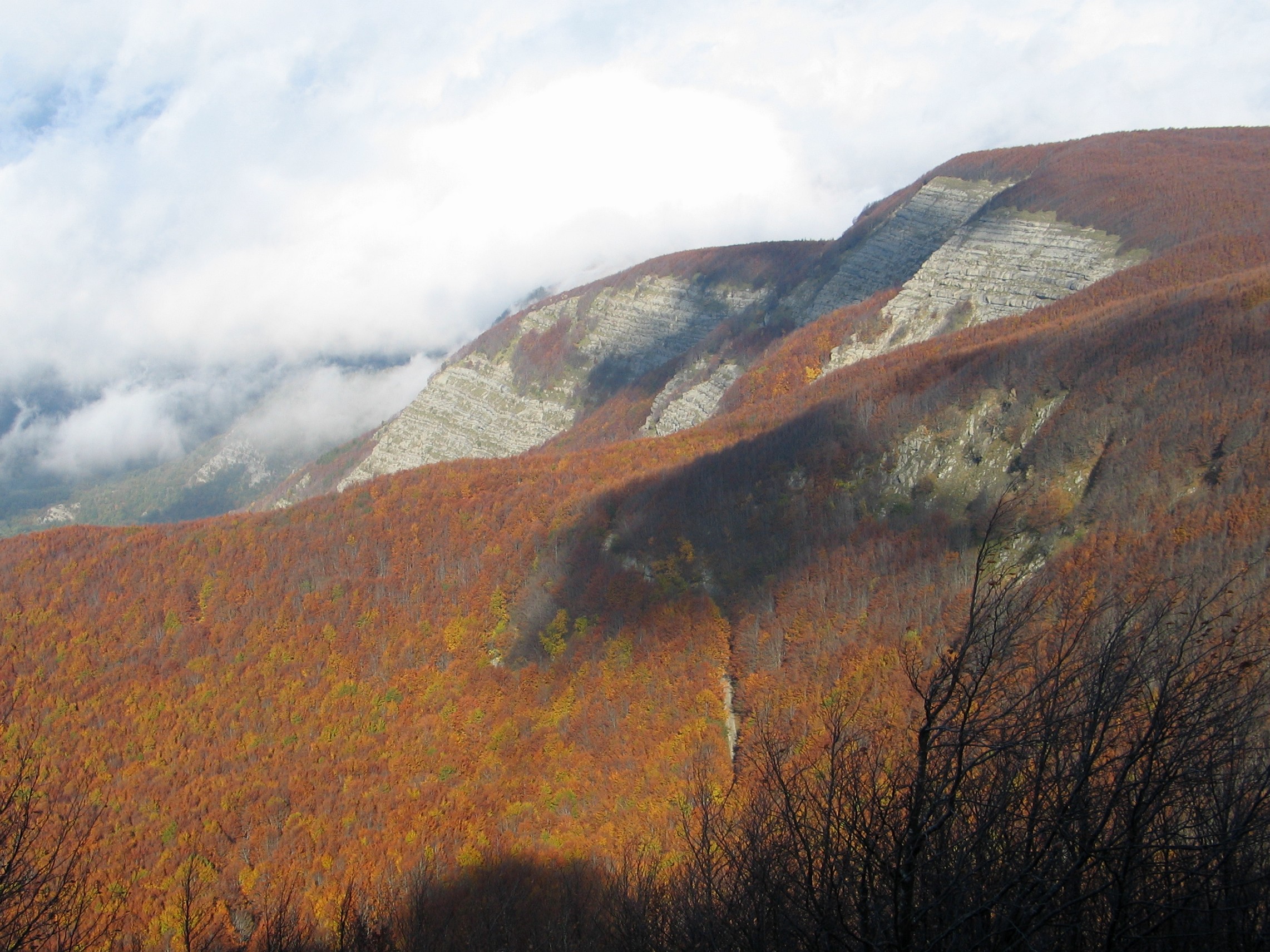 View of Monte Falterona from the summit of Monte Falco | |
| Highest point | |
| Elevation | 1,654 m (5,427 ft) |
| Prominence | 54 m (177 ft) |
| Isolation | 1.1 km (0.68 mi) |
| Coordinates | 43°52′N 11°42′E |
| Geography | |
 Monte Falterona Tuscany, Italy | |
| Parent range | Tuscan-Emilian Apennines, a branch of the Northern Apennines. |
On the east is a grassy depression with the relic of an ancient lake known as the Lago degli Idoli. The lake has been important from an archaeological perspective as numerous Etruscan statuettes have been found, now distributed across a number of Western museums, including the Louvre, Hermitage and British Museum.[1]
References
Authority control | |
|---|---|
| General |
|
| National libraries | |
На других языках
- [en] Monte Falterona
[fr] Mont Falterona
Le mont Falterona est une montagne des Apennins, lieu d'excursion qui, au même titre que le proche mont Falco, est un des lieux les plus intéressants du Casentino.[it] Monte Falterona
Il monte Falterona (1654 m s.l.m.) è la seconda cima più elevata dell'Appennino tosco-romagnolo, dopo il vicino monte Falco (1658 m s.l.m.)Другой контент может иметь иную лицензию. Перед использованием материалов сайта WikiSort.org внимательно изучите правила лицензирования конкретных элементов наполнения сайта.
WikiSort.org - проект по пересортировке и дополнению контента Википедии