geo.wikisort.org - Mountains
Mont Noir (Zwarte Berg in Dutch[1]) is a 152 metres (499 ft) high hill located on the French-Belgian border, a few kilometres from Bailleul. It takes its name from the presence of a high concentration of black pine woodland, which covers the hillside.
This article needs additional citations for verification. (August 2014) |
This article may be expanded with text translated from the corresponding article in French. (July 2014) Click [show] for important translation instructions.
|
| Mont Noir | |
|---|---|
| Zwarte Berg | |
 Mont Noir 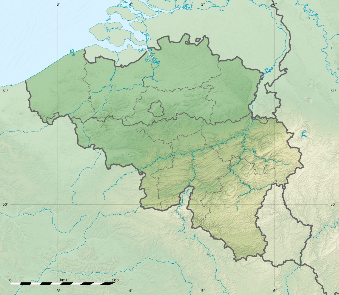 Mont Noir | |
| Highest point | |
| Elevation | 152 m (499 ft) |
| Coordinates | 50.7792°N 2.7336°E |
| Geology | |
| Age of rock | Eocene |
Location
Three municipalities share Mont Noir; Saint-Jans-Cappel and Boeschepe, both in France, and Westouter in Belgium. The summit is located entirely in France.
References
External links
This Nord geographical article is a stub. You can help Wikipedia by expanding it. |
This article related to geography of France is a stub. You can help Wikipedia by expanding it. |
This Belgium-related article is a stub. You can help Wikipedia by expanding it. |
На других языках
- [en] Mont Noir
[fr] Mont Noir
Le mont Noir (Zwarteberg en flamand[2]) est une colline culminant à 152 m d'altitude dans les monts des Flandres à quelques centaines de mètres de la frontière franco-belge et à quelques kilomètres de Bailleul. Il tire son nom de la présence d'une forte concentration du pin noir dans le bois qui couvre ce relief. Le mont est à la frontière entre la Belgique et la France et dépend de la commune de Saint-Jans-Cappel.Текст в блоке "Читать" взят с сайта "Википедия" и доступен по лицензии Creative Commons Attribution-ShareAlike; в отдельных случаях могут действовать дополнительные условия.
Другой контент может иметь иную лицензию. Перед использованием материалов сайта WikiSort.org внимательно изучите правила лицензирования конкретных элементов наполнения сайта.
Другой контент может иметь иную лицензию. Перед использованием материалов сайта WikiSort.org внимательно изучите правила лицензирования конкретных элементов наполнения сайта.
2019-2026
WikiSort.org - проект по пересортировке и дополнению контента Википедии
WikiSort.org - проект по пересортировке и дополнению контента Википедии