geo.wikisort.org - Mountains
Mont Brulé (also known as Mont Brûlé or Mont Braoulé) is a mountain of the Pennine Alps, located on the Swiss-Italian border, east of the Col Collon. On its northern side it overlooks the upper Arolla Glacier.
| Mont Brulé | |
|---|---|
| Mont Braoulé | |
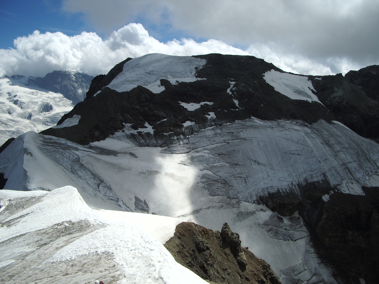 The west side | |
| Highest point | |
| Elevation | 3,578 m (11,739 ft)[1] |
| Prominence | 365 m (1,198 ft)[2] |
| Isolation | 2.33 km (1.45 mi) |
| Listing | Alpine mountains above 3000 m |
| Coordinates | 45°57′18.8″N 7°32′18.1″E |
| Geography | |
 Mont Brulé Location in the Alps | |
| Location | Valais, Switzerland/Aosta Valley, Italy |
| Parent range | Pennine Alps |
| Climbing | |
| First ascent | 7 August 1876 by Arthur Cust and guide. |
Toponym
Though in French this name means "burnt mountain", this toponym comes from Valdôtain Francoprovençal patois. According to Aostan botanist and scientist Joseph-Marie Henry,[3] the word Broillà means "made of breuils", Breuil meaning alpine marshy berm, as for Breuil in Valtournenche.
References
- "Mont Brulé - Skitour". skitour.fr. Retrieved 14 May 2020.
- Swisstopo map
- Eau, acqua, éve - entre littérature, science et histoire, éd. Duc, Saint-Christophe, p. 96.
External links
This article about a mountain, mountain range, or peak located in Valais is a stub. You can help Wikipedia by expanding it. |
This article about a mountain, mountain range, or peak located in Aosta Valley is a stub. You can help Wikipedia by expanding it. |
На других языках
[de] Mont Brûlé
Mont Brûlé ist ein 3578 m ü. M. hoher Berg der Walliser Alpen (Westalpen) in der Schweiz an der Italienisch-schweizerischen Grenze (Aostatal in Italien und Kanton Wallis in der Schweiz).- [en] Mont Brulé
[it] Monte Brulé
Il mont Brulé (3.538 m s.l.m. - anche mont Brûlé o mont Braoulé) è una vetta delle Alpi Pennine che si trova lungo la linea di confine tra l'Italia e la Svizzera.Текст в блоке "Читать" взят с сайта "Википедия" и доступен по лицензии Creative Commons Attribution-ShareAlike; в отдельных случаях могут действовать дополнительные условия.
Другой контент может иметь иную лицензию. Перед использованием материалов сайта WikiSort.org внимательно изучите правила лицензирования конкретных элементов наполнения сайта.
Другой контент может иметь иную лицензию. Перед использованием материалов сайта WikiSort.org внимательно изучите правила лицензирования конкретных элементов наполнения сайта.
2019-2026
WikiSort.org - проект по пересортировке и дополнению контента Википедии
WikiSort.org - проект по пересортировке и дополнению контента Википедии