geo.wikisort.org - Mountains
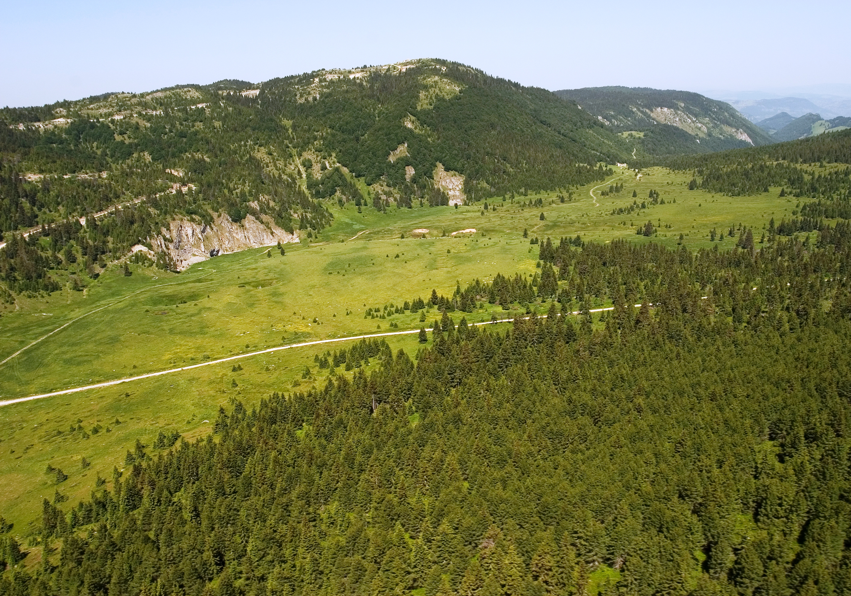
Mokra Gora (Serbian Cyrillic: Мокра Гора, lit. ''Wet Mountain'', pronounced [môkraː ɡǒra]; Albanian: Malet e Moknës is a mountain on the border between Serbia, Kosovo[a] and Montenegro. It is part of the Accursed Mountains range. It has two peaks higher than 2,000 m (6,562 ft). The highest is Pogled at 2,156 m (7,073 ft), and the other is Beleg at 2,142 m (7,028 ft). The Pogled peak is shared between Serbia and Kosovo, while Beleg is on the tripoint. The peak Berim is also part of this mountain.[2] In Kosovo, the town of Istog lies just south of the mountain on the Metohija plain, which borders the mountain to the south.
| Mokra Gora | |
|---|---|
| Мокра Гора | |
 | |
| Highest point | |
| Elevation | 2,156 m (7,073 ft)[1] |
| Coordinates | 42°49′56″N 20°21′49″E |
| Geography | |
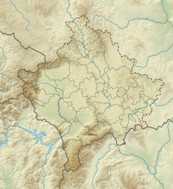 Mokra Gora Location in Kosovo | |
| Location | Serbia, Kosovo, Montenegro |
Notes and references
Notes:
| a. | ^ The political status of Kosovo is disputed. Having unilaterally declared independence from Serbia in 2008, Kosovo is formally recognised as an independent state by 100 UN member states (with another 13 states recognising it at some point but then withdrawing their recognition) and 93 states not recognizing it, while Serbia continues to claim it as part of its own sovereign territory. |
References:
- Jovan Đokić. "Katalog planina Srbije". PSD Kopaonik Beograd. Archived from the original on 2011-05-18.
- "Ibarski Kolašin - Mokra Gora". www.ibarski-kolasin.org. Retrieved 2017-07-14.
This Kosovo location article is a stub. You can help Wikipedia by expanding it. |
This Montenegro location article is a stub. You can help Wikipedia by expanding it. |
На других языках
[de] Mokra Gora (Gebirge)
Die Mokra Gora (kyrillisch Мокра Гора, albanisch Mali i Moknës) ist eine Gebirgskette in Südwestserbien, Nordwestkosovo und Ostmontenegro. Sie markiert auf einer Länge von etwa 20 Kilometern die Grenze zwischen Serbien und Kosovo und wird im weiteren Sinne zum Prokletije gerechnet.- [en] Mokra Gora (mountain)
[fr] Mokra Gora (montagne)
La Mokra Gora (prononcé [môkraː ɡǒra] ; en serbe : Мокра гора, littéralement « montagne humide » ; en albanais : Mokna/Mokragorë) est une montagne située dans l'Ouest du Kosovo, l'Est du Monténégro, et le Sud-Ouest de la Serbie. Elle fait partie du massif montagneux de Prokletije. Elle comporte deux sommets de plus de 2 000 mètres d'altitude.Другой контент может иметь иную лицензию. Перед использованием материалов сайта WikiSort.org внимательно изучите правила лицензирования конкретных элементов наполнения сайта.
WikiSort.org - проект по пересортировке и дополнению контента Википедии