geo.wikisort.org - Mountains
Moelfre Isaf is a 317 m (1,040 ft) hill located to the south of the town of Abergele. There are views towards the Clwydian Range, Snowdonia, and the Isle of Man and the Cumbrian Mountains can be seen on a clear day. Nearby is the small settlement of Moelfre, Conwy. Almost opposite is the higher hill of Moelfre Uchaf.
| Moelfre Isaf | |
|---|---|
 Moelfre Isaf from Pentre Mawr park, Abergele | |
| Highest point | |
| Elevation | 317 m (1,040 ft) |
| Prominence | 121 m (397 ft) |
| Listing | HuMP |
| Coordinates | 53°14′47″N 3°34′25″W |
| Geography | |
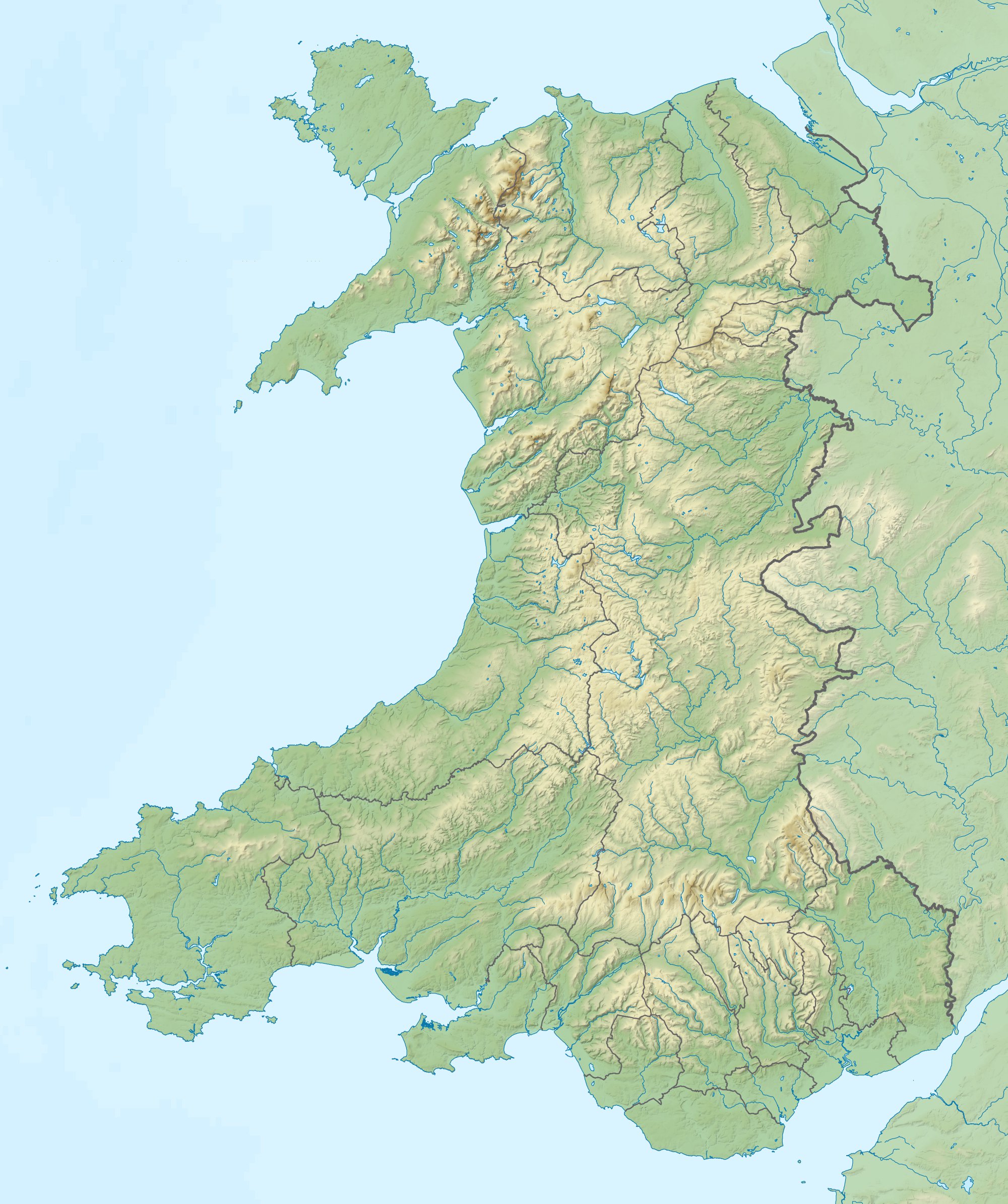 Moelfre Isaf Conwy, Wales | |
| OS grid | SH951733 |
| Topo map | OS Landranger 116 |
External links
This Conwy County Borough location article is a stub. You can help Wikipedia by expanding it. |
Текст в блоке "Читать" взят с сайта "Википедия" и доступен по лицензии Creative Commons Attribution-ShareAlike; в отдельных случаях могут действовать дополнительные условия.
Другой контент может иметь иную лицензию. Перед использованием материалов сайта WikiSort.org внимательно изучите правила лицензирования конкретных элементов наполнения сайта.
Другой контент может иметь иную лицензию. Перед использованием материалов сайта WikiSort.org внимательно изучите правила лицензирования конкретных элементов наполнения сайта.
2019-2025
WikiSort.org - проект по пересортировке и дополнению контента Википедии
WikiSort.org - проект по пересортировке и дополнению контента Википедии