geo.wikisort.org - Mountains
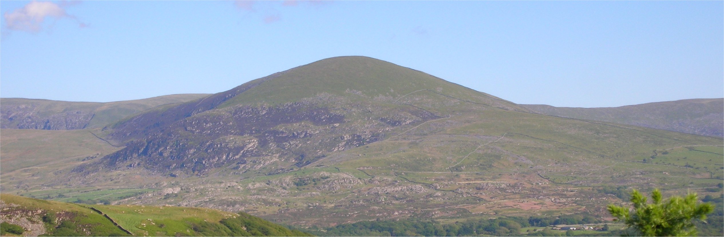
Moelfre is a hill in Wales on the far western edge of the Snowdonia National Park, 3 miles (4.8 km) from the village of Dyffryn Ardudwy, 5 miles (8.0 km) from the village of Llanbedr and about 10 miles (16 km) from the town of Harlech. It forms part of the Rhinogydd range. Moelfre reaches a height of 589 metres (1,932 ft).
| Moelfre | |
|---|---|
 | |
| Highest point | |
| Elevation | 589 m (1,932 ft)[1] |
| Prominence | 162 m |
| Parent peak | Y Llethr |
| Listing | Marilyn, Dewey |
| Coordinates | 52°48′05″N 4°02′21″W[1] |
| Geography | |
| Location | Gwynedd, Wales |
| Parent range | Rhinogydd, Snowdonia |
| OS grid | SH 62623 24592 |
| Topo map | OS Landranger 124 |
Moelfre is a prominent peak that separates Cwm Nantcol from Ysgethin Valley.[2] Moelfre is also known for a legend of three women who worked on the sabbath and were turned into standing stones.[3]
References
- "Database of British and Irish Hills". November 2011. version 12.
- Gillham, John (2010). "Mountains of Snowdonia". Frances Lincoln Ltd. p. 297.
{{cite web}}: Missing or empty|url=(help) - Sikes, Wirt (1881). British goblins: Welsh folk lore, fairy mythology, legends and traditions. J. R. Osgood and company. p. 376.
This Gwynedd location article is a stub. You can help Wikipedia by expanding it. |
Текст в блоке "Читать" взят с сайта "Википедия" и доступен по лицензии Creative Commons Attribution-ShareAlike; в отдельных случаях могут действовать дополнительные условия.
Другой контент может иметь иную лицензию. Перед использованием материалов сайта WikiSort.org внимательно изучите правила лицензирования конкретных элементов наполнения сайта.
Другой контент может иметь иную лицензию. Перед использованием материалов сайта WikiSort.org внимательно изучите правила лицензирования конкретных элементов наполнения сайта.
2019-2026
WikiSort.org - проект по пересортировке и дополнению контента Википедии
WikiSort.org - проект по пересортировке и дополнению контента Википедии