geo.wikisort.org - Mountains
Moel Sych (pronounced [ˈmɔil ˈsɨːx]) with a height of 826.7 metres (2,712 ft) is a subsidiary summit of Cadair Berwyn in north east Wales. It is the third highest summit in the Berwyn range after Cadair Berwyn and Cadair Berwyn North Top.[1]
| Moel Sych | |
|---|---|
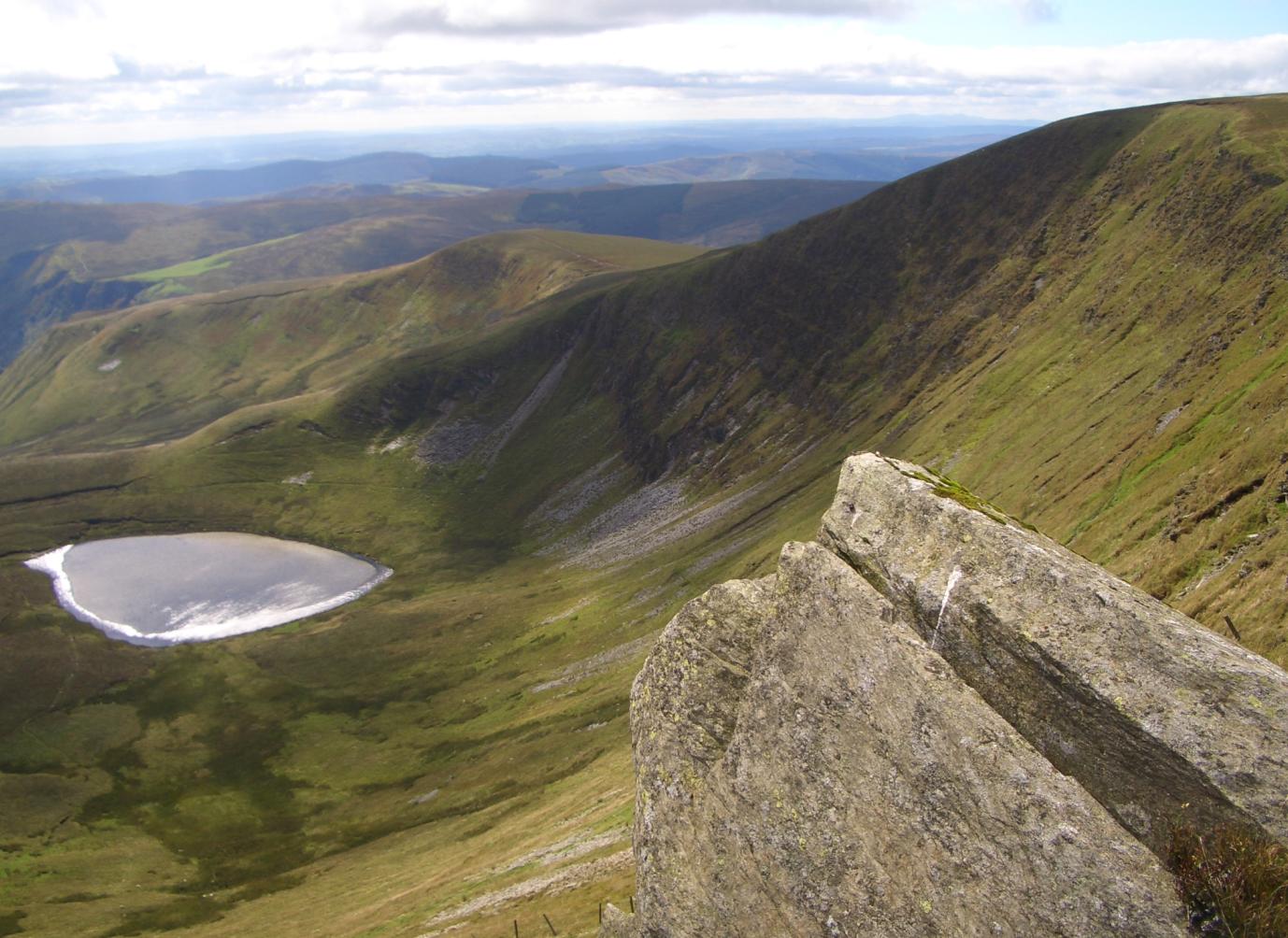 Moel Sych and Llyn Lluncaws | |
| Highest point | |
| Elevation | 826.7 m (2,712 ft) |
| Prominence | 33.9 m (111 ft) |
| Listing | Hewitt, Nuttall |
| Coordinates | 52°52′34″N 3°23′19″W |
| Naming | |
| English translation | dry hill |
| Language of name | Welsh |
| Geography | |
| Location | Denbighshire / Powys, Wales |
| Parent range | Berwyn range |
| OS grid | SJ071323 |
| Topo map | OS Landranger 125 |
The summit lies at the triple historic county boundary point of Montgomeryshire, Denbighshire and Merionethshire. It is the highest point (historic county top) of Montgomeryshire.
The summit was often considered to be the highest summit in the Berwyns (and therefore the county top of Denbighshire as well as Montgomeryshire) until the Cadair Berwyn North Top, then known as Cadair Berwyn was found to be of the same height. Later on the OS discovered a new top in between the two, which was 5m higher at 832m. This top, now known as Cadair Berwyn, is listed as Cadair Berwyn New Top on the Nuttall list.
The summit has a cairn, and overlooks Llyn Lluncaws in the southern Cwm.[2]
References
- OS. "Moel Sych location". Retrieved 6 March 2015.
- Nuttall, John & Anne (1999). The Mountains of England & Wales - Volume 1: Wales (2nd edition ed.). Milnthorpe, Cumbria: Cicerone. ISBN 1-85284-304-7.
External links
Другой контент может иметь иную лицензию. Перед использованием материалов сайта WikiSort.org внимательно изучите правила лицензирования конкретных элементов наполнения сайта.
WikiSort.org - проект по пересортировке и дополнению контента Википедии