geo.wikisort.org - Mountains
Moel Fferna is a mountain in Denbighshire, Wales and forms part of the Berwyn range. It is the most northern outpost of the range. The summit is covered in deep heather and has a shelter cairn.
| Moel Fferna | |
|---|---|
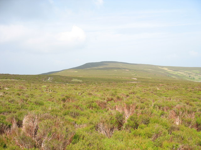 Moel Fferna from Vivod Mountain. | |
| Highest point | |
| Elevation | 630 m (2,070 ft) |
| Prominence | 105 m (344 ft) |
| Listing | Hewitt, Nuttall, HuMP |
| Coordinates | SJ116398 |
| Geography | |
| Location | Denbighshire / Wrexham, Wales |
| Parent range | Berwyn range |
| OS grid | SJ077346 |
| Topo map | OS Landranger 125 |
A trig point used to mark the summit, but has since been destroyed. To the south is Pen Bwlch Llandrillo, followed by Cadair Bronwen.[1] It is the highest peak in the Clwydian Range and Dee Valley Area of Outstanding Natural Beauty.
References
- Nuttall, John & Anne (1999). The Mountains of England & Wales - Volume 1: Wales (2nd edition ed.). Milnthorpe, Cumbria: Cicerone. ISBN 1-85284-304-7.
External links

This Denbighshire location article is a stub. You can help Wikipedia by expanding it. |
This Wrexham location article is a stub. You can help Wikipedia by expanding it. |
Текст в блоке "Читать" взят с сайта "Википедия" и доступен по лицензии Creative Commons Attribution-ShareAlike; в отдельных случаях могут действовать дополнительные условия.
Другой контент может иметь иную лицензию. Перед использованием материалов сайта WikiSort.org внимательно изучите правила лицензирования конкретных элементов наполнения сайта.
Другой контент может иметь иную лицензию. Перед использованием материалов сайта WikiSort.org внимательно изучите правила лицензирования конкретных элементов наполнения сайта.
2019-2026
WikiSort.org - проект по пересортировке и дополнению контента Википедии
WikiSort.org - проект по пересортировке и дополнению контента Википедии