geo.wikisort.org - Mountains
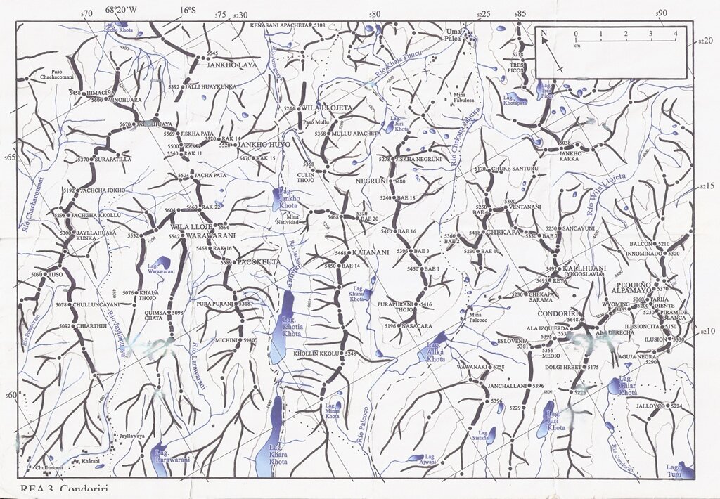
Mich'ini (Aymara mich'i bow,[2] -ni a suffix to indicate ownership, "the one with a bow", also spelled Michini) is a mountain in the Cordillera Real in the Andes of Bolivia, about 5,100 metres (16,732 ft) high. It lies in the La Paz Department, Los Andes Province, Batallas Municipality. Mich'ini is situated south-west of the mountains Wila Lluxi and Phaq'u Kiwuta, north-east of Tira K'ark'a and south-east of Kimsa Chata.[3][4]
| Mich'ini | |
|---|---|
 Mich'ini Location in Bolivia | |
| Highest point | |
| Elevation | 5,100 m (16,700 ft)[1] |
| Coordinates | 16°6′54″S 68°21′23″W |
| Geography | |
| Location | Bolivia, La Paz Department, Los Andes Province, Pucarani |
| Parent range | Andes, Cordillera Real |
See also
References
- "Cordillera Real". huayna-potosi.com. Retrieved September 8, 2014.
- Radio San Gabriel, "Instituto Radiofonico de Promoción Aymara" (IRPA) 1993, Republicado por Instituto de las Lenguas y Literaturas Andinas-Amazónicas (ILLLA-A) 2011, Transcripción del Vocabulario de la Lengua Aymara, P. Ludovico Bertonio 1612 (Spanish-Aymara-Aymara-Spanish dictionary)
- Bolivian IGM map 1.50,000 Lago Khara Kkota
- "Batallas". INE, Bolivia. Archived from the original on August 26, 2014. Retrieved September 8, 2014.
This La Paz Department geography article is a stub. You can help Wikipedia by expanding it. |
Текст в блоке "Читать" взят с сайта "Википедия" и доступен по лицензии Creative Commons Attribution-ShareAlike; в отдельных случаях могут действовать дополнительные условия.
Другой контент может иметь иную лицензию. Перед использованием материалов сайта WikiSort.org внимательно изучите правила лицензирования конкретных элементов наполнения сайта.
Другой контент может иметь иную лицензию. Перед использованием материалов сайта WikiSort.org внимательно изучите правила лицензирования конкретных элементов наполнения сайта.
2019-2026
WikiSort.org - проект по пересортировке и дополнению контента Википедии
WikiSort.org - проект по пересортировке и дополнению контента Википедии