geo.wikisort.org - Mountains
The Maïdo is a volcanic peak on the island of Réunion, located above the city of Saint Paul and overlooking the "Cirque de Mafate".
| Maïdo | |
|---|---|
 Piton Maïdo | |
| Highest point | |
| Elevation | 2,205 m (7,234 ft) |
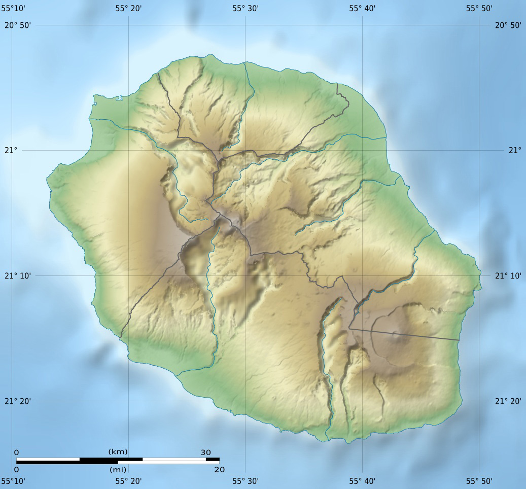
| Coordinates | 21°04′08″S 55°23′16″E |
| Naming | |
| Language of name | French |
| Geography | |
 Maïdo Réunion, Indian Ocean | |
The road climbing from Saint Paul to Maïdo goes through a forest of highland tamarin which is a popular area for family picnics.
Climatology
An internationally renowned climatological station, the Maïdo atmospheric observatory, has been operating there since 2012. It depends on the Observatory of atmospheric physics in Reunion Island (OPAR), University of La Reunion.[1]
References
External links
 Media related to Maïdo at Wikimedia Commons
- Aerial pictures of the Maïdo
This Réunion location article is a stub. You can help Wikipedia by expanding it. |
На других языках
- [en] Maïdo
[fr] Maïdo
Le piton Maïdo est un sommet montagneux de l'île de La Réunion, département d'outre-mer français dans le sud-ouest de l'océan Indien. Il culmine à environ 2 200 mètres d'altitude, est situé sur le territoire communal de Saint-Paul et domine le cirque naturel de Mafate.Текст в блоке "Читать" взят с сайта "Википедия" и доступен по лицензии Creative Commons Attribution-ShareAlike; в отдельных случаях могут действовать дополнительные условия.
Другой контент может иметь иную лицензию. Перед использованием материалов сайта WikiSort.org внимательно изучите правила лицензирования конкретных элементов наполнения сайта.
Другой контент может иметь иную лицензию. Перед использованием материалов сайта WikiSort.org внимательно изучите правила лицензирования конкретных элементов наполнения сайта.
2019-2026
WikiSort.org - проект по пересортировке и дополнению контента Википедии
WikiSort.org - проект по пересортировке и дополнению контента Википедии