geo.wikisort.org - Mountains
Matebian or Matebean is the third highest mountain in Timor Leste, after Ramelau (Tatamailau).
| Matebian | |
|---|---|
| Matebean | |
 | |
| Highest point | |
| Elevation | 2,316 m (7,598 ft)[1] |
| Coordinates | 8°38′26.16″S 126°35′48.84″E |
| Geography | |
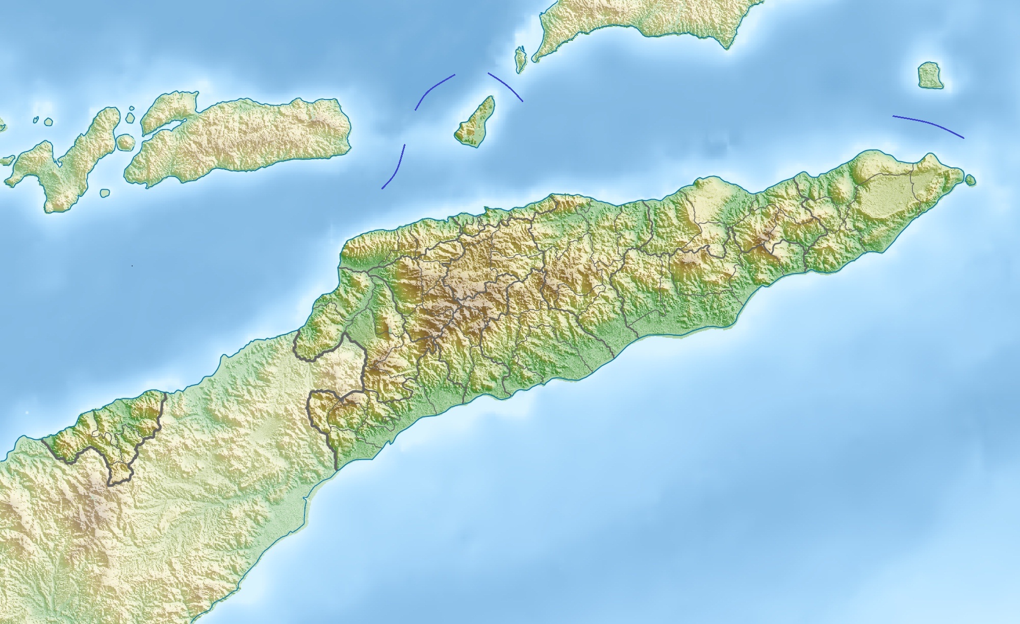 Matebian Location in East Timor | |
| Location | Baucau District, East Timor |
Geography
The mountain is located in Baucau District. With an elevation of 2,316 metres (7,598 ft) it is among the ultra-prominent peaks of the Malay archipelago.
At the peak is a statue of Christ.[2][3]
Gallery
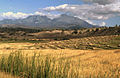 Harvested rice fields of Matebian, Timor-Leste
 View across the Seiçal River to Matebian Mountain, East Timor
 Matebian, East Timor


References
- Timor Leste: Politics, History, and Culture, Andrea Katalin Molnar, Routledge, 2009, Google books Retrieved 2015-12-24
- Matebean Mane, Climbing the Mountains of Indonesia. Retrieved 2014-04-11.
- Around Baucau Archived 2014-04-13 at the Wayback Machine, Lonely Planet. Retrieved 2014-04-11.
![]() Media related to Matebian at Wikimedia Commons
Media related to Matebian at Wikimedia Commons
This mountain, mountain range, or peak related article is a stub. You can help Wikipedia by expanding it. |
На других языках
[de] Matebian
Der Matebian (Mata Bia, Maté Bian, Mount Matebian, Gunung Boica, Gunung Mata Bia, Gunung Matabai, Meme Malabia, Malobu, 2376 m)[1] ist der zweithöchste Berg von Osttimor. Sein Name bedeutet „Berg der Seelen“ oder „Berg der Toten“. Der Berg gilt als heilig, da hier die Geister der Vorfahren leben sollen. Ein anderer Name für den Berg ist bei den Makasae „Bere (groß) Meta“ (schwarz).[2]- [en] Matebian
Текст в блоке "Читать" взят с сайта "Википедия" и доступен по лицензии Creative Commons Attribution-ShareAlike; в отдельных случаях могут действовать дополнительные условия.
Другой контент может иметь иную лицензию. Перед использованием материалов сайта WikiSort.org внимательно изучите правила лицензирования конкретных элементов наполнения сайта.
Другой контент может иметь иную лицензию. Перед использованием материалов сайта WikiSort.org внимательно изучите правила лицензирования конкретных элементов наполнения сайта.
2019-2026
WikiSort.org - проект по пересортировке и дополнению контента Википедии
WikiSort.org - проект по пересортировке и дополнению контента Википедии