geo.wikisort.org - Mountains
Magneetrots is a mountain in the Sipaliwini District of Suriname. It measures 310 metres.[1]
| Magneetrots | |
|---|---|
 Overhanging rock on the way to the top | |
| Highest point | |
| Elevation | 310 m (1,020 ft)[1] |
| Prominence | 130 m (430 ft) |
| Coordinates | 3.4625°N 55.274444°W |
| Geography | |
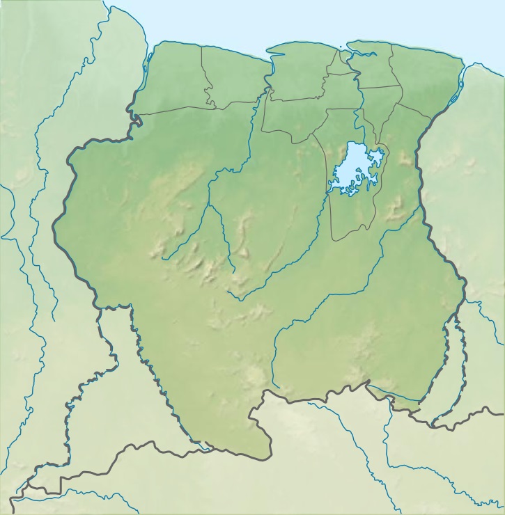 Magneetrots Location in Suriname | |
| Location | Sipaliwini District, Suriname |
| Climbing | |
| First ascent | 1904 |
History
The Magneetrots as well as the Tebutop, the Roseveltpiek, and the Kasikasima were first explored in 1904 during the Tapanahony expedition.[2][3]
On 16 August 1904, the expedition lead by Alphons Franssen Herderschee, made a first unsuccessful attempt at climbing the mountain.[4] On 19 August, they tried again. Magnetic disturbances were observed by several expedition members, and therefore the mountain was named Magneetrots (English: magnet rock). The first part of the climb was a gentle slope upwards with many overhanging rocks, however near the top, there was a steep wall.[5]
References
- "Magneetrots". Peak Visor. Retrieved 26 February 2021.
- J.B.Ch. Wekker (1983). HISTORIE, TECHNIEKEN EN MAATSCHAPPELIJKE ACHTERGRONDEN DER KARTERINGSWERKZAAMHEDEN IN SURINAME SINDS 1667 (PDF). Rijkscommissie voor Geodesie. p. 104. ISBN 9061322286.
- Bruijning, Voorhoeve & Gordijn 1977, p. 395.
- Herderschee 1905, p. 45.
- Herderschee 1905, p. 46.
Bibliography
- Herderschee, A. Franssen (1905). Verslag der Tapanahoni-expeditie (in Dutch). Brill Publishers.
- Bruijning, Conrad Friederich Albert; Voorhoeve, Jan; Gordijn, W. (1977). Encyclopedie van Suriname (in Dutch). Amsterdam: Elsevier. p. 395. ISBN 9010018423.
This Suriname location article is a stub. You can help Wikipedia by expanding it. |
Другой контент может иметь иную лицензию. Перед использованием материалов сайта WikiSort.org внимательно изучите правила лицензирования конкретных элементов наполнения сайта.
WikiSort.org - проект по пересортировке и дополнению контента Википедии