geo.wikisort.org - Mountains
Maanselkä or Maanselka[3][4] (Finnish: Maanselkä; Russian: Манселькя) is a hilly region in Finland and Russia. It is located at the northern end of the East European Plain, around the Arctic Circle.
| Maanselkä | |
|---|---|
| Maanselka / Манселькя | |
 Landscape of the hills near Kuoloyarvi.[1] | |
| Highest point | |
| Peak | Mount Sokusti |
| Elevation | 718 m (2,356 ft) |
| Dimensions | |
| Length | 750 km (470 mi) NNW/SSE |
| Width | 75 km (47 mi) WSW/ENE |
| Geography | |
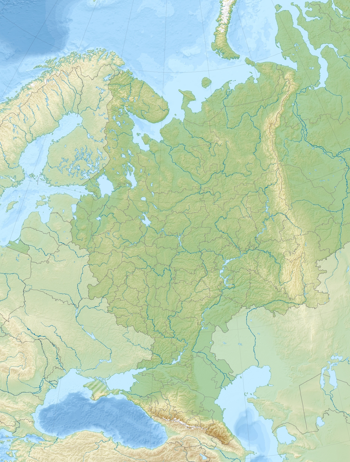 Location  Maanselkä (Finland) | |
| Location | North Ostrobothnia, Lapland, (Finland) Republic of Karelia Murmansk Oblast, (Russia) |
| Range coordinates | 67°40′N 29°30′E[2] |
| Parent range | East European Plain |
| Climbing | |
| Easiest route | From Alakurtti or Kemijarvi |
The Urho Kekkonen National Park, Oulanka National Park and Paanajärvi National Park are protected areas partly located in the Maanselkä hills. The main economic activities of the area are skiing, forestry, reindeer herding, hunting, as well as fishing in the lakes and rivers.[5]
Geography
Maanselkä is an extensive chain of smooth hills forming a watershed that separates the rivers flowing into the Baltic Sea from those flowing into the White Sea of the Arctic Ocean. It is located in northeastern Finland, in the eastern parts of North Ostrobothnia and Lapland, by the Russian border. In Russia the southern part of the range is in Karelia and the northern in Murmansk Oblast. To the northwest the drainage divide extends further into northern Norway.[2]
The hills are low and rounded. The highest point is Mt Sokusti, a 718 meters (2,356 ft) high summit in Saariselkä, on the Finnish side.[6] The highest point of Karelia, the 576 meters (1,890 ft) high Nuorunen, is located in the Russian side of the hill region.[7] There are many lakes in the intermontane basins, as well as rivers with poorly drained valleys and swampy forests. The highest elevations are treeless and barren, with some mountain tundra vegetation.[5]
Geologically Maanselkä is part of the central zone of the Baltic Shield. There are numerous traces of the erosional activity of ancient glaciers across the hills, such as lateral moraines and outwash plains.[5]
 |
 |
See also
- Highest points of Russian Federal subjects
- List of mountains and hills of Russia
References
- Painting by finnish painter Maija Kellokumpu (1892 - 1935)
- Google Earth
- A Gazetteer of the World, Volume 5, p. 12
- James Bell, A System of Geography, Popular and Scientific, Volume 1, p. 41
- "Манселькя". Great Soviet Encyclopedia.
- Full text of "Julkaisuja = Communicationes = Publications"
- Gora Nuorunen - Peak Visor
External links
 Media related to Maanselkä at Wikimedia Commons
- Studies on the vegetational history of the Kuusamo district (North East Finland) during the Late-quaternary period.
- Vuokrataanko tunturi Neuvostoliitosta? Kylmän sodan Kuusamossa heräsi ennakkoluuloton hanke - Suomalaiset halusivat vuokrata tunturin ja tehdä alueelle viisumivapaan matkailukohteen.
This Finland location article is a stub. You can help Wikipedia by expanding it. |
This Russian location article is a stub. You can help Wikipedia by expanding it. |
This Republic of Karelia location article is a stub. You can help Wikipedia by expanding it. |
This Murmansk Oblast location article is a stub. You can help Wikipedia by expanding it. |
На других языках
[de] Maanselkä
Der Maanselkä (finnisch für „Landrücken“) ist ein 750 km langer und ca. 75 km breiter Höhenzug im Nordosten Finnlands. Es erstreckt sich entlang der finnischen Grenze mit Russland (Oblast Murmansk im Norden, Republik Karelien im Süden). Der Rücken ist etwa 300 Meter hoch, mit Gipfeln um 400 Meter, und verflacht sich nach Süden auf 200 Meter, weist aber einzelne über 600 Meter hohe Kuppen auf (Sorsatunturi im Norden 628 m, Sokuski 714 m). Weitere Erhebungen sind die Fjells Nuorunen (576 m), Mäntytunturi (550 m) und Korvatunturi (486 m).- [en] Maanselkä
[fr] Maanselkä
Le Maanselkä est un ensemble de moraines s'étendant sur 750 km de long et 75 km de large en Carélie et en Laponie, dans le nord de la Finlande et l'extrême nord-ouest de la Russie.[ru] Маанселькя
Ма́анселькя (фин. Maanselkä — «хребет земли», устар. Маанселькэ[1]) или Ма́нселькя[2] — горный массив на северо-востоке Финляндии, он простирается вдоль российско-финляндской границы (Мурманская область на севере, Карелия на юге) от Норвегии до Карелии[3].Другой контент может иметь иную лицензию. Перед использованием материалов сайта WikiSort.org внимательно изучите правила лицензирования конкретных элементов наполнения сайта.
WikiSort.org - проект по пересортировке и дополнению контента Википедии