geo.wikisort.org - Mountains
Lukttinden is a 1,343-metre (4,406 ft) tall mountain in the municipality of Vefsn in Nordland county, Norway. The mountain lies between the towns of Mo i Rana and Mosjøen, directly east of the lake Ømmervatnet and directly south of the lake Luktvatnet. It lies to the west of the Okstindan mountains. Lukttinden is well known for having easy hiking conditions.[2]
| Lukttinden | |
|---|---|
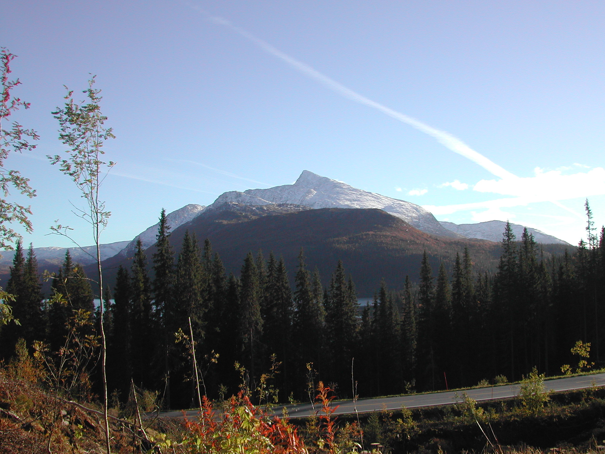 Luktinden seen from Korgfjellvegen, going along the E6 to Luktvatnet | |
| Highest point | |
| Elevation | 1,343 m (4,406 ft) |
| Coordinates | 65.9904°N 13.5447°E[1] |
| Geography | |
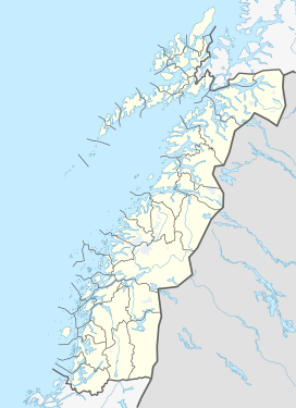 Lukttinden Location of the mountain  Lukttinden Lukttinden (Norway) | |
| Location | Nordland, Norway |
| Topo map | 1927 III Elsfjord and 1926 IV Fustvatnet |
Name
The mountain is named after the lake Luktvatnet. This name is probably from the Southern Sami language word Loektejaevrie, a compound of loekti which means 'inlet' and jaevrie which means 'lake', thus "the lake with many inlets". The suffix -tinden is the finite form of tind meaning 'mountain peak'.
References
- "Lukttinden, Vefsn (Nordland)" (in Norwegian). yr.no. Retrieved 2018-06-17.
- Store norske leksikon. "Lukttindan" (in Norwegian). Retrieved 2011-11-30.
External links
- topptur.net - information and tour planning
- Rana Spesialsport - information and tour planning
This article about a mountain, mountain range, or peak in Nordland is a stub. You can help Wikipedia by expanding it. |
Другой контент может иметь иную лицензию. Перед использованием материалов сайта WikiSort.org внимательно изучите правила лицензирования конкретных элементов наполнения сайта.
WikiSort.org - проект по пересортировке и дополнению контента Википедии