geo.wikisort.org - Mountains
Llechog is a top of Garnedd Ugain on the Snowdon massif in Wales. It is the top of a long crest of cliffs that start in Llanberis and finishes on Garnedd Ugain. The nearby Clogwyn Station is a stop of the Snowdon mountain railway. The summit is a rocky peak sitting out from cliffs which fall steeply down to the Nant Peris valley. The viewpoint is commanding, where the full prominence of Glyder Fawr, Y Garn, Elidir Fawr and Crib Goch can be admired.[1]
| Llechog | |
|---|---|
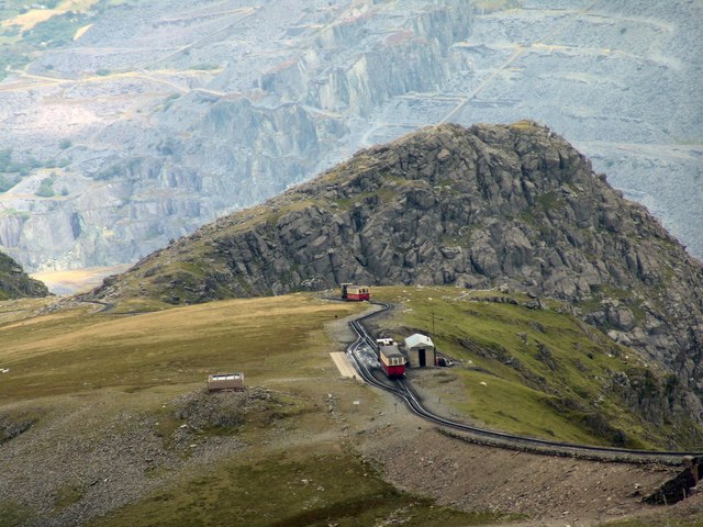 Llechog from Garnedd Ugain, with Clogwyn Station in front | |
| Highest point | |
| Elevation | 720 m (2,360 ft) |
| Prominence | 28 m (92 ft) |
| Parent peak | Snowdon |
| Listing | sub Hewitt, Nuttall |
| Coordinates | 53.07499°N 4.07633°W |
| Naming | |
| English translation | slaty, rocky, stony |
| Language of name | Welsh |
| Geography | |
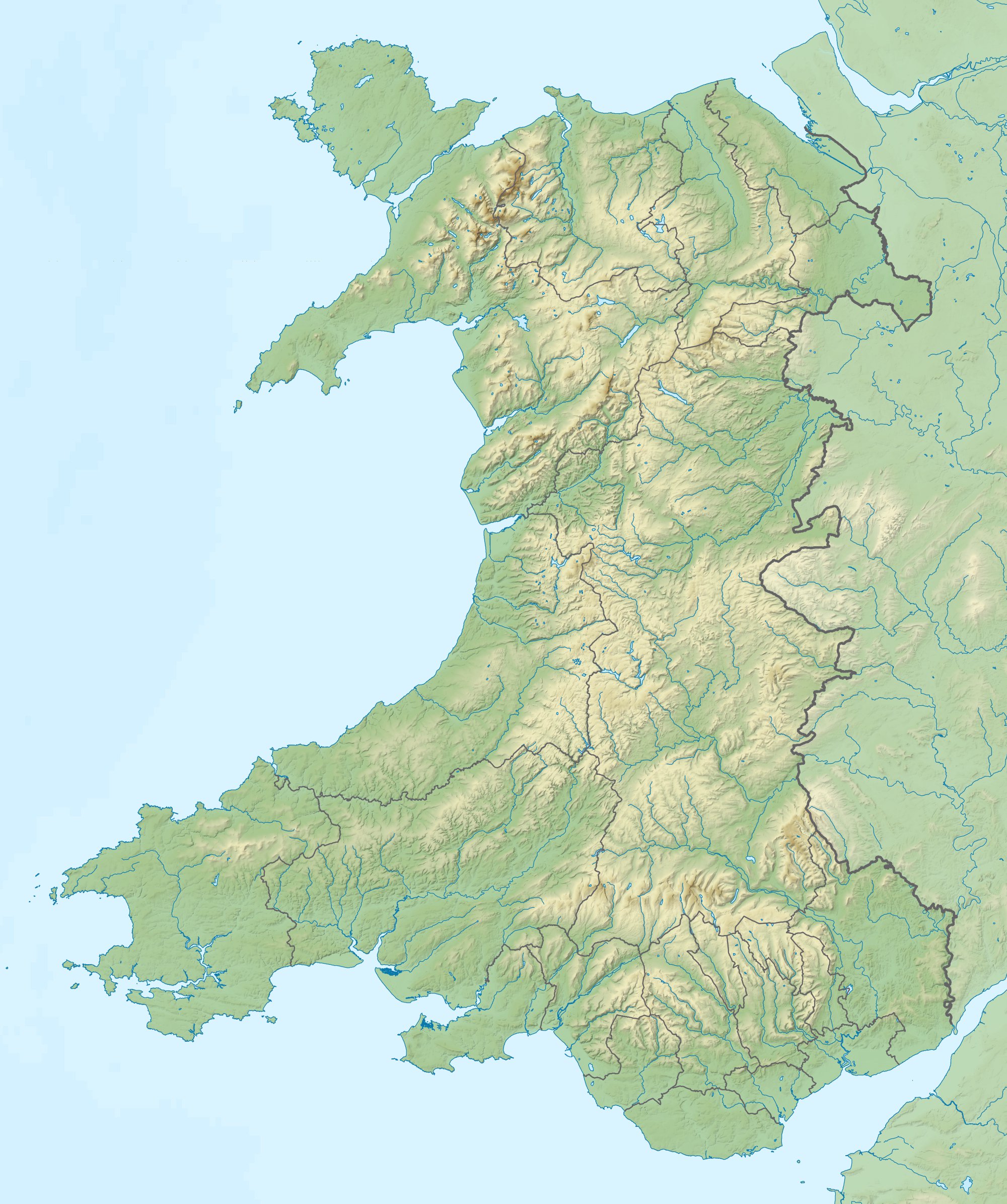 Llechog Gwynedd, Wales | |
| Parent range | Snowdonia |
| OS grid | SH610551 |
| Topo map | OS Landranger 115 |
A second top of the same name can also be found about 1/2 mile to the south-west of Snowdon summit, overlooking Cwm Clogwyn.
References
- Nuttall, John & Anne (1999). The Mountains of England & Wales - Volume 1: Wales (2nd edition ed.). Milnthorpe, Cumbria: Cicerone. ISBN 1-85284-304-7.
This Gwynedd location article is a stub. You can help Wikipedia by expanding it. |
Текст в блоке "Читать" взят с сайта "Википедия" и доступен по лицензии Creative Commons Attribution-ShareAlike; в отдельных случаях могут действовать дополнительные условия.
Другой контент может иметь иную лицензию. Перед использованием материалов сайта WikiSort.org внимательно изучите правила лицензирования конкретных элементов наполнения сайта.
Другой контент может иметь иную лицензию. Перед использованием материалов сайта WikiSort.org внимательно изучите правила лицензирования конкретных элементов наполнения сайта.
2019-2026
WikiSort.org - проект по пересортировке и дополнению контента Википедии
WikiSort.org - проект по пересортировке и дополнению контента Википедии