geo.wikisort.org - Mountains
The Lely Mountains (Dutch: Lelygebergte, Ndyuka: Ando Busiman Mongo) are a mountain plateau on the left bank of the Tapanahony and Marowijne rivers in Suriname. The plateau has a maximum altitude of about 685 metres (2,247 ft). In 2005, 25 new species were discovered in the Lely Mountains.[1]
| Lely Mountains | |
|---|---|
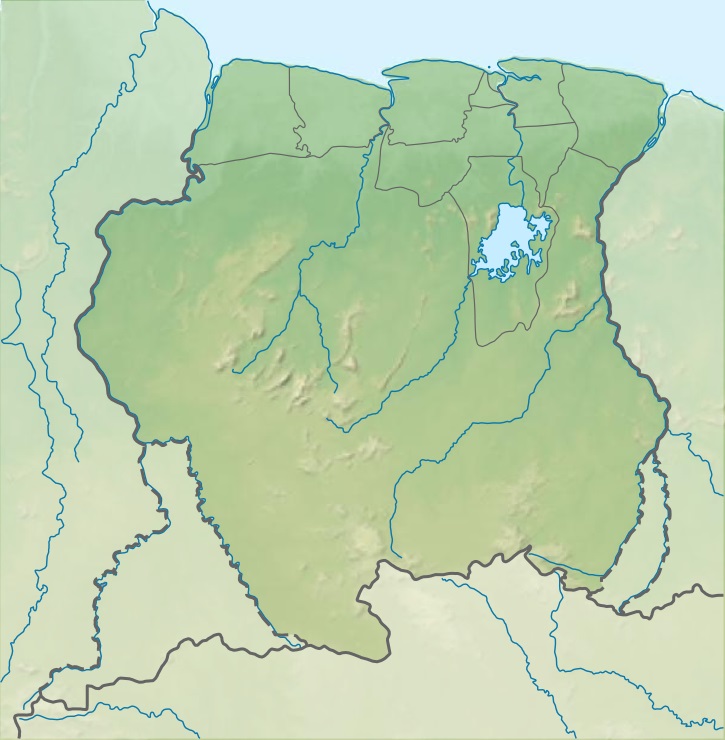 Lely Mountains Location in Suriname | |
| Highest point | |
| Elevation | 685 m (2,247 ft) |
| Coordinates | 4.3714°N 54.6632°W |
| Geography | |
| Country | Suriname |
| District | Sipaliwini District |
The mountain range is served by the Lelygebergte Airstrip.
Name
The mountain range is named after Cornelis Lely, a former governor of Suriname. The Ndyuka maroons call the mountains the Ando Busiman Mongo after the famed Ndyuka explorer Ando Busiman.[2]
References
Notes
- "Villa Lelydorp". Villa Lelydorp (in Dutch). Retrieved 29 May 2020.
- Van Wetering & Thoden van Velzen 2013, p. 57.
Bibliography
Van Wetering, Wilhelmina; Thoden van Velzen, H.U.E. (2013). Een Zwarte Vrijstaat in Suriname: de Okaanse samenleving in de negentiende en twintigste eeuw. Leiden: Brill.
This Suriname location article is a stub. You can help Wikipedia by expanding it. |
На других языках
- [en] Lely Mountains
[fr] Monts Lely
Les monts Lely (en anglais Lely Mountains) sont un massif montagneux de l'Est du Suriname, dont le plateau culmine à environ 685 mètres d'altitude. Leur nom fait référence à Cornelis Lely, ingénieur en hydraulique néerlandais et gouverneur de l'ancienne colonie qu'était la Guyane néerlandaise avant son indépendance en 1975 sous le nom de Suriname.Другой контент может иметь иную лицензию. Перед использованием материалов сайта WikiSort.org внимательно изучите правила лицензирования конкретных элементов наполнения сайта.
WikiSort.org - проект по пересортировке и дополнению контента Википедии