geo.wikisort.org - Mountains
La Maroma, also known as Tejeda,[2] at an altitude of 2069 m, is the highest peak of the Sierra de Tejeda, Penibaetic System, Spain. The summit is located in the region of Axarquía on the border between the provinces of Granada and Málaga.
| La Maroma | |
|---|---|
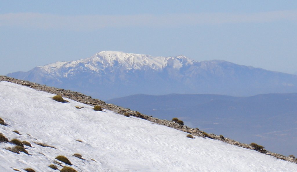 View of La Maroma in the winter | |
| Highest point | |
| Elevation | 2,069 m (6,788 ft)[1] |
| Prominence | 1238[1] |
| Coordinates | 36°54′07″N 04°02′40″W |
| Geography | |
 La Maroma Spain | |
| Location | Axarquía, Andalusia |
| Parent range | Sierra de Tejeda |
| Climbing | |
| Easiest route | From the Área Recreativa de El Alcázar, Alcaucín |
The name La Maroma ("The Rope") comes from a rope used to descend to an ancient ice house located close to the summit. This mountain is in the Sierras of Tejeda, Almijara and Alhama Natural Park.[3]
References
- "Maroma, Spain". peakbagger.com. Retrieved October 8, 2015.
- Tejeda es el pico más alto de la provincia de Málaga
- Parque Natural de las Sierras de Tejeda, Almijara y Alhama
External links
 Media related to La Maroma at Wikimedia Commons
- Tejeda (La Maroma), 2.068 m
This article about a location in Andalusia, Spain, is a stub. You can help Wikipedia by expanding it. |
На других языках
[de] La Maroma
La Maroma ist ein Berg in Andalusien, Südspanien, dessen Gipfel auf einer Höhe von 2066 msnm liegt.- [en] La Maroma
[es] La Maroma
La Maroma, con 2069 msnm de altitud,[1][2] es el pico más alto de la sierra de Tejeda, dentro del parque natural de las Sierras de Tejeda, Almijara y Alhama. Es el punto más alto de la comarca de la Axarquía y de toda la provincia de Málaga, en España.Текст в блоке "Читать" взят с сайта "Википедия" и доступен по лицензии Creative Commons Attribution-ShareAlike; в отдельных случаях могут действовать дополнительные условия.
Другой контент может иметь иную лицензию. Перед использованием материалов сайта WikiSort.org внимательно изучите правила лицензирования конкретных элементов наполнения сайта.
Другой контент может иметь иную лицензию. Перед использованием материалов сайта WikiSort.org внимательно изучите правила лицензирования конкретных элементов наполнения сайта.
2019-2026
WikiSort.org - проект по пересортировке и дополнению контента Википедии
WikiSort.org - проект по пересортировке и дополнению контента Википедии