geo.wikisort.org - Mountains
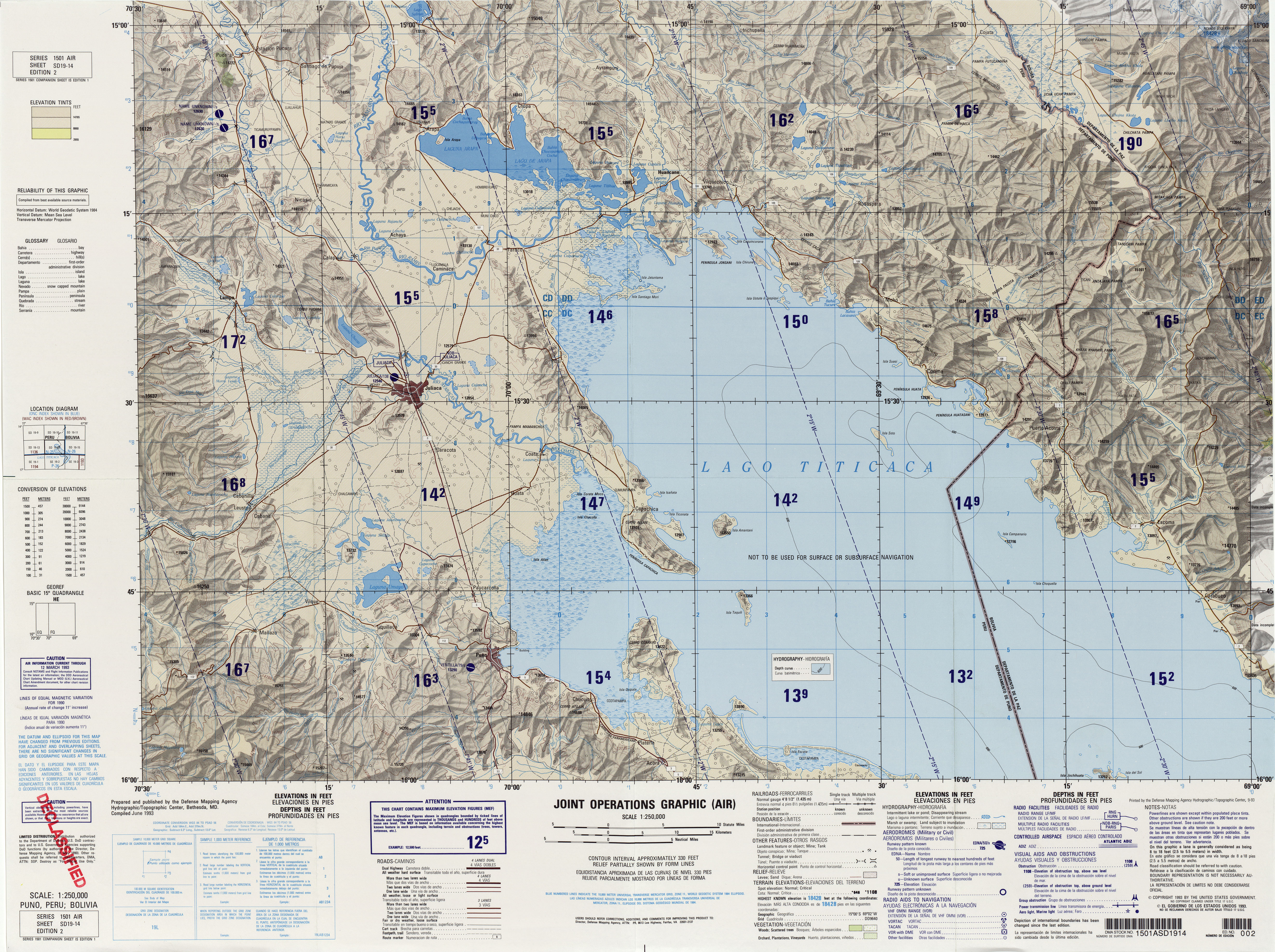
Kuntur Ikiña (Aymara kunturi condor,[3] ikiña to sleep, bed or blanket,[4] Hispanicized spelling Condoriquiña) is a mountain in the Andes of Peru, about 4,800.9 metres (15,751 ft) high. It is located in the Puno Region, Puno Province, on the border of the districts Mañazo and Tiquillaca.[5]
| Kuntur Ikiña | |
|---|---|
 Kuntur Ikiña Peru | |
| Highest point | |
| Elevation | 4,800.9 m (15,751 ft)[1] |
| Coordinates | 15°52′27″S 70°18′55″W[2] |
| Geography | |
| Location | Peru, Puno Region, Puno Province |
| Parent range | Andes |
References
- "South America Maps". Joint Operations Graphic. Retrieved July 5, 2014.
- "Nevados". IGN, Peru. Retrieved July 5, 2014.
- Yatiqirinaka Aru Pirwa, Lima, 2005 (Aymara-Spanish dictionary)
- "Diccionario Quechua - Aymara al español". katari.org. Retrieved July 5, 2014.
- escale.minedu.gob.pe - UGEL map of the Puno Province 1 (Puno Region)
This Puno Region geography article is a stub. You can help Wikipedia by expanding it. |
Текст в блоке "Читать" взят с сайта "Википедия" и доступен по лицензии Creative Commons Attribution-ShareAlike; в отдельных случаях могут действовать дополнительные условия.
Другой контент может иметь иную лицензию. Перед использованием материалов сайта WikiSort.org внимательно изучите правила лицензирования конкретных элементов наполнения сайта.
Другой контент может иметь иную лицензию. Перед использованием материалов сайта WikiSort.org внимательно изучите правила лицензирования конкретных элементов наполнения сайта.
2019-2026
WikiSort.org - проект по пересортировке и дополнению контента Википедии
WikiSort.org - проект по пересортировке и дополнению контента Википедии