geo.wikisort.org - Mountains
The Kraków-Częstochowa Upland, also known as the Polish Jurassic Highland or Polish Jura (Polish: Jura Krakowsko-Częstochowska), is part of the Jurassic System of south–central Poland, stretching between the cities of Kraków, Częstochowa and Wieluń. The Polish Jura borders the Lesser Polish Upland to the north and east, the foothills of the Western Carpathians to the south and Silesian Upland to the west.


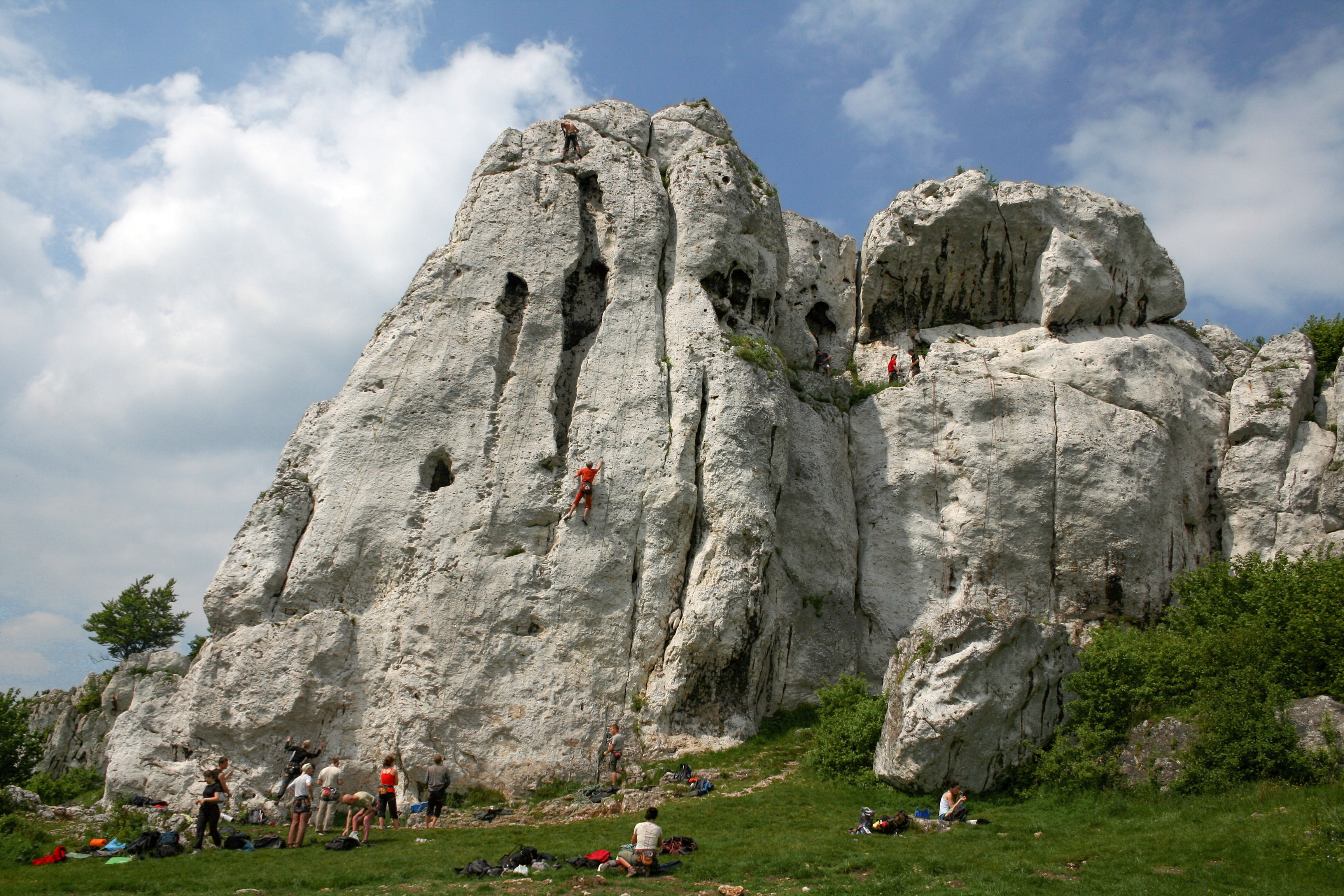
The Polish Jura consists of a hilly landscape with Jurassic limestone rocks, cliffs, valleys and vast limestone formations, featuring some 220 caves. The relief of the upland developed since the Paleogene, under climatic conditions changing considerably. Its main component is a peneplain, crowned by monadnocks, rocky masses that resisted erosion, generated as hard rock on Late Jurassic buildup surrounded by less resistant bedded limestone of the same age.[1] The Polish Jura is visited by roughly 400,000 visitors a year. Part of it belongs to the Ojców National Park, the smallest of Poland's twenty national parks, ranking among the most attractive recreational areas of the country.[2]
Flora and fauna

The Kraków-Częstochowa Jurassic Upland consists of a rich ecosystem, partly because of the unique microclimate and also because of the whole upland being surrounded by a natural forest.[3] Plant and animal life is very diverse with over 1600 species of plants and 5500 species of animals. These include 4600 species of insects, including 1700 of beetles and 1075 of butterflies and 135 of birds. Mammals include the beaver, badger, ermine and 15 species of bats, many of which hibernate in the park's caves during the winter.
The climate of the upland differs significantly from the surrounding area. The snowpack covers the area for 80 days a year and the rainy season lasts from April until September. Annual precipitation varies between 650–700 mm, higher than in surrounding regions, the median temperature is lower, from 0.5 to 1.0°C. Average temperature is 19°C in summer and -3°C in winter.
There are a number of rivers that originate from the Kraków-Częstochowa Upland, among them the Warta, Biała Przemsza, Pilica, Dłubnia, Szreniawa, Prądnik, Wiercica and Rudawa.
Apart from a diversity of plant and animal species, one can find a unique cultural landscape with archeological objects and relics of ancient inhabitation, with a vast collection of artifacts. The earliest settlement in the area dates to the Paleolithic period, approximately 12,000 years ago. The region is rich in flint, which attracted early humans.
Gallery
 Statues of Neanderthal in the Dark Cave
 Highland Outlier
 Crown Rocks
 American pond in Złoty Potok
 Aster amellus
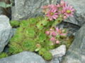 Mountain swarm (Sempervivum montanum L.)
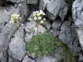 Saxifraga paniculata
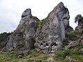 Camel Rock on Zborów Mountain
 Rzędkowickie rocks
 Zborów mountain nature reserve
 Mirowskie rocks
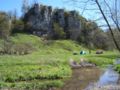 Kluczwody Valley
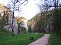 Mnikowska Valley
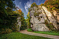 Kraków Gate
 Canyon of Prądnik
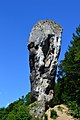 Club of Hercules
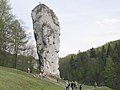 Club of Hercules
 Club of Hercules
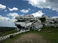 Typical landscape
 View of the Tatra mountains, 115 km away from the ruins of Grodzisko castle near Gmina Skała
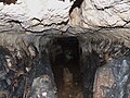 Wierzchowska Górna Cave
 Prądnik river valley
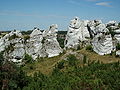 Mount Towarne
 Bolechowicka Gate
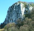 Sokolica
 Rzędkowickie rocks
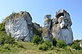 The Great Window


- Castles
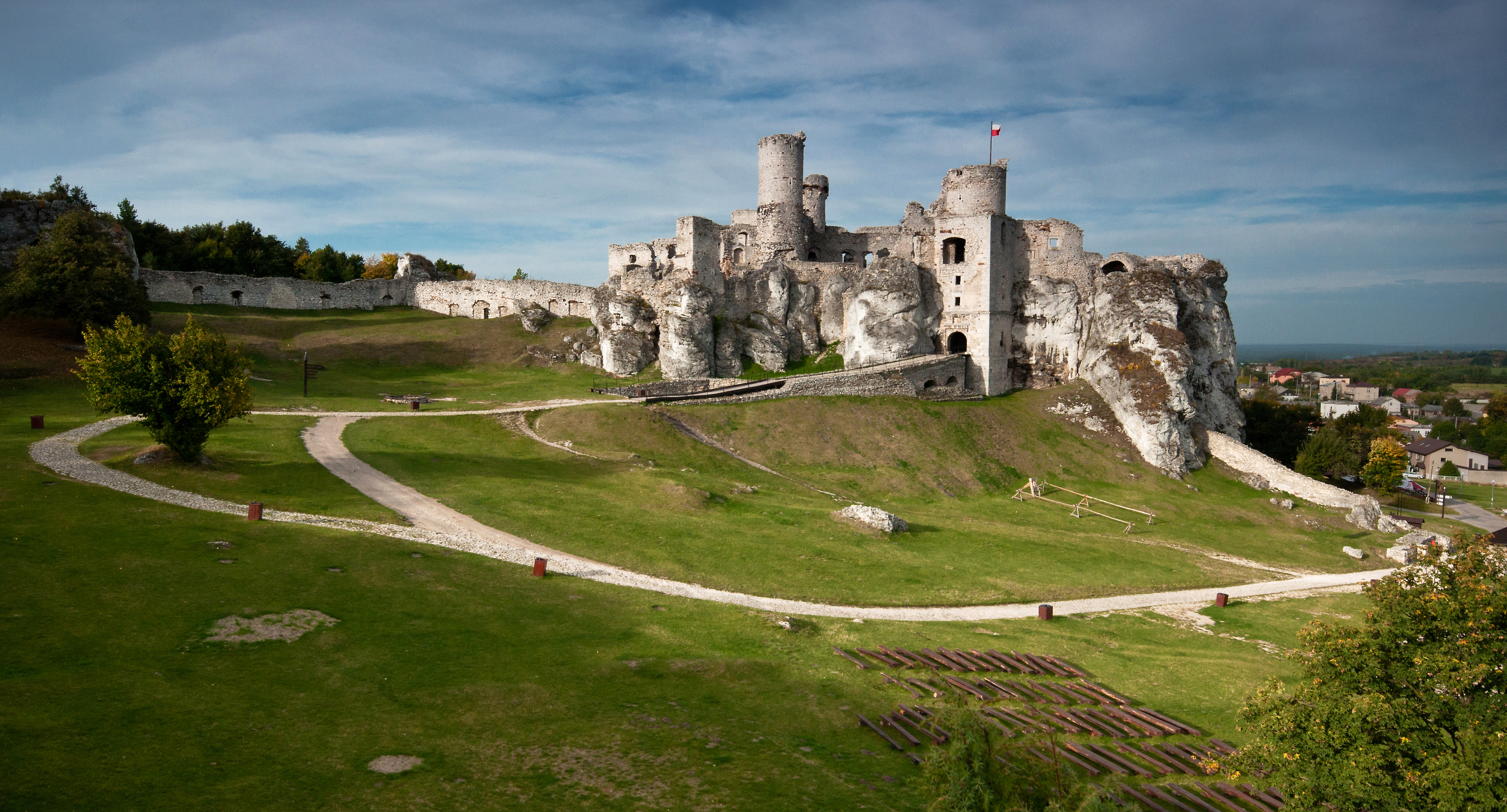
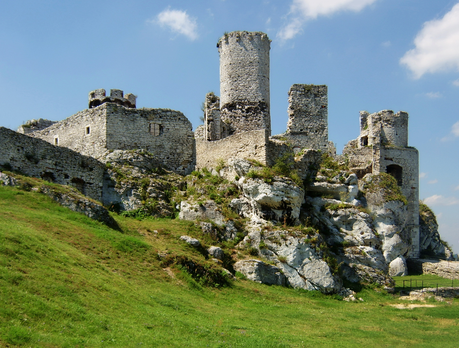
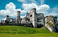 Ruins of the Ogrodzieniec Castle in Podzamcze
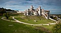 Ruins of the Ogrodzieniec Castle
 Ruins of the castle Ogrodzieniec
 Ruins of Olsztyn Castle
 Ruins of the castle Olsztyn
 Ruins of Mirów Castle
 Ruins of the Mirów castle
 Ruins of Smoleniu Castle
 Ruins of Gmina Olsztyn
 Tenczyn Castle
 Renaissance castle Pieskowa Skała
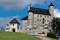 Bobolice Castle (after reconstruction in 2002–11)
 Ruins of the castle Bydlin
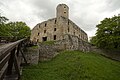 Ruins of the castle Lipowiec
 The ruins of the castle Rabsztyn


See also
- Geography of Poland – Geographical features of Poland
References
- "Pattern of karst landscape of the Cracow Upland (South Poland)" by Witold Stefan Alexandrowicz and Zofia Alexandrowicz, Acta Carsologica, Slovenian Academy Of Sciences "Acta Carsologica". Archived from the original on 2007-09-26. Retrieved 2007-09-12.
- Congress of the Jurassic System, Kraków, Poland. Archived 2009-03-27 at the Wayback Machine
- "Krakow - Czestochowa Upland", Agencja Promocji Regionów ORANET. (in Polish)
External links
![]() Media related to Polish Jura at Wikimedia Commons
Media related to Polish Jura at Wikimedia Commons
Authority control | |
|---|---|
| General |
|
| National libraries | |
| Other |
|
На других языках
[de] Krakau-Tschenstochauer Jura
Der Krakau-Tschenstochauer Jura (Jura Krakowsko-Częstochowska / Wyżyna Krakowsko-Częstochowska) ist ein Mittelgebirge im südlichen Polen auf dem Gebiet der Woiwodschaften Schlesien und Kleinpolen. Er stellt den östlichen Teil des Krakau-Schlesischen Hochlands dar und grenzt im Norden an die polnische Tiefebene, im Osten an das Kleinpolnische Hochland, im Süden an das Weichseltal und im Westen an das schlesische Hochland und erstreckt sich von Tschenstochau bis nach Krakau. Seine Verlängerung, das Wieluner Hochland, erstreckt sich in nordwestlicher Richtung bis zur Stadt Wieluń. Das Gebirge ist von Kalkfelsen geprägt und weist zahlreiche Karsterscheinungen (Tropfsteinhöhlen, Felsmassive und -türme, Dolinen etc.) sowie die größte Sandwüste Mitteleuropas (Błędów-Wüste) auf.- [en] Kraków-Częstochowa Upland
[fr] Jura cracovien
Le haut plateau de Cracovie-Częstochowa, Jura cracovien ou Jura polonais, en polonais Wyżyna Krakowsko-Częstochowska, s'étend sur une bande d'environ 80 km de long entre Cracovie, au sud, et Częstochowa, au nord. Il a une superficie d'environ 2 615 km2 et son altitude moyenne est de 450 mètres. C'est un milieu physique original, unique en Pologne, par ses hautes buttes calcaires du secteur d'Ogrodzieniec, le canyon de Prądnik et ses grottes. C'est aussi un ensemble de sites historiques protégés dans le cadre de parcs nationaux.[it] Altopiano di Cracovia-Częstochowa
L' altopiano di Cracovia-Częstochowa, noto anche come altopiano giurassico polacco o Giura polacco (in in polacco Jura Krakowsko-Częstochowska), fa parte del sistema giurassico della Polonia centro-meridionale, che si estende tra le città di Cracovia, Częstochowa e Wieluń. Il Giura polacco confina con l'altopiano della Piccola Polonia a nord e ad est, le pendici dei Carpazi occidentali a sud e l'altopiano della Slesia a ovest.[ru] Краковско-Ченстоховская возвышенность
Кра́ковско-Ченстохо́вская возвы́шенность — возвышенность на юге Польши, юго-западная часть Малопольской возвышенности. На западе уступом куэсты обрывается к Силезской возвышенности. Также известна, как Юра́ Краковско-Ченстоховская, Юра́ Краковская и Польская Юра́.Другой контент может иметь иную лицензию. Перед использованием материалов сайта WikiSort.org внимательно изучите правила лицензирования конкретных элементов наполнения сайта.
WikiSort.org - проект по пересортировке и дополнению контента Википедии