geo.wikisort.org - Mountains
The Klinghardt Mountains are a Namibian mountain range in the Diamond Restricted Area, also called Sperrgebiet.[1][2] The Klinghardt Mountains are located approximately 90 km south-southeast of Lüderitz and extend over an area of about 350 km2. East of the Klinghardt Mountains is the mountain Höchster.[3]
| Klinghardt Mountains | |
|---|---|
 Aerial view of Klinghardt Mountains in the Diamond Restricted Area (2018) | |
| Highest point | |
| Elevation | 1,070 m (3,510 ft) |
| Coordinates | 27°19′51″S 015°45′39″E |
| Geography | |
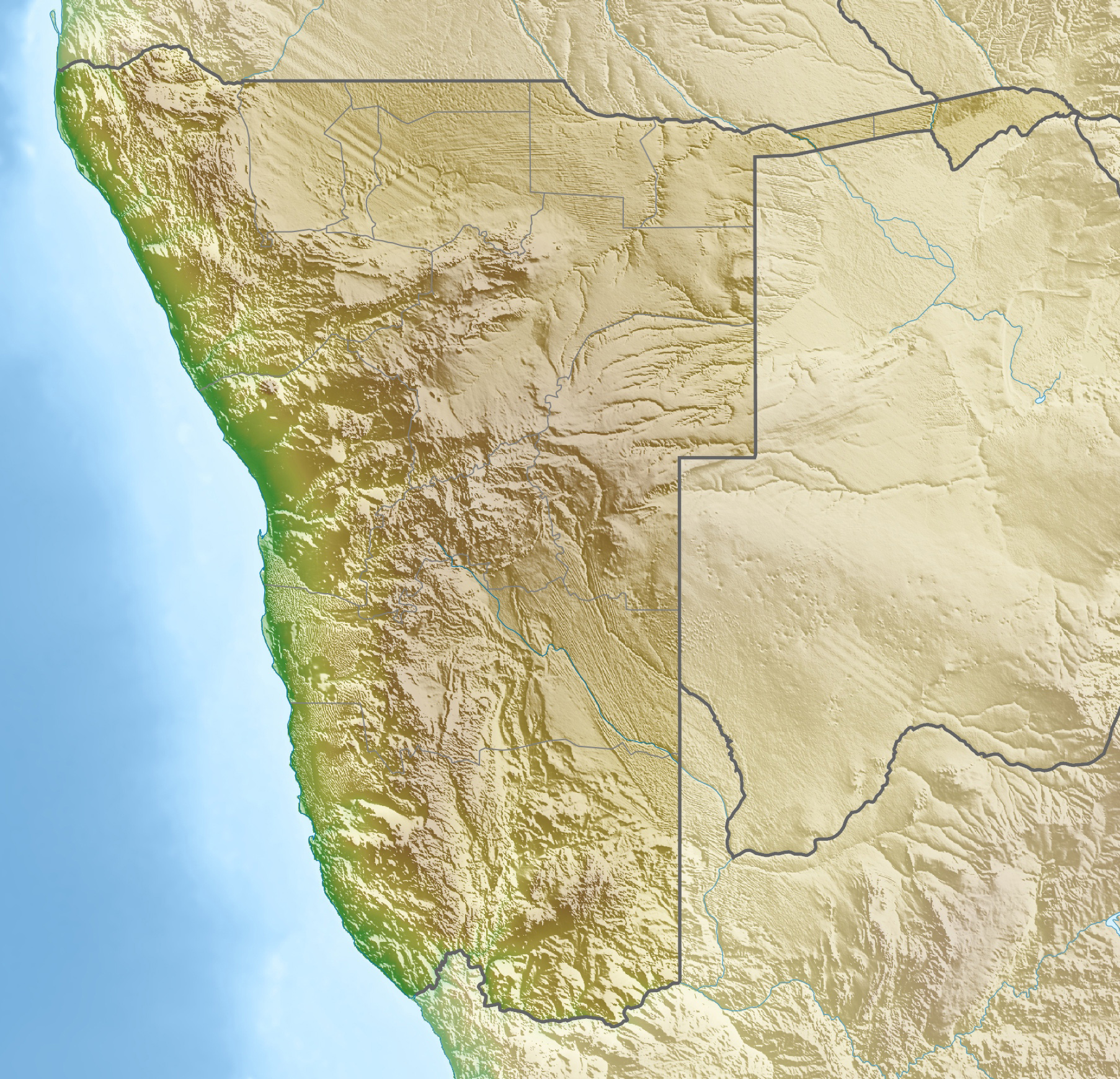 Klinghardt Mountains Location in Namibia | |
| Country | |
| Region | ǁKaras |
Several places of the mountain range are covered with sand which is blown over by sandstorms. The average yearly rainfall in this area of the Namib desert amounts to just a few millimeters.[4][5]
The bushes to be found in the mountains just survive because of the mist, which sometimes is formed above the cold Atlantic and then during daytime drifts far into the desert.[4] The few Camel Thorn trees take their water from deep underground accumulations.[6]

Pictures
Pictures of Klinghardt Mountains
![]()
References
- Namibia Travel Map. Kunth-Verlag, München 2017, ISBN 978-3-95504-578-4.
- Klinghart mountains Mapcarta
- Höchster Mapcarta
- Fog desert Namib
- Rainfall in nearby Lüderitz
- Camel Thorn trees have roots reaching 60 m in depth.
На других языках
[de] Klinghardtberge
Die Klinghardtberge sind ein namibisches Gebirge im Diamantensperrgebiet.[1][2][3] Die Klinghardtberge liegen rund 90 km südöstlich von Lüderitz und erstrecken sich über eine Fläche von rund 350 km². Im Osten der Klinghardtberge befindet sich der Höchster.[4]- [en] Klinghardt Mountains
Другой контент может иметь иную лицензию. Перед использованием материалов сайта WikiSort.org внимательно изучите правила лицензирования конкретных элементов наполнения сайта.
WikiSort.org - проект по пересортировке и дополнению контента Википедии