geo.wikisort.org - Mountains
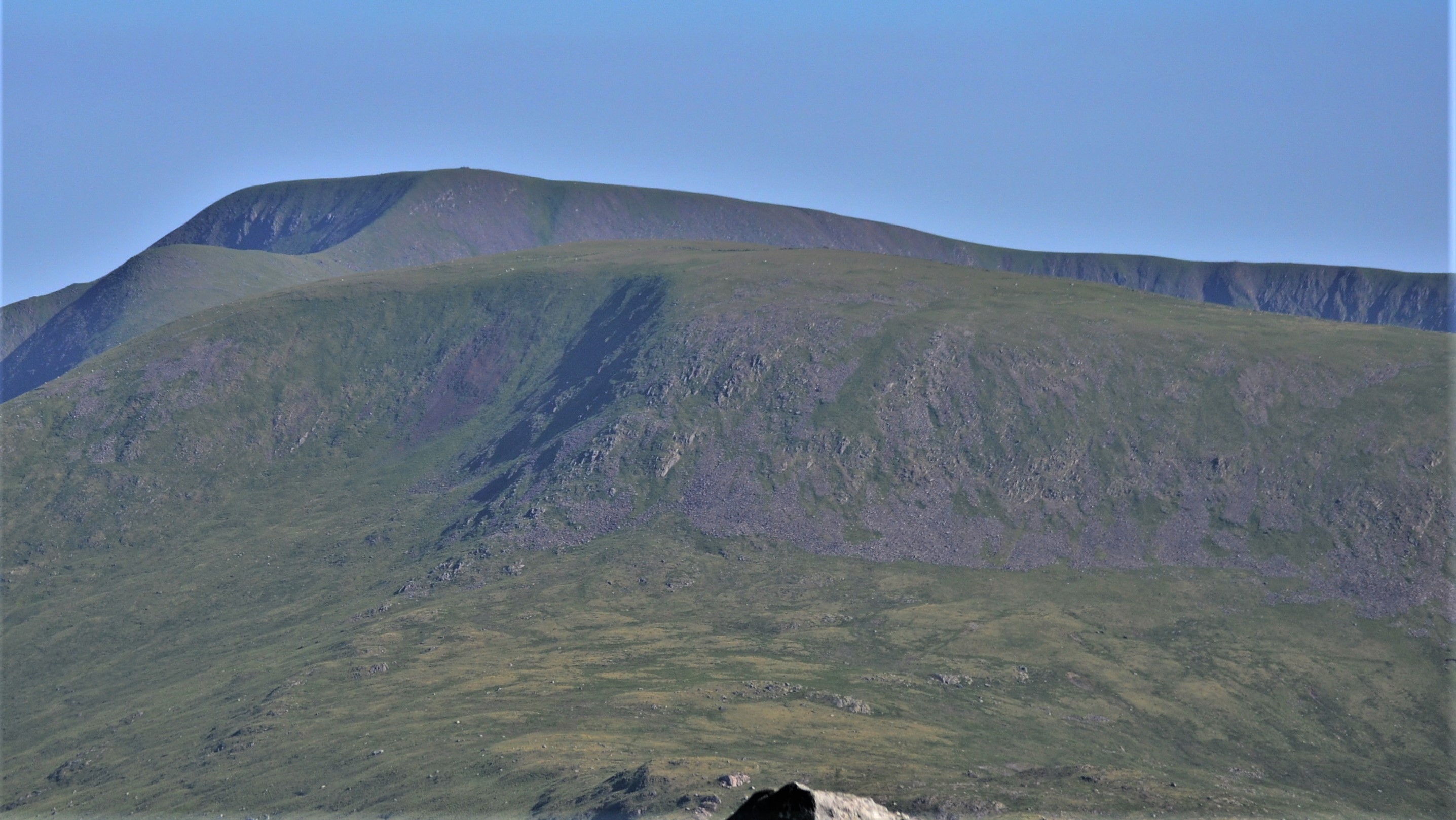
Kirriereoch Hill is a hill in the Range of the Awful Hand, a sub-range of the Galloway Hills range, part of the Southern Uplands of Scotland. It lies on the border of the old counties of Ayrshire and Kirkcudbrightshire, or the modern regions of Dumfries and Galloway and South Ayrshire. A boundary wall near the summit is the highest point in South Ayrshire and Ayrshire as a whole. Kirriereoch Hill was classified as a Corbett and Marilyn but then deleted from these lists in 1984 due to not being thought to achieve the respective prominence criteria. In August 2015 the hill was relisted as a Marilyn[4] after having been surveyed to have a 150.2 m prominence. However, since this is less than the 152.4 m required, the hill will not be re-listed as a Corbett.[5]
| Kirriereoch Hill | |
|---|---|
 | |
| Highest point | |
| Elevation | 786 m (2,579 ft)[1] |
| Prominence | 150.2 m[1] |
| Listing | Ma,Hu,Tu,Sim, D, CT,DN,Y,xC[2] |
| Naming | |
| English translation | Scottish Gaelic: Hill of the Brindled Quarter[3] |
| Geography | |
| Location | South Ayrshire, Dumfries and Galloway, Scotland |
| Parent range | Range of the Awful Hand, Galloway Hills, Southern Uplands |
| OS grid | NX 42093 86949 |
| Topo map | OS Landranger 77 |
References
- "Kirriereoch Hill". hillbagging.co.uk. Retrieved 22 October 2019.
- "Database of British and Irish Hills: User guide". hills-database.co.uk.
- "Scottish Place-Name News, No. 38, Spring 2015" (PDF). spns.org.uk.
- "The Relative Hills of Britain". rhb.org.uk.
- "The Database of British and Irish Hills: News". www.hills-database.co.uk.
External links
- Information on Hill Walking in the Galloway Hills
- Photo Tour of hiking Kirriereoch and Tarfessock from Kirriereoch Car Park
This Dumfries and Galloway location article is a stub. You can help Wikipedia by expanding it. |
Другой контент может иметь иную лицензию. Перед использованием материалов сайта WikiSort.org внимательно изучите правила лицензирования конкретных элементов наполнения сайта.
WikiSort.org - проект по пересортировке и дополнению контента Википедии