geo.wikisort.org - Mountains
The Kayser Mountains (Dutch: Kaysergebergte) is a mountain range in the Sipaliwini District of Suriname. It is named after Conrad Carel Käyser. The Kayser Airstrip was built in 1960 at the foot of the mountains as part of Operation Grasshopper to access the interior of Suriname.[1]
| Kayser Mountains | |
|---|---|
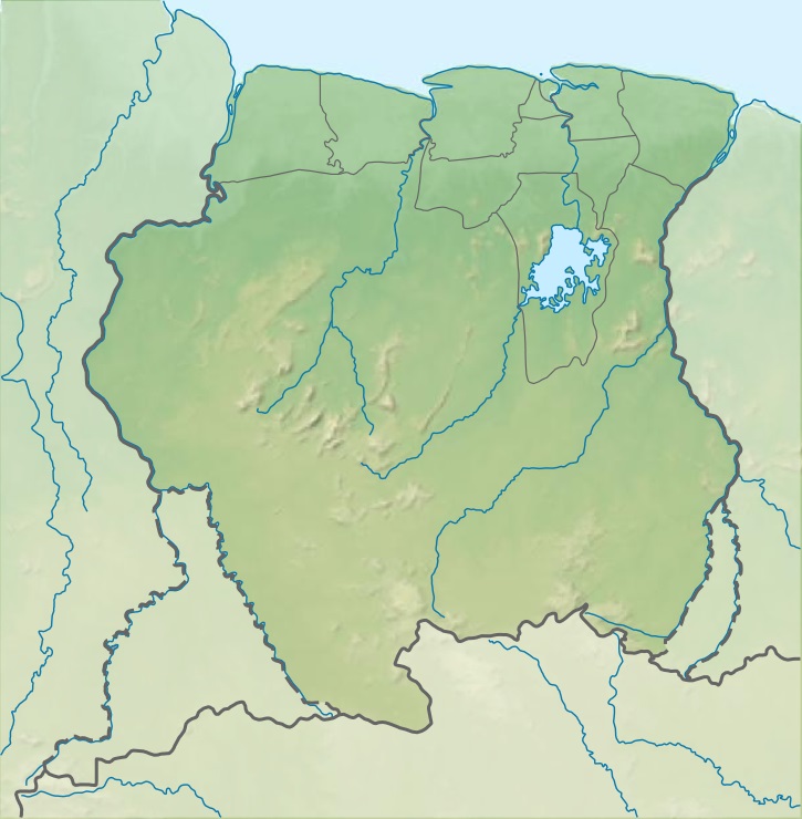 Kayser Mountains Location in Suriname | |
| Highest point | |
| Elevation | 861 m (2,825 ft) |
| Coordinates | 3°1′N 56°41′W |
| Geography | |
| Country | Suriname |
Reference
- "Operatie sprinkhaan" (PDF). Landewers (in Dutch). Retrieved 25 June 2020.
This Suriname location article is a stub. You can help Wikipedia by expanding it. |
На других языках
[de] Kaysergebirge
Das Kaysergebirge ist eine ca. 80 bis 90 km lange, im Südwesten von Suriname, im Distrikt Sipaliwini liegende Bergkette.- [en] Kayser Mountains
Текст в блоке "Читать" взят с сайта "Википедия" и доступен по лицензии Creative Commons Attribution-ShareAlike; в отдельных случаях могут действовать дополнительные условия.
Другой контент может иметь иную лицензию. Перед использованием материалов сайта WikiSort.org внимательно изучите правила лицензирования конкретных элементов наполнения сайта.
Другой контент может иметь иную лицензию. Перед использованием материалов сайта WikiSort.org внимательно изучите правила лицензирования конкретных элементов наполнения сайта.
2019-2026
WikiSort.org - проект по пересортировке и дополнению контента Википедии
WikiSort.org - проект по пересортировке и дополнению контента Википедии