geo.wikisort.org - Mountains
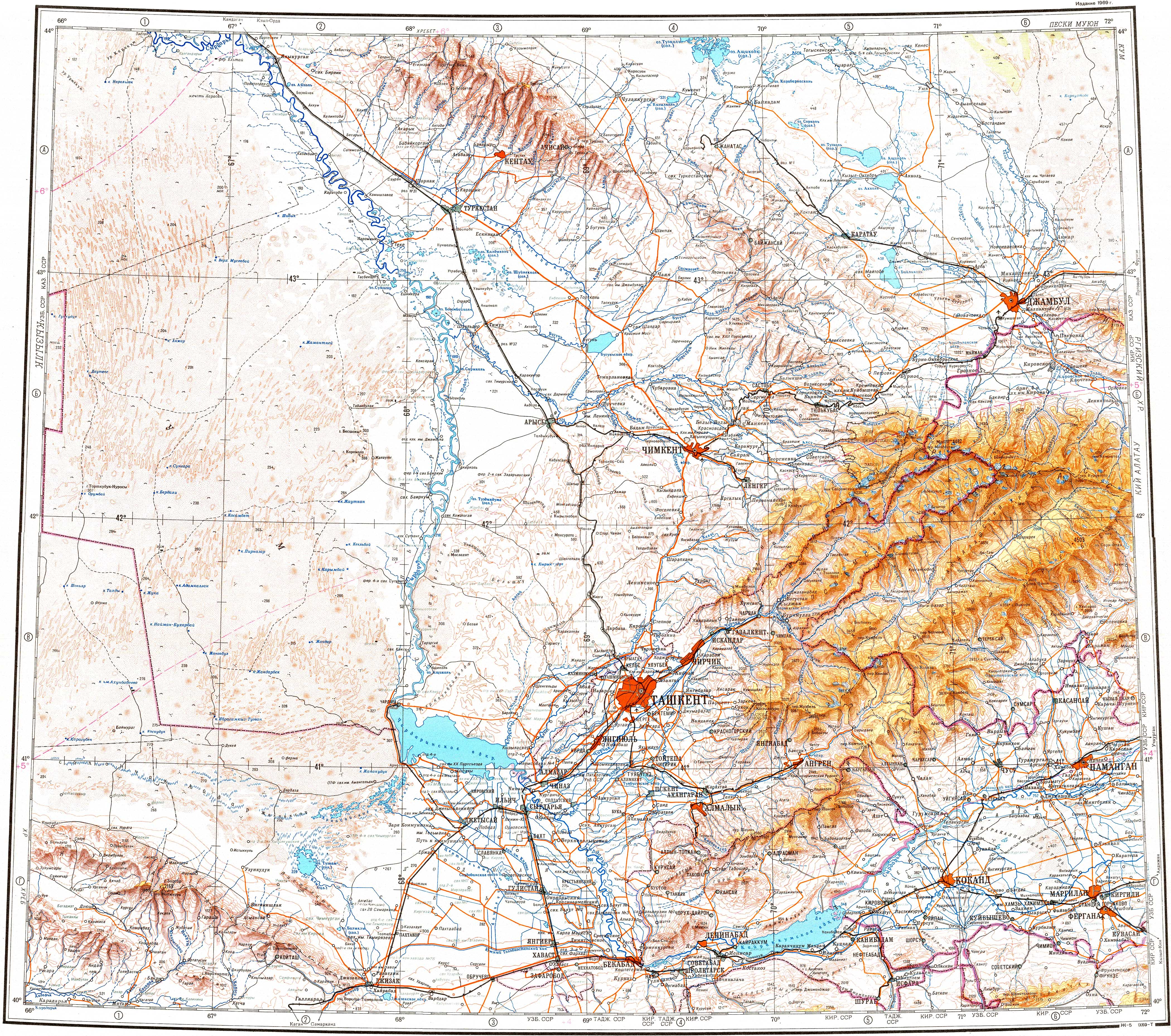
The Karatau or Qaratau (Kazakh: Қаратау жотасы, romanized: Qarataw jotasy) is a mountain range located in southern Kazakhstan.
| Karatau | |
|---|---|
| Қаратау жотасы | |
 View of the mountains in the area of Kentau city | |
| Highest point | |
| Peak | Bessaz |
| Elevation | 2,176 m (7,139 ft)[1] |
| Coordinates | 42°53′20″N 69°58′50″E[2] |
| Dimensions | |
| Length | 420 km (260 mi) NW/SE |
| Width | 90 km (56 mi) NE/SW |
| Geography | |
 Karatau Location in Kazakhstan | |
| Location | Kazakhstan |
| Parent range | Tian Shan |
| Geology | |
| Orogeny | Alpine orogeny |
| Type of rock | Shale, sandstone, limestone[1] |
| Climbing | |
| Easiest route | From Kentau |
The name Karatau means Black Mountain in the Kazakh language. The mountains have deposits of phosphorite, lead and zinc.[3]
Geography
The range extends for about 420 kilometres (260 mi) in a roughly NW/SE direction just north of the Syrdaria River. The Muyunkum Desert lies to the north of the range. The Karatau is the westernmost prolongation of the Tian Shan. The summits of the mountains are smooth and the slopes are cut by snow-fed rivers.[3] The Shabakty, Ushbas, Bugun and Asa, are among the rivers having their sources in the range.[4]
World Heritage Status
There are numerous ancient archaeological sites in the range that display the stages of cultural evolution from the early Paleolithic Age (1 million BP) to the Neolithic Age (6500 BP).[5] This site was added to the UNESCO World Heritage Tentative List on September 24, 1998 in the Cultural category.[5]
Nature Reserve
The Karatau Nature Reserve is a protected area in the range established in 2004.[6]
References
- "Каратау (горн. хребет на Тянь-Шане)". Great Soviet Encyclopedia (in Russian).
- Google Earth
- "Qarataū". Encyclopedia Britannica. Retrieved 2022-10-05.
- "K-42 Topographic Chart (in Russian)". Retrieved 27 October 2022.
- Paleolithic sites and geomorphology of Karatau mountain range - UNESCO World Heritage Centre
- Decree of the Government of the Republic of Kazakhstan "On the establishment of the state institution" Karatau State Nature Reserve "of the Committee for Forestry and Hunting of the Ministry of Agriculture of the Republic of Kazakhstan"; 1 March 2004
External links
 Media related to Karatau at Wikimedia Commons
Authority control | |
|---|---|
| General |
|
| National libraries | |
На других языках
[de] Qaratau (Gebirge)
Der Qaratau (kasachisch Қаратау Жотасы; russisch хребет Каратау/ Karatau) ist ein Gebirge im Süden Kasachstans.- [en] Karatau Mountains
[fr] Montagnes Karataou
Les montagnes Karataou (en kazakh : Қаратау, en russe : Каратау, « montagne Noire » en kazakh) sont situées dans le Sud du Kazakhstan, juste au nord du fleuve Syr-Daria. Elles présentent une géomorphologie unique et une géologie variée, des sites archéologiques de pierre nombreuses qui représentent les nombreuses étapes de l'évolution culturelle du début du Paléolithique jusqu'au Néolithique.[it] Monti Karatau
I monti Karatau (dal kazako Қаратау, «montagna nera»; in russo: Каратау) sono una catena montuosa del Kazakistan meridionale situata appena a nord del fiume Syr Darya.[ru] Каратау (хребет, Тянь-Шань)
Карата́у[1] (каз. Каратау) или Сырдарьинский Каратау — горный хребет на юге Казахстана, северо-западный отрог Тянь-Шаня, часть процесса виргации. Средневековое название в период возникновения Казахского ханства — Аргынтау.Другой контент может иметь иную лицензию. Перед использованием материалов сайта WikiSort.org внимательно изучите правила лицензирования конкретных элементов наполнения сайта.
WikiSort.org - проект по пересортировке и дополнению контента Википедии