geo.wikisort.org - Mountains
The Kaiseregg is a mountain in the Bernese Alps, overlooking Schwarzsee in the canton of Fribourg. Its summit, which can be accessed by trail, is located a few hundred meters from the border with the canton of Bern.
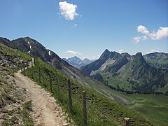 Trail to the summit
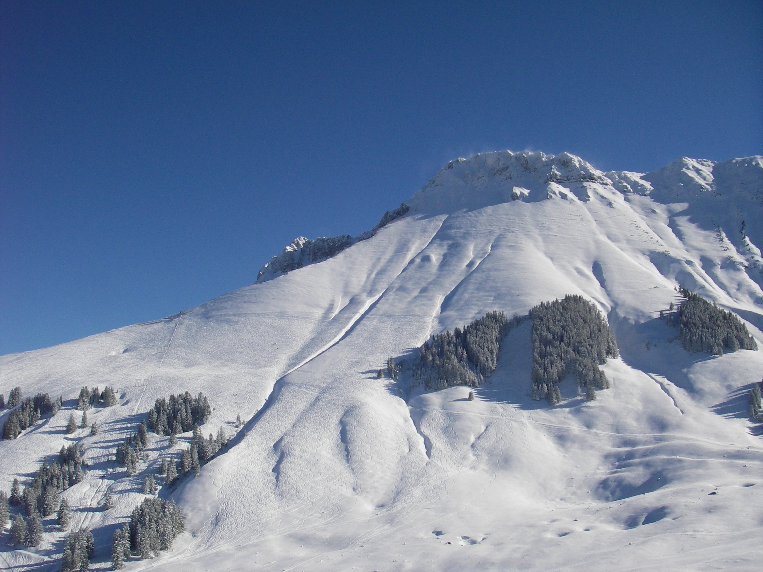
 Kaiseregg in winter
 Sunrise with Eiger, Mönch and Jungfrau
 Panorama (southwest)


| Kaiseregg | |
|---|---|
 View from the north side | |
| Highest point | |
| Elevation | 2,185 m (7,169 ft) |
| Prominence | 190 m (620 ft)[1] |
| Parent peak | Schafberg |
| Isolation | 1.64 km (1.02 mi) |
| Coordinates | 46°39′8.7″N 7°19′8.6″E |
| Geography | |
 Kaiseregg Location in Switzerland | |
| Location | Fribourg, Switzerland (mountain partially in Bern) |
| Parent range | Fribourg Alps |
References
- Retrieved from the Swisstopo topographic maps and Google Earth. The key col is located south of the mountain at 1,995 metres.
External links
 Media related to Kaiseregg at Wikimedia Commons
- Kaiseregg on Hikr
This article about a mountain, mountain range, or peak located in the canton of Fribourg is a stub. You can help Wikipedia by expanding it. |
На других языках
[de] Kaiseregg
Die Kaiseregg ist ein 2185 m hoher Berg im schweizerischen Kanton Freiburg. Es ist Teil der Freiburger Voralpen und liegt auf dem Gemeindegebiet von Plaffeien (Sensebezirk) im Ortsteil Schwarzsee. Wenig westlich des Gipfels verläuft die Bezirksgrenze zum Greyerzbezirk (Gemeinde Jaun), wenig östlich die Kantonsgrenze zum Kanton Bern (Gemeinde Boltigen).- [en] Kaiseregg
[fr] Kaiseregg
Le Kaiseregg est un sommet des Préalpes fribourgeoises situé en Suisse, dans le canton de Fribourg.[it] Kaiseregg
Il Kaiseregg (2.185 m s.l.m.) è una montagna delle Prealpi di Friburgo nelle Prealpi Svizzere.Текст в блоке "Читать" взят с сайта "Википедия" и доступен по лицензии Creative Commons Attribution-ShareAlike; в отдельных случаях могут действовать дополнительные условия.
Другой контент может иметь иную лицензию. Перед использованием материалов сайта WikiSort.org внимательно изучите правила лицензирования конкретных элементов наполнения сайта.
Другой контент может иметь иную лицензию. Перед использованием материалов сайта WikiSort.org внимательно изучите правила лицензирования конкретных элементов наполнения сайта.
2019-2026
WikiSort.org - проект по пересортировке и дополнению контента Википедии
WikiSort.org - проект по пересортировке и дополнению контента Википедии