geo.wikisort.org - Mountains
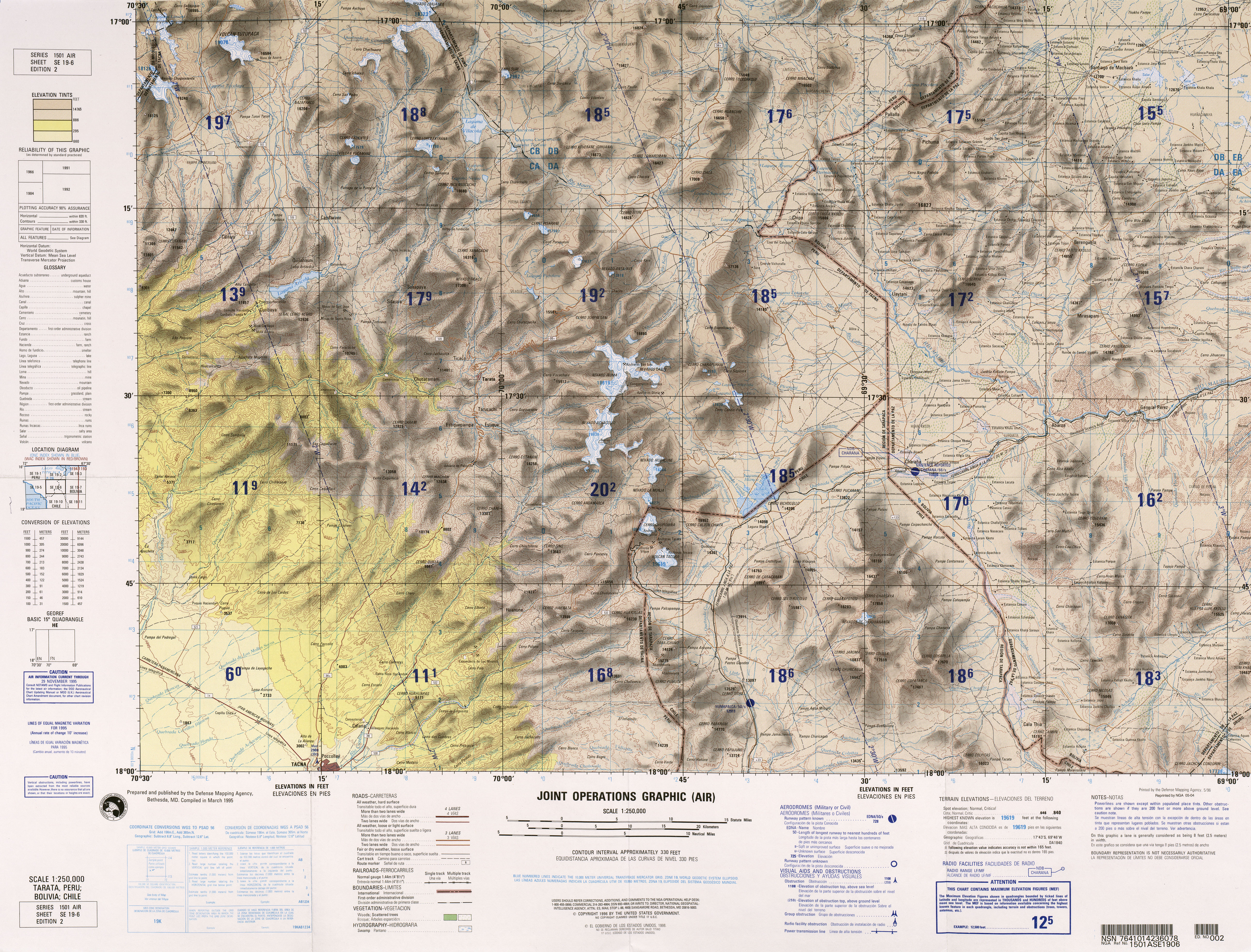
Juqhuri (Aymara jughu muddy place,[2] -ri a suffix, Hispanicized spelling Jucure, Jucuri) is a mountain in the Andes of southern Peru, about 5,223.1 metres (17,136 ft) high. It lies in the Tacna Region, Tarata Province, Tarata District. Juqhuri is situated near the Bolivian border, south of the Mawri River (Mauri).[3]
| Juqhuri | |
|---|---|
 Juqhuri Peru | |
| Highest point | |
| Elevation | 5,223.1 m (17,136 ft)[1] |
| Coordinates | 17°19′28″S 69°41′25″W |
| Geography | |
| Location | Peru, Tacna Region, Tarata Province |
| Parent range | Andes |
References
- "South America Maps". Joint Operations Graphic. Retrieved July 14, 2014.
- Radio San Gabriel, "Instituto Radiofonico de Promoción Aymara" (IRPA) 1993, Republicado por Instituto de las Lenguas y Literaturas Andinas-Amazónicas (ILLLA-A) 2011, Transcripción del Vocabulario de la Lengua Aymara, P. Ludovico Bertonio 1612 (Spanish-Aymara-Aymara-Spanish dictionary)
- escale.minedu.gob.pe - UGEL map of the Tarata Province (Tacna Region)
This Tacna Region geography article is a stub. You can help Wikipedia by expanding it. |
Текст в блоке "Читать" взят с сайта "Википедия" и доступен по лицензии Creative Commons Attribution-ShareAlike; в отдельных случаях могут действовать дополнительные условия.
Другой контент может иметь иную лицензию. Перед использованием материалов сайта WikiSort.org внимательно изучите правила лицензирования конкретных элементов наполнения сайта.
Другой контент может иметь иную лицензию. Перед использованием материалов сайта WikiSort.org внимательно изучите правила лицензирования конкретных элементов наполнения сайта.
2019-2026
WikiSort.org - проект по пересортировке и дополнению контента Википедии
WikiSort.org - проект по пересортировке и дополнению контента Википедии