geo.wikisort.org - Mountains
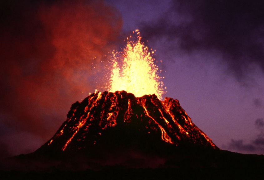
Jbel Tamarrakoit is an extinct shield volcano located 60 km south of the city of Ifrane in the Middle Atlas of Morocco. This mountain is one of the three main volcanic structures[1] of the Azrou region along with Jbel El Koudiate and Jbel Outgui.
| Jbel Tamarrakoit | |
|---|---|
 Jbel Tamarrakoit Fès-Meknès, Morocco | |
| Highest point | |
| Elevation | 2,345 m (7,694 ft) |
| Coordinates | 33°03′44″N 5°03′55″W |
| Geography | |
| Location | Fès-Meknès, Morocco |
| Parent range | Middle Atlas |
| Geology | |
| Age of rock | Pleistocene |
| Mountain type | Shield volcano |
See also
References
- Kharbouch, Fatima; Cotten, Joseph; Youbi, Nasrrddine; Bellon, Hervé; Maury, René C.; El Azzouzi, M'Hammed (2010). "Petrology and K-Ar chronology of the Neogene-Quaternary Middle Atlas basaltic province, Morocco". Bulletin de la Société Géologique de France. 181 (3): 243–257. doi:10.2113/gssgfbull.181.3.243.
Volcanoes | ||
|---|---|---|
| Types |
|  |
| Volcanic rocks |
| |
| Lists and groups |
| |
| ||
На других языках
- [en] Jbel Tamarrakoit
[es] Jbel Tamarrakoit
Jbel Tamarrakoit es un volcán de escudo extinto localizado a 60 km al sur de la ciudad de Ifrane en el Atlas Medio de Marruecos. Esta montaña es una de las tres estructuras volcánicas principales de la región Azrou junto con el Jbel El Koudiate y Jbel Outgui.[1][fr] Djebel Tamarrakoït
Le djebel Tamarrakoit est un volcan de type bouclier situé à 60 km au sud de la ville d'Ifrane au Maroc. Il est une des trois principales structures volcaniques de la région d'Azrou avec le djebel Outgui et le djebel El Koudiate.Текст в блоке "Читать" взят с сайта "Википедия" и доступен по лицензии Creative Commons Attribution-ShareAlike; в отдельных случаях могут действовать дополнительные условия.
Другой контент может иметь иную лицензию. Перед использованием материалов сайта WikiSort.org внимательно изучите правила лицензирования конкретных элементов наполнения сайта.
Другой контент может иметь иную лицензию. Перед использованием материалов сайта WikiSort.org внимательно изучите правила лицензирования конкретных элементов наполнения сайта.
2019-2025
WikiSort.org - проект по пересортировке и дополнению контента Википедии
WikiSort.org - проект по пересортировке и дополнению контента Википедии