geo.wikisort.org - Mountains
Jadovnik (Cyrillic: Јадовник) is a mountain in the municipality of Drvar, Bosnia and Herzegovina. It has an altitude of 1,656 metres (5,433 ft).[2]
| Jadovnik | |
|---|---|
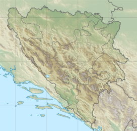 Jadovnik Bosnia and Herzegovina | |
| Highest point | |
| Elevation | 1,656 metres (5,433 ft) |
| Coordinates | 44°16′52″N 16°26′03″E[1] |
| Geography | |
| Location | Bosnia and Herzegovina |
See also
References
- Jadovnik Wikimapia
- "Statistical Yearbook of the Federation of Bosnia and Herzegovina" (PDF). Federation of Bosnia and Herzegovina, Federal Office of Statistics. 2009. p. 28. Archived from the original (PDF) on 2011-06-29.
This Canton 10 geography article is a stub. You can help Wikipedia by expanding it. |
Текст в блоке "Читать" взят с сайта "Википедия" и доступен по лицензии Creative Commons Attribution-ShareAlike; в отдельных случаях могут действовать дополнительные условия.
Другой контент может иметь иную лицензию. Перед использованием материалов сайта WikiSort.org внимательно изучите правила лицензирования конкретных элементов наполнения сайта.
Другой контент может иметь иную лицензию. Перед использованием материалов сайта WikiSort.org внимательно изучите правила лицензирования конкретных элементов наполнения сайта.
2019-2025
WikiSort.org - проект по пересортировке и дополнению контента Википедии
WikiSort.org - проект по пересортировке и дополнению контента Википедии