geo.wikisort.org - Mountains
The Illhorn is a mountain of the Swiss Pennine Alps, overlooking Chandolin in the canton of Valais. With a height of 2,717 metres above sea level, it is the highest point of the Illgraben valley.
This article uses bare URLs, which are uninformative for readers and may be threatened by link rot. (August 2022) |
| Illhorn | |
|---|---|
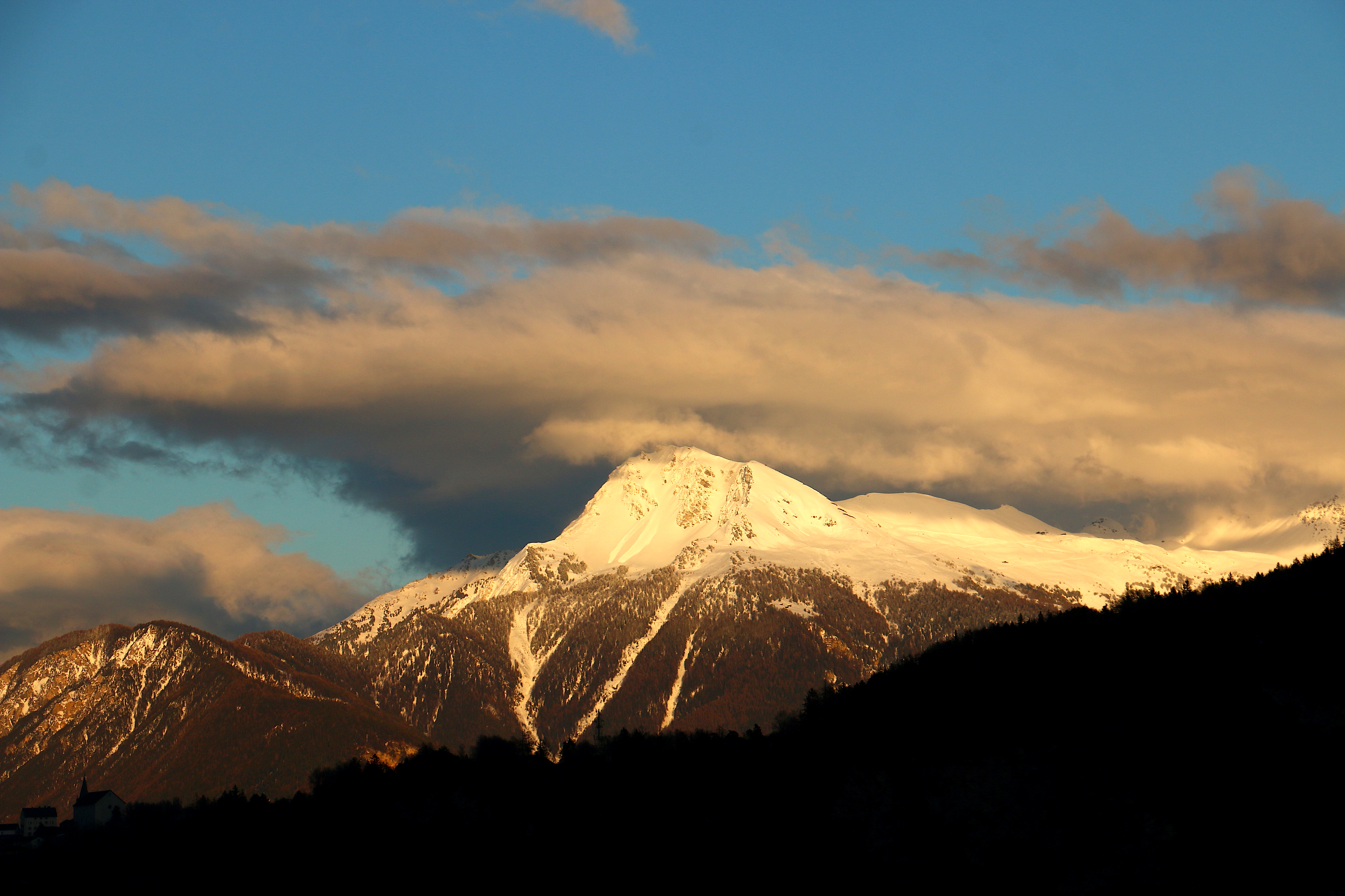
 View from the Illsee (east side) | |
| Highest point | |
| Elevation | 2,717 m (8,914 ft) |
| Prominence | 235 m (771 ft)[1] |
| Coordinates | 46°15′45.9″N 7°36′58.4″E |
| Geography | |
 Illhorn Location in Switzerland | |
| Location | Valais, Switzerland |
| Parent range | Pennine Alps |
Illgraben debris flows
The Illgraben catchment extends from the summit of the Illhorn to the Rhone at an elevation of 610m, and experiences debris flows and mud slides several times annually.[2][3] The largest recorded debris flow in the valley occurred in June 1961, and had a volume of several hundred thousand cubic metres. A warning system gives alert signals 5–15 minutes before the arrival of debris flows at channel crossings.[4] The area is a popular hiking spot and these geomorphological processes are visible most years.[5]
References
- Retrieved from the Swisstopo topographic maps. The key col is the Illpass (2,482 m).
- Berger, C., McArdell, B. W., and Schlunegger, F. (2011), Direct measurement of channel erosion by debris flows, Illgraben, Switzerland, J. Geophys. Res., 116, F01002, doi:10.1029/2010JF001722.
- http://www.quanterra.org/guide/guide1_16.htm
- Badoux, A., Graf, C., Rhyner, J. et al. A debris-flow alarm system for the Alpine Illgraben catchment: design and performance. Nat Hazards 49, 517–539 (2009). https://doi.org/10.1007/s11069-008-9303-x
- "Hiking over the Bhutan Bridge to the Illgraben".
External links
This article about a mountain, mountain range, or peak located in Valais is a stub. You can help Wikipedia by expanding it. |
На других языках
[de] Illhorn
Das Illhorn ist ein Berg oberhalb des Ferienorts Chandolin im Kanton Wallis, Schweiz. Der Gipfel mit einer Höhe von 2.716 m ü. M. ist der nördlichste Berg der Gebirgskette von der Les Diablons über die Bella Tola zum Illhorn, der das Val d’Anniviers vom Turtmanntal trennt und auch die Sprachgrenze bildet. Im Süden des Illhorns liegt der kleine Illstausee. Das Illhorn ist nur rund 7 Kilometer von der fast 2.200 Meter tiefer gelegenen Stadt Sierre entfernt.- [en] Illhorn
[fr] Illhorn
L'Illhorn est un sommet culminant à 2 716 m au-dessus du village de Chandolin dans le canton du Valais, en Suisse.Другой контент может иметь иную лицензию. Перед использованием материалов сайта WikiSort.org внимательно изучите правила лицензирования конкретных элементов наполнения сайта.
WikiSort.org - проект по пересортировке и дополнению контента Википедии