geo.wikisort.org - Mountains
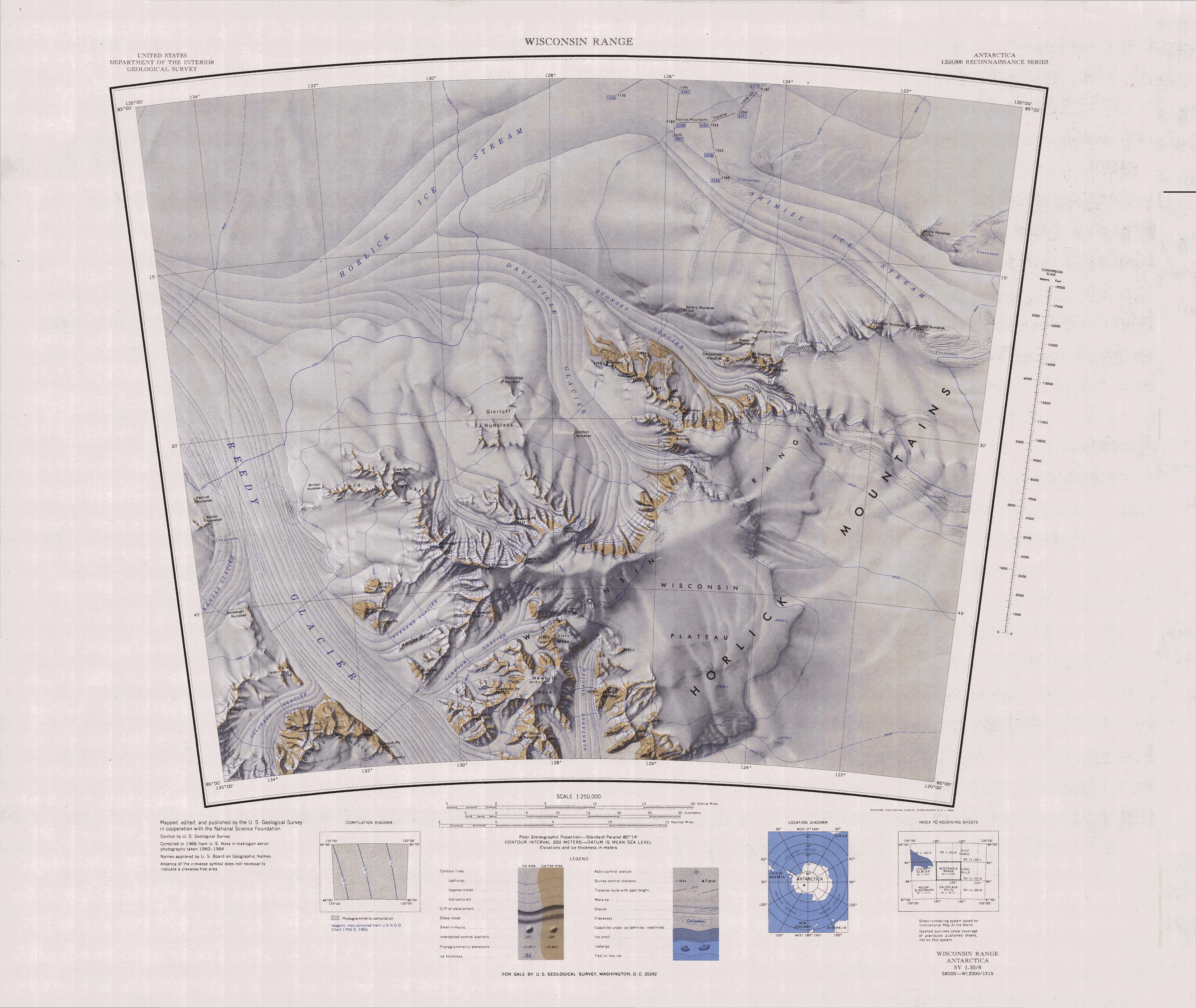
Hendrickson Peak (85°56′S 132°49′W) is a rock peak rising over 2,000 metres (6,600 ft) at the west side of Reedy Glacier, standing 2 nautical miles (4 km) west of May Peak in the Quartz Hills of Antarctica. It was mapped by the United States Geological Survey from surveys and U.S. Navy air photos, 1960–64, and was named by the Advisory Committee on Antarctic Names for George Hendrickson, a glaciologist at Byrd Station in 1962–63 and 1963–64.[1]
References
- "Hendrickson Peak". Geographic Names Information System. United States Geological Survey, United States Department of the Interior. Retrieved 2012-06-11.
![]() This article incorporates public domain material from the United States Geological Survey document: "Hendrickson Peak". (content from the Geographic Names Information System)
This article incorporates public domain material from the United States Geological Survey document: "Hendrickson Peak". (content from the Geographic Names Information System)
This Marie Byrd Land location article is a stub. You can help Wikipedia by expanding it. |
На других языках
[de] Hendrickson Peak
Der Hendrickson Peak ist ein über 2000 m hoher und felsiger Berg im westantarktischen Marie-Byrd-Land. In den Quartz Hills ragt er 3 km westlich des May Peak auf.- [en] Hendrickson Peak
Текст в блоке "Читать" взят с сайта "Википедия" и доступен по лицензии Creative Commons Attribution-ShareAlike; в отдельных случаях могут действовать дополнительные условия.
Другой контент может иметь иную лицензию. Перед использованием материалов сайта WikiSort.org внимательно изучите правила лицензирования конкретных элементов наполнения сайта.
Другой контент может иметь иную лицензию. Перед использованием материалов сайта WikiSort.org внимательно изучите правила лицензирования конкретных элементов наполнения сайта.
2019-2025
WikiSort.org - проект по пересортировке и дополнению контента Википедии
WikiSort.org - проект по пересортировке и дополнению контента Википедии