geo.wikisort.org - Mountains
Harrow Hill is an archaeological site in West Sussex, England. It is on the South Downs about 3 miles (5 km) north of the village of Angmering and 5 miles (8 km) north-west of Worthing.
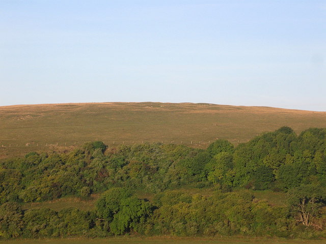 The earthworks on the crown of the hill | |
 Shown within West Sussex | |
| Location | near Angmering, West Sussex |
|---|---|
| Coordinates | 50°52′44″N 0°27′49″W |
| OS grid reference | TQ 082 100 |
| History | |
| Periods | Neolithic Bronze Age |
Scheduled monument | |
| Designated | 22 February 1933 |
| Reference no. | 1015239 |
There is Neolithic flint mine, and a Martin Down style enclosure of the Bronze Age. The site is a scheduled monument.[1]
Description
Flint mine
The flint mine is on the crown of the hill, occupying about 8 hectares (20 acres), there are about 245 mine shafts and pits. The shafts survive as circular hollows of diameter up to 19.5 metres (64 ft) and depth 1.8 metres (5 ft 11 in); there are spoil heaps of height up to 1 metre (3 ft 3 in). The southern part of the area, where there is hummocky ground, is thought to show a slightly different period of mining.[1]
A shaft was excavated in 1924–25: its width was 6.1 metres (20 ft) and it was found to be 6.7 metres (22 ft) deep. There had been some exploitation of upper levels of flint, and there were six radiating galleries at the bottom of the pit.[2] Some galleries had engraved designs above the entrances, which may have been miners' tallies. An antler pick from a shaft has been radio-carbon dated to about 3710 BC.[1]
Flint was mined probably for trading elsewhere. The flint mine at Cissbury, about 3.7 miles (6.0 km) to the south-east, dates from about the same time. There are also flint mines near Harrow Hill, at Church Hill, about 2.2 miles (3.5 km) south-east, and at Blackpatch, about 1.0 mile (1.6 km) south-east.[2]
Martin Down style enclosure
The Martin Down style enclosure, interpreted as a domestic settlement, is named after the Bronze Age enclosure on Martin Down in Hampshire. It is a rectangle aligned west–east, and at the north-east corner it partly overlies mine shafts on the southern side of the mining area. There is a bank up to 6 metres (20 ft) wide and 0.6 metres (2 ft 0 in) high, with an external ditch, enclosing an area of about 0.3 hectares (0.7 acres); there is an entrance on the west side.[1][2]
It was partly excavated in 1936. Pottery sherds from about 600 BC were found, and skulls of 50 to 100 oxen. There was once a timber gateway at the entrance, and the bank had a timber palisade.[1][2]
References
| Wikimedia Commons has media related to Harrow Hill, West Sussex. |
- Historic England. "Prehistoric flint mine and a Martin Down style enclosure on Harrow hill, 850m south east of Lee Farm (1015239)". National Heritage List for England. Retrieved 2 October 2020.
- Richard Wainwright. A guide to the Prehistoric Remains in Britain. Volume One: South and East. Constable and Co, 1978. Page 242.
Другой контент может иметь иную лицензию. Перед использованием материалов сайта WikiSort.org внимательно изучите правила лицензирования конкретных элементов наполнения сайта.
WikiSort.org - проект по пересортировке и дополнению контента Википедии