geo.wikisort.org - Mountains
Gullfjellet or Gulfjellet is a 987-metre (3,238 ft) tall mountain in Vestland county, Norway. It is situated on the border between the municipalities of Bergen and Samnanger, and it is the highest mountain in the municipality of Bergen. The name "Gul" is an old name for a strong wind, so the old name - Gulfjellet - means "the mountain with strong wind".


| Gullfjellet | |
|---|---|
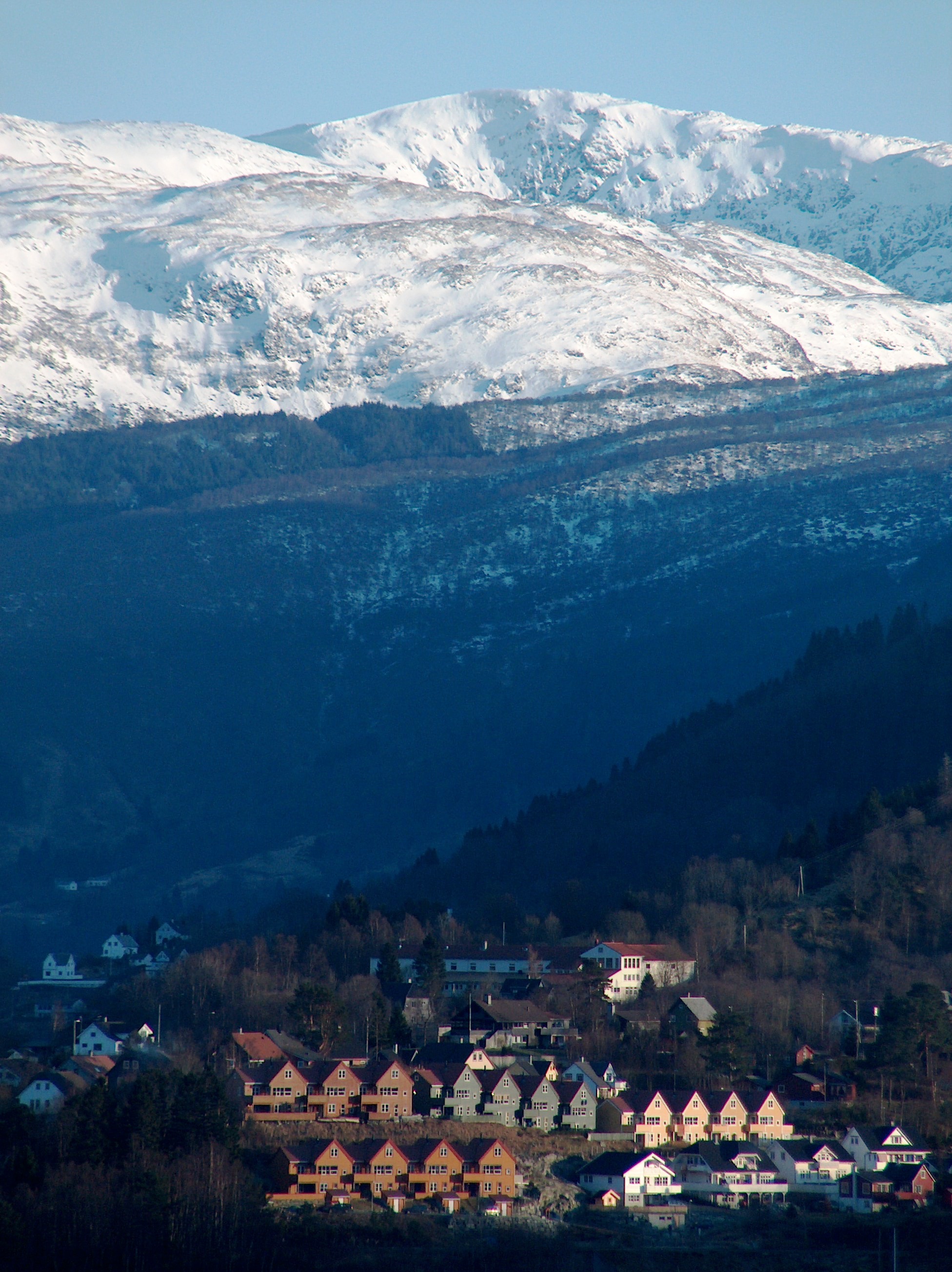 Gullfjellet in the horizon. Garnes in front. | |
| Highest point | |
| Elevation | 987 m (3,238 ft) |
| Prominence | 714 m (2,343 ft)[1] |
| Isolation | 14,500 m (47,600 ft) |
| Coordinates | 60.3731°N 5.5804°E[2] |
| Geography | |
 Gullfjellet Location of the mountain  Gullfjellet Gullfjellet (Norway) | |
| Location | Vestland, Norway |
| Topo map | 1215 IV Samnanger |
| Climbing | |
| Easiest route | Hiking along cairns |
Due to its importance as a hiking attraction, and much bad weather, large and numerous cairns have been put up ("Varderekka") to guide hikers from both sides of the mountain. The watercourses on Gullfjellet supports large parts of the Bergen region with piped water.
Svartavatnet is situated 400 metres (1,300 ft) to the west of the mountain.[3]
See also
- List of mountains of Norway
References
- "Fjellforum". Archived from the original on 2007-09-27.
- "Gullfjellet, Bergen (Vestland)" (in Norwegian). yr.no. Retrieved 2020-03-01.
- Her er Bergens nye vannreserve
This article related to Bergen, Norway is a stub. You can help Wikipedia by expanding it. |
This article about a mountain, mountain range, or peak in Vestland is a stub. You can help Wikipedia by expanding it. |
На других языках
- [en] Gullfjellet
[fr] Gullfjellet
Gullfjellet ou Gulfjellet est la plus haute montagne de la kommune de Bergen en Norvège. Située à la limite entre Bergen et la kommune de Samnanger, elle culmine à 987 m d'altitude.Другой контент может иметь иную лицензию. Перед использованием материалов сайта WikiSort.org внимательно изучите правила лицензирования конкретных элементов наполнения сайта.
WikiSort.org - проект по пересортировке и дополнению контента Википедии