geo.wikisort.org - Mountains
The Gross Windgällen is a 3,187 m high mountain in the Glarus Alps, overlooking the valley of the Reuss in the canton of Uri. The name Gross Windgällen derives from Gälle or gellen, meaning as much as wailing, shrilling or whistling.
| Gross Windgällen | |
|---|---|
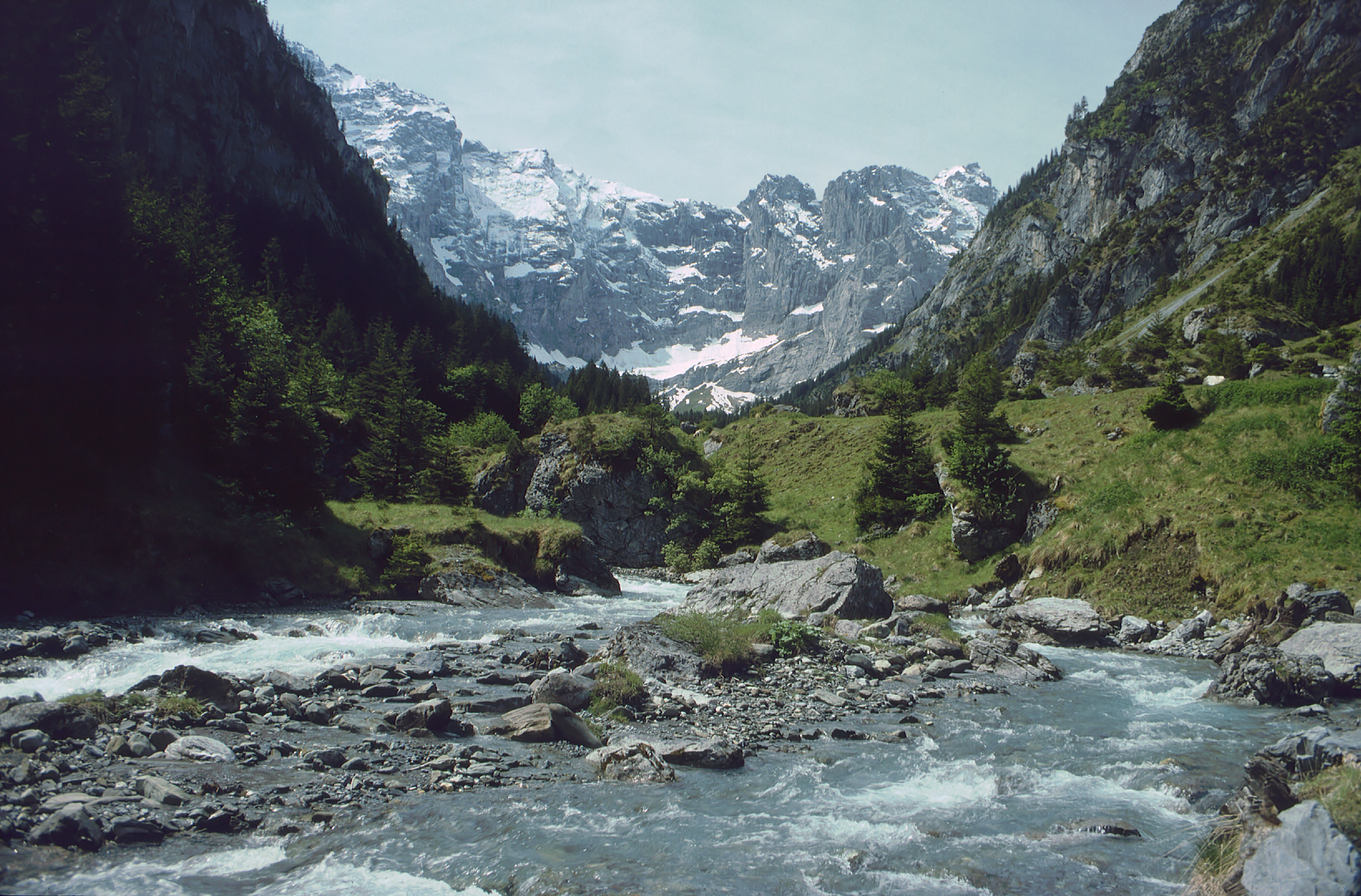
 Gross Windgällen (left) and Chli Windgällen (right) from the west side | |
| Highest point | |
| Elevation | 3,187 m (10,456 ft) |
| Prominence | 552 m (1,811 ft)[1] |
| Parent peak | Tödi |
| Listing | Alpine mountains above 3000 m |
| Coordinates | 46°48′26″N 8°43′56″E |
| Geography | |
 Gross Windgällen Location in Switzerland | |
| Location | Uri, Switzerland |
| Parent range | Glarus Alps |
Geography
The massif of the Gross Wingällen lies between two parallel valleys, the Schächental on the north side and the Maderanertal on the south side, both converging to the Reuss on the west at approximately 500 metres above sea level or 2,700 m below the summit. On the north side, the massif encloses a small valley, the Brunnital, which belong to the Schächental, thus forming an amphitheatre of several summits above 3,000 m, including the Gross Ruchen on the east; the north wall of the Gross Ruchen being connected with that of the Gross Windgällen.
Several glaciers can be found on the southern side of the mountain, among which the Stäfelfirn, located east of the summit. The north-west face is very steep and has no glaciers, it overlooks the small lake of Seewli (2,028 m). Two kilometres south-west of the Gross Windgällen lies the Chli Windgällen (2,986 m).
The closest locality is Golzern on its southern flanks at 1,400 m, from where the Gross Windgällen is usually climbed. The Windgällen hut, owned by the Academic Alpine Club of Zurich is located higher at 2,032 m. From there starts the normal route to the top, via the Stäfelfirn.
Climbing
The first climbing was made in 1848 by a mountain guide from Uri, Josef Maria Tresch-Exer together with Melchior Tresch. This enabled Tresch-Exer for a subsequent climb to the summit together with Georg Hoffmann which took place ten days later.
References
- Retrieved from the Swisstopo topographic maps. The key col is the Ruchchälenpass (2,635 m).
External links
- Gross Windgällen on Summitpost
- Gross Windgällen on Hikr
- Gross Windgällen on top-of-uri.ch
- Windgällenhütte AACZ (German)
| Authority control |
|
|---|
На других языках
[de] Gross Windgällen
Die Gross Windgällen ist ein 3187 m ü. M. hoher Berg der Glarner Alpen im Schweizer Kanton Uri. Er liegt nördlich des Maderanertals und südlich des Schächentals. Zusammen mit der Chli Windgällen (2986 m ü. M.) bildet er den westlichen Eckpfeiler der wuchtigen Bergkette mit Gross Ruchen, Gross Schärhorn und Clariden, welche nach Norden mit steilen mächtigen Felswänden abfällt. Am Fusse der bis zu 900 Meter hohen Nordwand des Gross Windgällen liegt auf 2028 m ü. M. der Seewlisee. Mit neun Hektar Oberfläche und bis zu 20 Meter Tiefe ist er der grösste natürliche Bergsee im Kanton Uri.- [en] Gross Windgällen
[fr] Gross Windgällen
Le Gross Windgällen est une montagne située dans le canton d'Uri, dans les Alpes glaronaises.[it] Gross Windgällen
Il Gross Windgällen (3.187 m s.l.m.) è una montagna delle Alpi Glaronesi. Si trova nello svizzero Canton Uri.Другой контент может иметь иную лицензию. Перед использованием материалов сайта WikiSort.org внимательно изучите правила лицензирования конкретных элементов наполнения сайта.
WikiSort.org - проект по пересортировке и дополнению контента Википедии